Withnell Bay lies on the south-western edge of Murujuga National Park on the Burrup Peninsula, a short 25-minute drive from Karratha. This sheltered bay offers a sandy entry beside a small boat ramp, leading to calm, shallow waters (max 5–6m) dotted with patches of hard and soft coral. Snorkelers can explore a sandy bottom with scattered coral bommies, weedy patches, and increasing coral density further out. The bay is flanked by mangroves and red rocky hills, and the surrounding national park is home to one of the world's greatest collections of ancient Aboriginal petroglyphs — a stunning cultural backdrop to a peaceful snorkel.
Withnell Bay
BeginnerGO
GO
It's a go.
Showing last known conditions
Wave Height 0.2 mSwell Period 3.5 sWind Speed 3.8 knPrecipitation 0.0 mmTidal Phase flood
Last evaluated
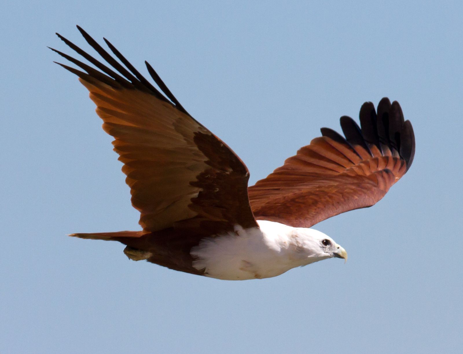 © Jim Bendon from Karratha, Australia
The spot
Community-maintained
Community contribution: submitted by Daniel
Know before you go
Logged by the community, confirmed by mods
Moderate risk: Boat traffic
Weekend boat traffic can be busy; boats sometimes explore the bay. A dive flag must be displayed when in the water.
Low risk: Limited visibility
Visibility is generally less than 5m in warmer months and up to 10m in cooler months.
Low risk: Rough access track
The final 2.5–3 km track from the national park entrance to the beach is unsealed and rough; a 4WD or high-clearance AWD is strongly recommended.
Low risk: Sharp rocks and coral at entry
The entry point is a sandy gap amongst rocks. Snorkelers should wear reef shoes or fins and avoid standing on coral.
Low risk: Limited visibility (warm months)
Visibility is generally less than 5 m during warmer months (November to April), reducing to under 10 m in cooler months.
Low risk: Rocky entry
Entry is a sandy gap amongst rocks — care needed when entering and exiting, especially at low tide.
Low risk: Outgoing tide current
Scuba diving is best at slack high tide; outgoing tidal flow can reduce visibility and increase effort for snorkelers.
Low risk: Sharp coral and marine life
Fragile corals and marine life present — standing on or touching coral is prohibited. Wetsuit or rash guard recommended for protection.
Wildlife Guide
No wildlife notes for this spot yet.
Gallery
1 photo from the community
Getting in
Shore entry
Entry
From Karratha: head west on Dampier Hwy towards Dampier for 16.2 km past Madigan Rd, turn right onto Burrup Rd (brown sign for Withnell Bay). Follow Burrup Rd for 9.3 km through Burrup, then turn right at the brown Withnell Bay sign. Follow the unsealed track for 2.5–3 km to reach the beach. From Dampier: head south on Dampier Hwy, 1.7 km after the Red Dog statue turn left into Burrup Rd, then follow the same route.
Parking & facilities
Unsealed parking area near the beach. No formal parking bays. Suitable for high-clearance vehicles.
Free entry. Murujuga National Park may require a park entry fee if entering via the national park gate.
Spot Map
Community
Gallery ┬╖ 1 photos
Trust
Is this spot real, accurate, still loved?
Spots near Western Australia

No nearby spots yet.
Needs verification
Quick verify
One tap helps the community keep this spot honest.
About this data
- Conditions last evaluated
- Spot data last updated
- Data sources
- Open-Meteo (marine & weather conditions), tide predictions via UTide, community contributors (descriptions, hazards, marine life).
- License
- Spot content licensed under CC BY-SA 4.0. How's the Spot is open source.
Weather & swell ┬╖ Open-Meteo marine & weather APIs Tides ┬╖ UTide harmonic analysis Sea & safety ┬╖ community reports