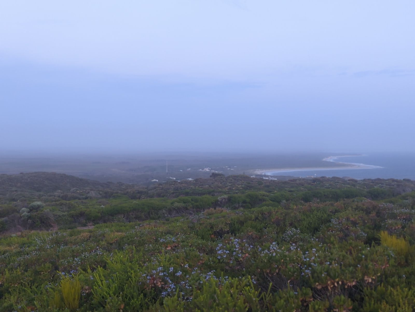
Nestled at the base of towering limestone and basalt cliffs in D'Entrecasteaux National Park, Windy Harbour lives up to its name as one of the only protected anchorages along this rugged southwest coast. Its sheltered, white-sand beach offers calm inshore waters ideal for snorkeling, set against a backdrop of dramatic sea cliffs and the offshore Sandy Island seabird breeding ground. Part of Australia's South West, this remote settlement combines wild coastal beauty with easy beach access for a true nature-immersed snorkeling experience.
Windy Harbour
BeginnerSKIP
SKIP
Poor conditions. Stay out today.
Showing last known conditions
Wave Height 3.5 mSwell Period 10 sWind Speed 2.3 knPrecipitation 6.2 mmTidal Phase ebb
Last evaluated
The spot
Community-maintained
Community contribution: submitted by Daniel
Know before you go
Logged by the community, confirmed by mods
Moderate risk: Rip currents at nearby Salmon Beach
The adjacent Salmon Beach is known for strong rip currents and rough surf with no lifeguards; stay within Windy Harbour's protected cove.
Low risk: Cold water temperatures
Water is consistently cold year-round due to the Southern Ocean current; wetsuit recommended even in summer.
Low risk: Strong winds
As the name suggests, wind can pick up suddenly, creating choppy surface conditions and reducing visibility.
Wildlife Guide
No wildlife notes for this spot yet.
Gallery
2 photos from the community
Getting in
Shore entry
Entry
Windy Harbour is approximately 40 km south of Pemberton via the Windy Harbour Road. The sealed road descends through karri forest to the coast, ending at the settlement.
Parking & facilities
Unsealed parking areas available near the beach and campground, close to the boat ramp.
toiletsshowerspicnic_tablesboat_rampdrinking_water
Campground fees apply: approximately $15-20 per night for unpowered/powered sites. Day-use is free.
Spot Map
Community
Gallery ┬╖ 2 photos
Trust
Is this spot real, accurate, still loved?
Spots near Western Australia

No nearby spots yet.
Needs verification
Quick verify
One tap helps the community keep this spot honest.
About this data
- Conditions last evaluated
- Spot data last updated
- Data sources
- Open-Meteo (marine & weather conditions), tide predictions via UTide, community contributors (descriptions, hazards, marine life).
- License
- Spot content licensed under CC BY-SA 4.0. How's the Spot is open source.
Weather & swell ┬╖ Open-Meteo marine & weather APIs Tides ┬╖ UTide harmonic analysis Sea & safety ┬╖ community reports