Whisky Bay is a stunning little beach tucked into the coastline of Wilsons Promontory National Park in Victoria's Gippsland region, where golden sand meets vivid aqua-blue water. This sheltered cove is where Whisky Creek flows into the sea, creating a scenic pocket beach backed by rolling sand dunes and coastal vegetation. The beach features 200 m of shoreline with granite boulders at either end that form shallow reef habitats. Known for its picturesque sunset views over the ocean — a rarity on Australia's east coast — it's a popular spot for shore-entry snorkeling and diving in the Wilsons Promontory Marine Park, with clear waters and rocky reef edges to explore.
Whisky Bay
IntermediateMAYBE
MAYBE
Fair. Experienced snorkellers only.
Showing last known conditions
Wave Height 0.6 mSwell Period 12 sWind Speed 5.6 knPrecipitation 16 mmTidal Phase flood
Last evaluated
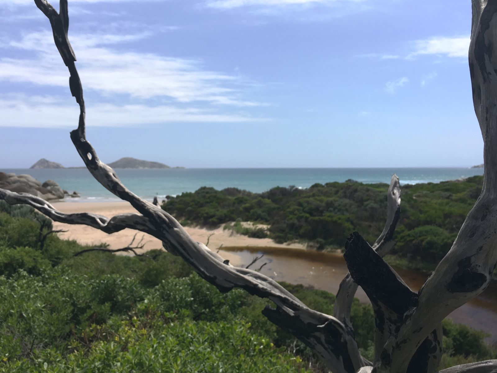
The spot
Community-maintained
Community contribution: submitted by Daniel
Know before you go
Logged by the community, confirmed by mods
Moderate risk: Rip Currents
Whisky Bay has a rip-dominated surf zone with the sand bar often detached from the beach, creating strong rip currents.
Low risk: Moderate Surf Waves
The beach receives waves averaging 1.4 m which can create challenging conditions for inexperienced swimmers and snorkelers.
Wildlife Guide
No wildlife notes for this spot yet.
Gallery
2 photos from the community
Getting in
Shore entry
Entry
Whisky Bay is located within Wilsons Promontory National Park in South Gippsland, Victoria. From Melbourne, take the M1 to the South Gippsland Highway through to the town of Foster, then follow the signs to Wilsons Promontory National Park. Once inside the park, follow the road past Tidal River to the Whisky Bay car park, then take the walking track alongside the creek and over the sand dunes to reach the beach.
Parking & facilities
Whisky Bay Carpark is available at the site, with a short walking track from the car park over the sand dunes to the beach.
parkingtoilets
Wilsons Promontory National Park entry fees apply — a park pass or daily vehicle entry fee is required.
Spot Map
Community
Gallery ┬╖ 2 photos
Trust
Is this spot real, accurate, still loved?
Spots near Victoria

No nearby spots yet.
Needs verification
Quick verify
One tap helps the community keep this spot honest.
About this data
- Conditions last evaluated
- Spot data last updated
- Data sources
- Open-Meteo (marine & weather conditions), tide predictions via UTide, community contributors (descriptions, hazards, marine life).
- License
- Spot content licensed under CC BY-SA 4.0. How's the Spot is open source.
Weather & swell ┬╖ Open-Meteo marine & weather APIs Tides ┬╖ UTide harmonic analysis Sea & safety ┬╖ community reports