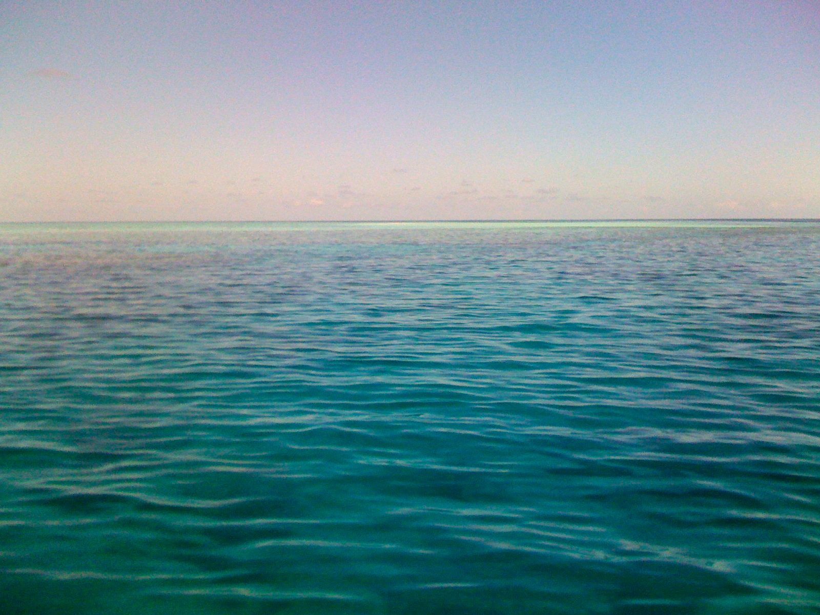
Wheeler Reef is a small, picturesque coral cay on the Great Barrier Reef, sitting about 90 km east of Townsville with reef depths ranging from a shallow 2 m to 18 m. Its sheltered lagoon, coral bombies, and intricate gullies, caves, and swim-throughs make it a magnet for snorkelers of all levels. The reef hosts a stunning array of hard and soft corals coating every surface, with large schools of reef and pelagic fish swirling through the mid-ground and along the reef edge. A public mooring in 13 m of water provides easy access to three distinct zones: deeper coral bombies, a sandy mid-ground training area, and the vibrant reef wall with overhangs and gutters leading into the lagoon. Wheeler Reef remains a protected and recovering reef, having bounced back strongly from Tropical Cyclone Yasi in 2011.
Wheeler Reef
It's a go.
Showing last known conditions
Last evaluated
The spot
Community-maintained
Community contribution: submitted by Daniel
Know before you go
Logged by the community, confirmed by mods
Low risk: Tidal currents
Currents can be moderate to strong around the deeper bombies and along the reef edge, especially during tidal changes. Snorkelers should stay aware of drift and maintain proximity to the mooring.
Low risk: Rapid depth changes near bombies
Depth drops to 25 m around the deeper bombies. Snorkelers should stay in shallower areas (2–12 m) and avoid free-diving beyond their limits.
Wildlife Guide
No wildlife notes for this spot yet.
Gallery
1 photo from the community
Getting in
Wheeler Reef is located approximately 48 nautical miles (90 km) east-northeast of Townsville, North QLD. Accessed via commercial snorkel/dive tour operators that depart from Townsville's Breakwater Marina or the Port of Townsville. The boat ride takes roughly 1.5–2 hours each way.
Paid parking available at Breakwater Marina and nearby car parks in central Townsville. Street parking also available near the marina precinct — arrive early for peak season spaces.
Spot Map
Community
Trust
Is this spot real, accurate, still loved?
Spots near Queensland

No nearby spots yet.
Quick verify
One tap helps the community keep this spot honest.
About this data
- Conditions last evaluated
- Spot data last updated
- Data sources
- Open-Meteo (marine & weather conditions), tide predictions via UTide, community contributors (descriptions, hazards, marine life).
- License
- Spot content licensed under CC BY-SA 4.0. How's the Spot is open source.