Waubs Bay, the sheltered horseshoe bay on Bicheno's western side, offers outstanding shore-entry snorkelling and diving. Enter beside the old concrete breakwater off Jetty Road, then follow the sand-edge west through giant kelp forests into depths reaching 15 metres. This site is famous for its extraordinary marine life — pot-belly seahorses, weedy sea dragons, eagle rays, large schools of trevally and bream, cuttlefish, and colourful sponges on submerged bommies. The rocky reef drops to sand within metres, creating a clear boundary to explore. With a gentle entry slope and relatively protected waters, Waubs Bay is one of Tasmania's most rewarding shore-accessed snorkel spots.
Waubs Bay
IntermediateGO
GO
It's a go.
Showing last known conditions
Wave Height 0.8 mSwell Period 6.8 sWind Speed 2.6 knPrecipitation 2.0 mmTidal Phase ebb
Last evaluated
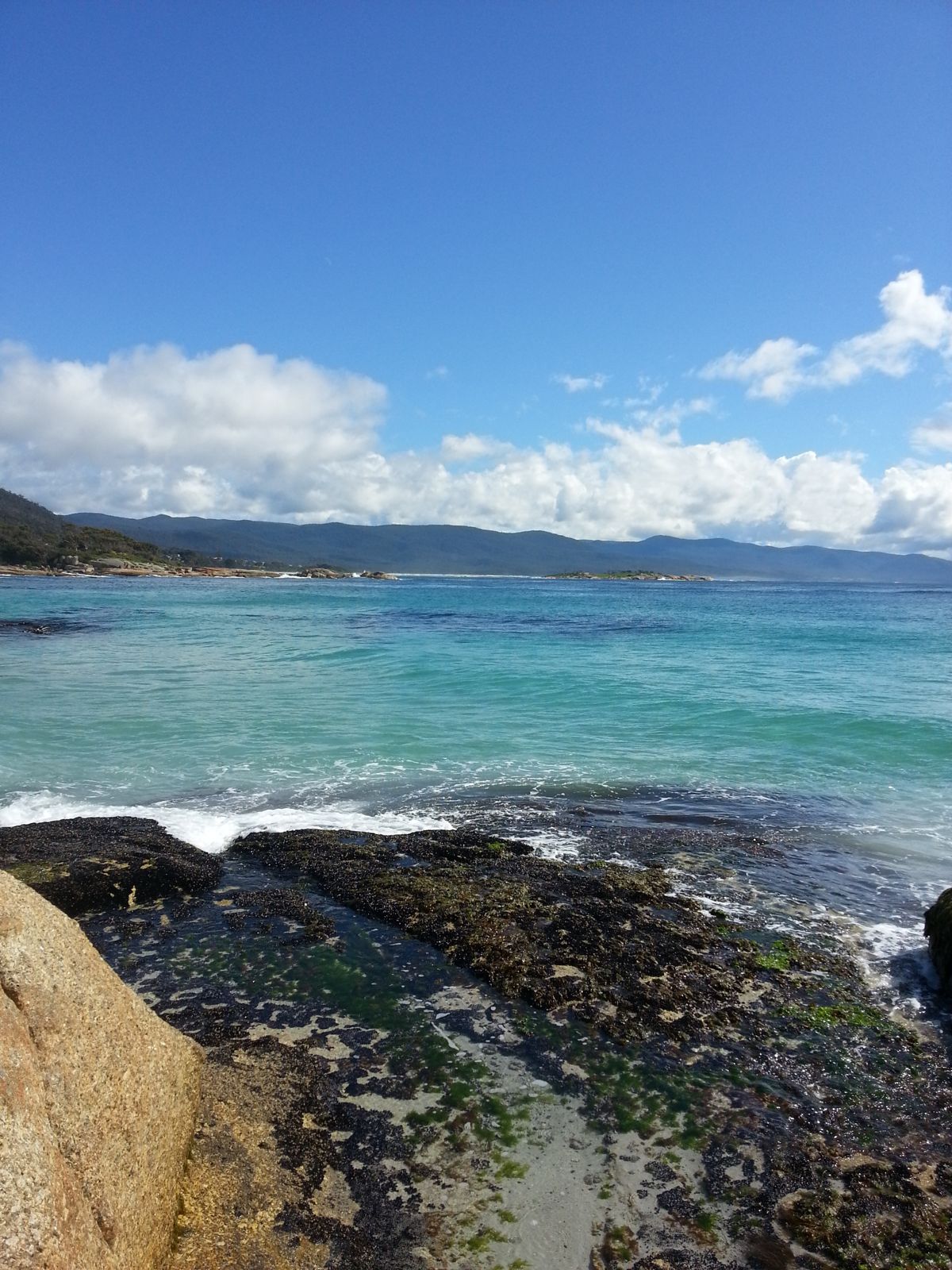
The spot
Community-maintained
Community contribution: submitted by Daniel
Know before you go
Logged by the community, confirmed by mods
Low risk: Swell and surge
Southerly swells can cause moderate surge around the rocky edges of the bay.
Low risk: Rocky reef platforms
Submerged granite boulders and reef near the shoreline present cut and scrape hazards.
Low risk: Variable weather
Bicheno weather can shift quickly; southerly winds can roughen conditions.
Low risk: Boat traffic in harbour
Boat traffic from anchored vessels and passing boats in the harbour area near the entry point.
Low risk: Thick kelp beds
Large kelp beds can entangle snorkelers and divers, especially in the rocky reef areas.
Low risk: Cold water temperatures
Water temperatures range from 12–17°C, requiring thick wetsuits for comfort and safety.
Low risk: Outgoing tide current
Tidal flow can create moderate currents when the tide recedes, particularly around the rocky points at either end of the bay.
Low risk: Boat traffic near breakwater
Anchored and moving boats in the inner bay near the breakwater entry point require awareness
Low risk: Kelp entanglement
Thick broad-leaf kelp forests on the rocky reef can entangle fins and snorkel gear
Low risk: Rapid depth change
Depth increases from 7 to over 15 metres as you follow the sand edge, which can surprise weaker swimmers
Low risk: Boat traffic
The bay has anchored boats and some local boat traffic near the breakwater and moorings.
Low risk: Variable visibility
Visibility can drop after big seas; typically ranges 5-10 metres depending on swell conditions.
Low risk: Whale presence
Whales frequent the bay from July to November — maintain a respectful distance if swimming near marine mammals.
Low risk: Tidal current near headlands
Light currents can develop around the rocky headlands at the bay's edges, particularly on an outgoing tide.
Low risk: Submerged rock ledges
Low reef ledges and patches of rock near shore — wear dive boots or reef shoes to avoid cuts.
Wildlife Guide
No wildlife notes for this spot yet.
Gallery
2 photos from the community
Getting in
Shore entry
Entry
From the Tasman Highway (A3) in Bicheno, turn west onto Burgess Street at the main intersection. Follow Burgess Street past the park, then take the first left onto Jetty Road to the old harbour area. Park near the concrete breakwater on the western side of the bay.
Parking & facilities
Limited parking available near the concrete breakwater at the end of Jetty Road, Bicheno.
parking
Free
Spot Map
Community
Gallery ┬╖ 2 photos
Trust
Is this spot real, accurate, still loved?
Spots near Tasmania

No nearby spots yet.
Needs verification
Quick verify
One tap helps the community keep this spot honest.
About this data
- Conditions last evaluated
- Spot data last updated
- Data sources
- Open-Meteo (marine & weather conditions), tide predictions via UTide, community contributors (descriptions, hazards, marine life).
- License
- Spot content licensed under CC BY-SA 4.0. How's the Spot is open source.
Weather & swell ┬╖ Open-Meteo marine & weather APIs Tides ┬╖ UTide harmonic analysis Sea & safety ┬╖ community reports