Nestled along the wild Ringarooma Bay in north-east Tasmania, Waterhouse Point offers calm, clear waters protected by the headland, making it a superb cold-water snorkelling destination. Part of the Waterhouse Conservation Area, this remote beach hideaway features rocky reef edges and sand patches just offshore, with excellent clarity on calm days. The surrounding conservation area protects coastal heath and lagoon habitats, adding to the untouched feel. Popular with self-sufficient campers, it's a quiet Tasmanian gem for those seeking serene, uncrowded snorkelling away from the tourist trail.
Waterhouse (Waterhouse Point area)
BeginnerGO
GO
It's a go.
Showing last known conditions
Wave Height 0.2 mSwell Period 5.2 sWind Speed 6.5 knPrecipitation 9.2 mmTidal Phase flood
Last evaluated
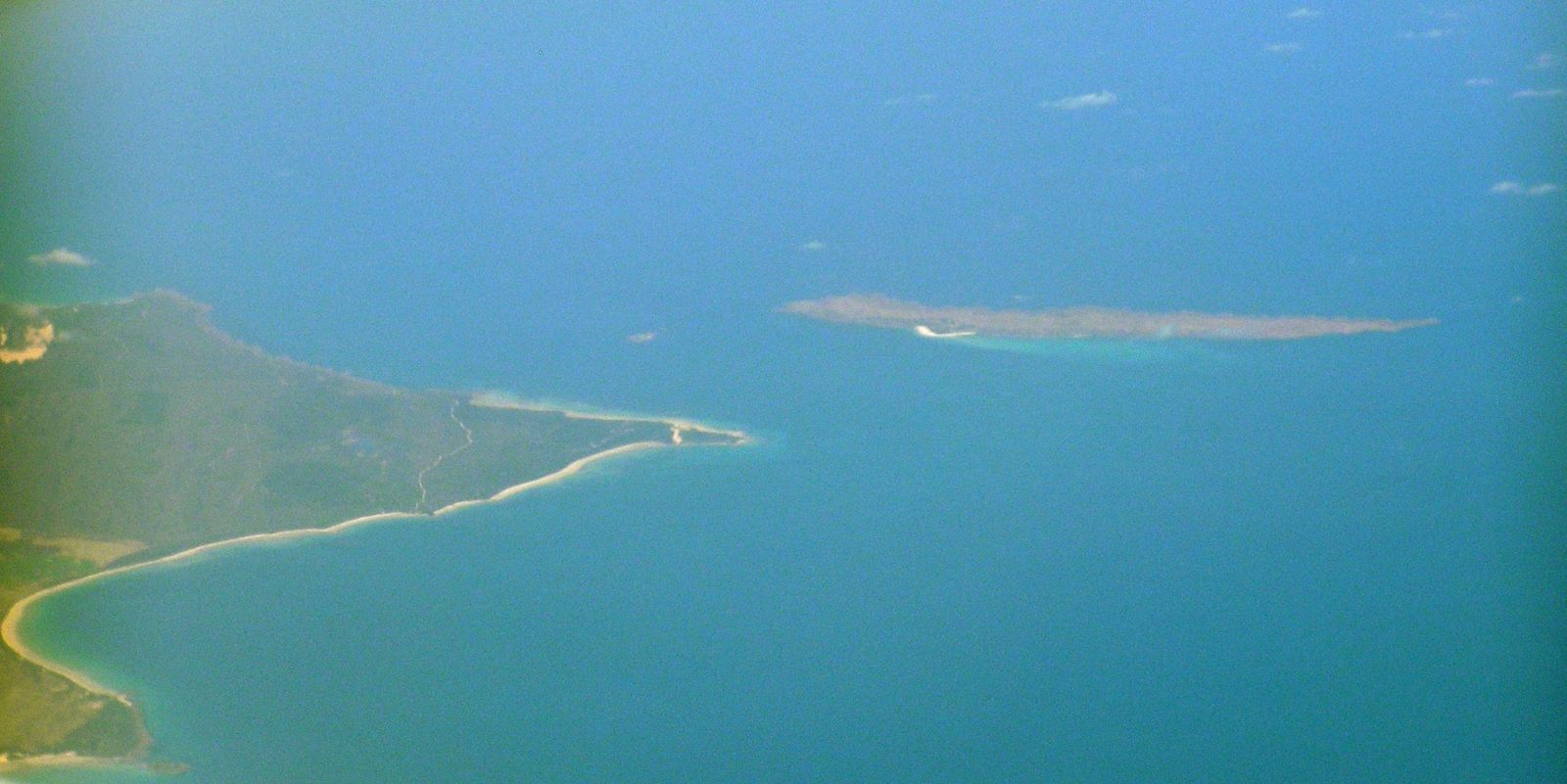 © Graeme Bartlett
The spot
Community-maintained
Community contribution: submitted by Daniel
Know before you go
Logged by the community, confirmed by mods
Low risk: Cold water temperatures
Tasmanian waters are cold year-round (10–16°C). A wetsuit (5mm+) is essential for comfort and safety.
Low risk: Variable weather and swell
Exposed to Bass Strait weather systems. Swell and wind can pick up suddenly, reducing visibility and creating choppy conditions.
Low risk: 4WD beach traffic
The beach is accessed via unsealed 4WD tracks and vehicles drive on the sand. Snorkellers should be aware of vehicle activity near entry points.
Wildlife Guide
No wildlife notes for this spot yet.
Gallery
1 photo from the community
Getting in
Shore entry
Entry
Located ~40 km east of Bridport, Tasmania. From Bridport, take the B82 (Waterhouse Road) east toward Blackmans Lagoon, then follow unsealed 4WD tracks to Waterhouse Point campground. A high-clearance or 4WD vehicle is recommended for the final sandy tracks.
Parking & facilities
Parking available at the Waterhouse Point campground on the sand. No sealed parking areas — suitable for 4WD vehicles.
toilets
Free. The campground is free, though campers must be fully self-sufficient.
Spot Map
Community
Gallery ┬╖ 1 photos
Trust
Is this spot real, accurate, still loved?
Spots near Tasmania

No nearby spots yet.
Needs verification
Quick verify
One tap helps the community keep this spot honest.
About this data
- Conditions last evaluated
- Spot data last updated
- Data sources
- Open-Meteo (marine & weather conditions), tide predictions via UTide, community contributors (descriptions, hazards, marine life).
- License
- Spot content licensed under CC BY-SA 4.0. How's the Spot is open source.
Weather & swell ┬╖ Open-Meteo marine & weather APIs Tides ┬╖ UTide harmonic analysis Sea & safety ┬╖ community reports