Tucked within the rugged World Heritage-listed Mount Barney National Park in the Scenic Rim, Waterfall Creek Reserve offers a wild freshwater swimming and snorkeling experience like no other. Crystal-clear mountain creek water cascades over ancient rhyolite boulders into deep, cool pools surrounded by lush subtropical rainforest. Roughly 1.5 hours from both Brisbane and the Gold Coast, this reserve feels a world away — a hidden gem where you can float in gin-clear natural plunge pools beneath cascading waterfalls. Unlike marine snorkeling, the low-flow freshwater environment provides calm, still conditions perfect for beginners and families seeking a refreshing wilderness escape.
Waterfall Creek Reserve (Mount Barney NP)
BeginnerMAYBE
MAYBE
Fair. Experienced snorkellers only.
Showing last known conditions
Wave Height 0.0 mSwell Period 0.0 sWind Speed 1.4 knPrecipitation 0.2 mmTidal Phase unknown
Last evaluated
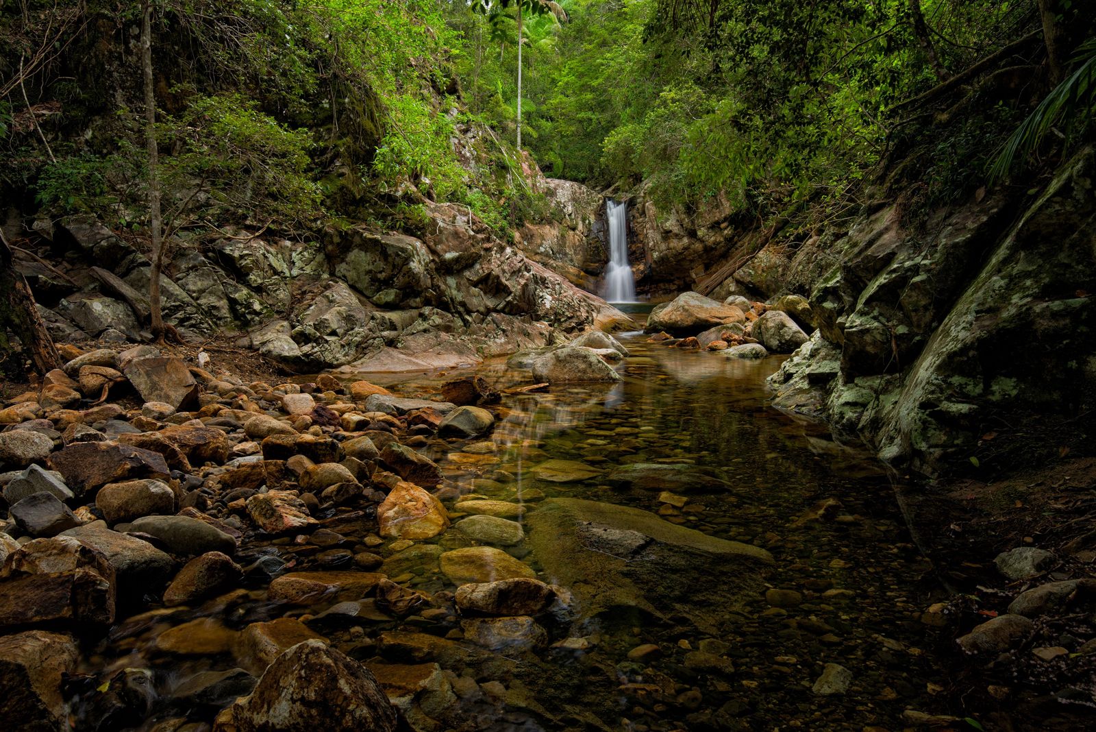 © Alan Wigginton
The spot
Community-maintained
Community contribution: submitted by Daniel
Know before you go
Logged by the community, confirmed by mods
Moderate risk: Flash Flood Risk
Sudden rain upstream can cause rapid creek level rise and strong flowing currents in the narrow gorge. Check weather before entering.
Low risk: Slippery Rocks
Rhyolite boulders and creek beds become extremely slippery when wet, creating fall hazard when entering or exiting water.
Low risk: Limited Mobile Reception
No mobile phone reception in the reserve and surrounding park, requiring self-reliance for emergencies.
Low risk: No Lifeguard or Facilities
Unpatrolled swimming area with no on-site facilities, toilets, or rescue equipment. Swim entirely at own risk.
Wildlife Guide
No wildlife notes for this spot yet.
Gallery
2 photos from the community
Getting in
Shore entry
Entry
Located in Mount Barney National Park, Scenic Rim region. 1.5 hours from Brisbane via Cunningham Highway to Boonah, then follow signs to Mount Barney. From Gold Coast, head via Beaudesert to Waterfall Creek Road, Maroon QLD 4310.
Parking & facilities
Limited gravel roadside parking along Waterfall Creek Road near the reserve. No designated car park.
No entry fee for the reserve. Camping nearby ~$12/site/night.
Spot Map
Community
Gallery ┬╖ 2 photos
Trust
Is this spot real, accurate, still loved?
Spots near New South Wales

No nearby spots yet.
Needs verification
Quick verify
One tap helps the community keep this spot honest.
About this data
- Conditions last evaluated
- Spot data last updated
- Data sources
- Open-Meteo (marine & weather conditions), tide predictions via UTide, community contributors (descriptions, hazards, marine life).
- License
- Spot content licensed under CC BY-SA 4.0. How's the Spot is open source.
Weather & swell ┬╖ Open-Meteo marine & weather APIs Tides ┬╖ UTide harmonic analysis Sea & safety ┬╖ community reports