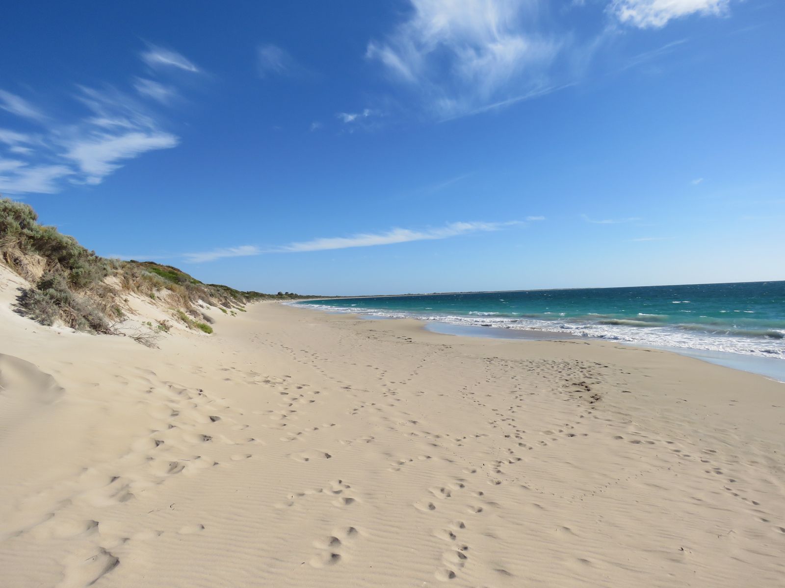
Stretching 8.3 km along the Shoalwater Islands Marine Park, Warnbro Beach offers a long, sandy shoreline with limestone reef formations and seagrass meadows just offshore. Located in Safety Bay, this protected beach is part of Perth's Rockingham coast, known for its calm, shallow waters that make it a fantastic spot for beginner and family-friendly snorkelling. The beach sits within the marine park boundaries, where snorkellers can explore rocky reef edges teeming with fish. Access is easy via concrete ramps and multiple car parks, and the northern end features a boat ramp for convenient water entry.
Warnbro Beach
BeginnerSKIP
SKIP
Poor conditions. Stay out today.
Showing last known conditions
Wave Height 1.3 mSwell Period 9.9 sWind Speed 0.7 knPrecipitation 7.2 mmTidal Phase ebb
Last evaluated
The spot
Community-maintained
Community contribution: submitted by Daniel
Know before you go
Logged by the community, confirmed by mods
Low risk: Bluebottle (Portuguese Man o' War) stings
Stinging jellyfish commonly wash up on Perth beaches, particularly during warmer months.
Low risk: Marine stingers
Warmer waters can bring box jellyfish and other stingers into the shallows.
Low risk: Slip hazard on algae-covered rocks
Limestone reef rocks and rock platforms can be slippery when wet or algae-covered.
Wildlife Guide
No wildlife notes for this spot yet.
Gallery
1 photo from the community
Getting in
Shore entry
Entry
From Perth, head south on Kwinana Freeway towards Rockingham. Turn right onto Safety Bay Road, then turn left onto Warnbro Sound Avenue. Access the beach from Bayeux Avenue car park down a concrete ramp to within 50 m of the shoreline. Multiple access points are available along Warnbro Beach Road.
Parking & facilities
Numerous car parks along Warnbro Beach Road, including a parking lot at the end of Bayeux Avenue. ACROD (disabled) parking bays available near access points. A larger car park is located at the northern end near the boat ramp.
toiletsparkingshowerspicnic_tables
Free entry. No parking fees.
Spot Map
Community
Gallery ┬╖ 1 photos
Trust
Is this spot real, accurate, still loved?
Spots near Western Australia

No nearby spots yet.
Needs verification
Quick verify
One tap helps the community keep this spot honest.
About this data
- Conditions last evaluated
- Spot data last updated
- Data sources
- Open-Meteo (marine & weather conditions), tide predictions via UTide, community contributors (descriptions, hazards, marine life).
- License
- Spot content licensed under CC BY-SA 4.0. How's the Spot is open source.
Weather & swell ┬╖ Open-Meteo marine & weather APIs Tides ┬╖ UTide harmonic analysis Sea & safety ┬╖ community reports