Wallis Lake is a vast 99 km² estuarine playground framed by the Wallingat and Booti Booti National Parks, offering calm, tea-tree-tinted waters fed by the Wallamba and Coolongolook rivers and Pipers Creek. Its many sandy-edge swimming spots — particularly around the Forster and Tuncurry foreshore — provide a sheltered alternative to the surf beaches, with crystal-clear shallows ideal for a leisurely dip, stand-up paddleboarding, kayaking, and snorkelling. The lake's expansive, tranquil surface and backdrop of coastal bushland make it a quintessential Mid North Coast swimming destination.
Wallis Lake (swimming spots)
BeginnerGO
GO
It's a go.
Showing last known conditions
Wave Height 0.5 mSwell Period 6.5 sWind Speed 4.9 knPrecipitation 0.0 mmTidal Phase ebb
Last evaluated
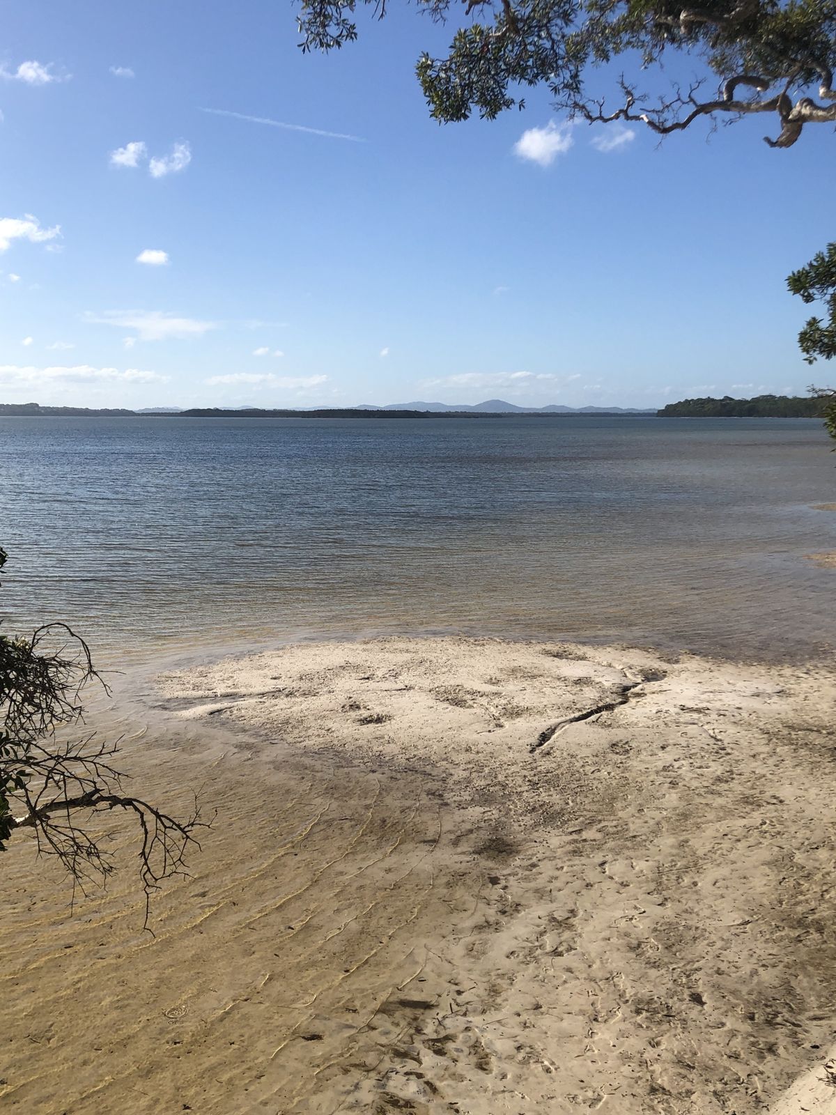 © Dale Gandy
The spot
Community-maintained
Community contribution: submitted by Daniel
Know before you go
Logged by the community, confirmed by mods
Low risk: Tidal currents near entrance
Wallis Lake connects to the ocean at the Forster-Tuncurry entrance, where tidal currents can be strong. Swim away from the channel.
Low risk: Unpatrolled beaches
Most lake-edge swimming spots are unpatrolled. No lifeguards on duty so swim with caution.
Low risk: Boat traffic
Wallis Lake is a popular boating, jet-ski and kayaking area. Be mindful of vessels especially near boat ramps and marked channels.
Low risk: Shallow seagrass areas
Extensive shallow seagrass beds can be easy to scrape against; avoid walking on or disturbing the seagrass to protect the ecosystem.
Wildlife Guide
No wildlife notes for this spot yet.
Gallery
5 photos from the community
Getting in
Shore entry
Entry
Wallis Lake spans the Forster-Tuncurry area on the NSW Mid North Coast. The main swimming spots are along the Forster foreshore (off Lake Street) and the Tuncurry side (off Beach Street). From the Pacific Highway, take the Lakes Way turn-off into Forster.
Parking & facilities
Street parking is available along Lake Street in Forster and Beach Street in Tuncurry. There are also public car parks near the Tuncurry Rock Pool and the Forster Town Beach precinct.
toiletsparkingpicnic_tablesdrinking_water
Free entry. No fees for lake access.
Spot Map
Community
Gallery ┬╖ 5 photos
Trust
Is this spot real, accurate, still loved?
Spots near New South Wales

No nearby spots yet.
Needs verification
Quick verify
One tap helps the community keep this spot honest.
About this data
- Conditions last evaluated
- Spot data last updated
- Data sources
- Open-Meteo (marine & weather conditions), tide predictions via UTide, community contributors (descriptions, hazards, marine life).
- License
- Spot content licensed under CC BY-SA 4.0. How's the Spot is open source.
Weather & swell ┬╖ Open-Meteo marine & weather APIs Tides ┬╖ UTide harmonic analysis Sea & safety ┬╖ community reports