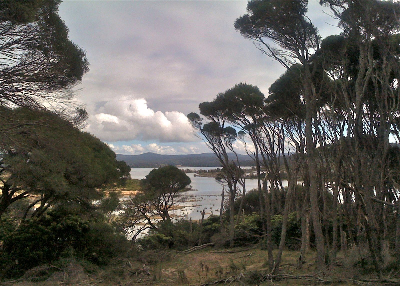
Wallagoot Lake is a large, calm coastal lake nestled within Bournda National Park on the NSW Far South Coast. Sheltered from ocean swell, its glassy, protected waters are ideal for beginner snorkelers and families. The lake's unique aquatic environment supports a rich diversity of marine life, while the surrounding bushland — home to waterfowl and threatened little terns — adds a serene, wild backdrop. Access is via a well-maintained picnic area with a boat ramp, making entry easy from the sandy shoreline. The lake's warm, shallow margins offer clear visibility in summer, perfect for spotting fish and crustaceans in the seagrass beds.
Wallagoot Lake
BeginnerGO
GO
It's a go.
Showing last known conditions
Wave Height 0.5 mSwell Period 7.0 sWind Speed 2.0 knPrecipitation 5.8 mmTidal Phase ebb
Last evaluated
The spot
Community-maintained
Community contribution: submitted by Daniel
Know before you go
Logged by the community, confirmed by mods
Moderate risk: Hot weather and bushfire risk
Summer temperatures can be extreme with elevated fire danger; total fire bans may close the park.
Moderate risk: Low tide access to Wallagoot Gap
Wallagoot Gap is safest at low tide; at high tide the gorge can be cut off or have strong surge conditions
Moderate risk: Extreme weather closures
The park may close during extreme weather or bushfire danger periods, stranding visitors or requiring immediate evacuation.
Low risk: Limited mobile reception
Very limited mobile phone coverage in Bournda National Park — download maps and emergency apps before arrival.
Low risk: Variable water levels at lake entrance
The sandbar separating the lake from the ocean opens and closes naturally, affecting water clarity and tidal flow.
Low risk: Boating traffic
The lake is popular for waterskiing and powerboats — stay aware of boat traffic, especially on weekends and holidays.
Low risk: Strong surge at Gap entrance
Ocean swell channels through the narrow gorge creating powerful surge and wave action near the rock walls
Low risk: Boat traffic
Boat traffic from waterskiers and paddlers can create occasional wake, especially near the boat ramp and channel.
Low risk: Lagoon mouth opening
The lagoon occasionally opens to the ocean, which can create sudden currents near the entrance channel and change water levels.
Low risk: Wood fire barbecue embers
Hot coals and embers from picnic-area barbecues can pose a burn hazard on the sandy shore.
Wildlife Guide
No wildlife notes for this spot yet.
Gallery
2 photos from the community
Getting in
Shore entry
Entry
Drive south from Tathra on Sapphire Coast Drive, then turn onto Wallagoot Lake Road. Follow to the end where the picnic area and boat ramp are located. The spot is within Bournda National Park, approximately 20 km north of Merimbula.
Parking & facilities
Car park at the end of Wallagoot Lake Road, about 220 m from the lake shore.
parkingtoiletspicnic_tablesboat_ramp
$8 per vehicle per day (self-registration envelope system — bring correct change).
Spot Map
Community
Gallery ┬╖ 2 photos
Trust
Is this spot real, accurate, still loved?
Spots near Victoria

No nearby spots yet.
Needs verification
Quick verify
One tap helps the community keep this spot honest.
About this data
- Conditions last evaluated
- Spot data last updated
- Data sources
- Open-Meteo (marine & weather conditions), tide predictions via UTide, community contributors (descriptions, hazards, marine life).
- License
- Spot content licensed under CC BY-SA 4.0. How's the Spot is open source.
Weather & swell ┬╖ Open-Meteo marine & weather APIs Tides ┬╖ UTide harmonic analysis Sea & safety ┬╖ community reports