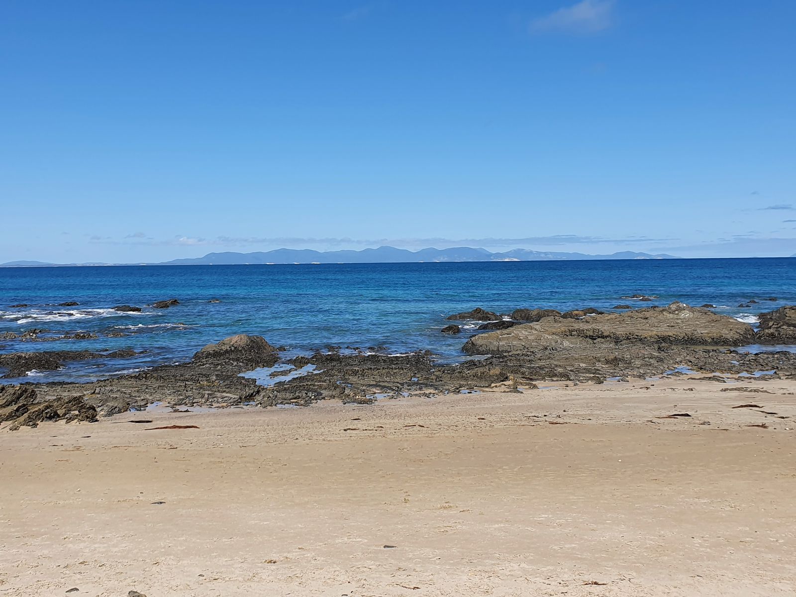
Tucked away on Victoria's South Gippsland coast, Walkerville North Beach offers a rugged snorkeling experience where flat rocky shoreline gives way to hundreds of tide pools teeming with marine life. The sheltered cove sits below the scenic Bayside Drive approach, with clear Bass Strait waters providing good visibility on calm days. Snorkelers can explore the rocky reef edges and shallow gutters that form between the exposed platforms, with views stretching toward Wilsons Promontory. The beach connects to the historic Lime Kilns at low tide, adding a unique cultural backdrop to your underwater adventure.
Walkerville North Beach
BeginnerMAYBE
MAYBE
Fair. Experienced snorkellers only.
Showing last known conditions
Wave Height 0.6 mSwell Period 11 sWind Speed 4.7 knPrecipitation 17 mmTidal Phase flood
Last evaluated
The spot
Community-maintained
Community contribution: submitted by Daniel
Know before you go
Logged by the community, confirmed by mods
Moderate risk: Sharp rocks and barnacles
The flat rock platforms are covered in barnacles and oyster shells that can cause deep cuts; reef shoes are strongly recommended.
Low risk: Low tide reef exposure
The rocky reef platforms are only submerged at mid-to-high tide; snorkeling is restricted to incoming or high tide periods to ensure sufficient water depth over the rocks.
Low risk: Outgoing tide current
Tidal movement through the rocky gutters can create moderate currents as the tide exits the bay, particularly around the reef edges.
Wildlife Guide
No wildlife notes for this spot yet.
Gallery
1 photo from the community
Getting in
Shore entry
Entry
From Melbourne, take the M1 South Gippsland Highway toward Meeniyan, then turn onto Meeniyan-Promontory Road / C444 south to Fish Creek. Continue on South Gippsland Highway to Bayside Drive, which descends into Walkerville. The North Beach access is behind the playground area off Bayside Drive, Walkerville North VIC 3956. Approx 2 hours from Melbourne.
Parking & facilities
Limited roadside parking available along Bayside Drive near the playground and foreshore reserve. No vehicles are permitted on the beach itself.
toiletspicnic_tables
No entry fee. Walkerville Foreshore camping reserve has separate camping fees.
Spot Map
Community
Gallery ┬╖ 1 photos
Trust
Is this spot real, accurate, still loved?
Spots near Victoria

No nearby spots yet.
Needs verification
Quick verify
One tap helps the community keep this spot honest.
About this data
- Conditions last evaluated
- Spot data last updated
- Data sources
- Open-Meteo (marine & weather conditions), tide predictions via UTide, community contributors (descriptions, hazards, marine life).
- License
- Spot content licensed under CC BY-SA 4.0. How's the Spot is open source.
Weather & swell ┬╖ Open-Meteo marine & weather APIs Tides ┬╖ UTide harmonic analysis Sea & safety ┬╖ community reports