Vernon Beach (also known as Point Vernon Beach) is a calm, family-friendly snorkeling spot on the Fraser Coast, just north of Hervey Bay. The real snorkeling action happens in Gatakers Bay, around the rocky headland, where a healthy fringing reef, rock ledges, and tidal rock pools attract turtles, reef fish, and other marine life. The intertidal rock pools provide a safe introduction for beginners and kids to peer into a living aquarium at low tide. With direct beach access from ESA Park, off-street parking, toilets, and BBQ facilities, it's a convenient and rewarding spot to explore Queensland's subtropical reef life without a boat.
Vernon Beach
BeginnerGO
GO
It's a go.
Showing last known conditions
Wave Height 0.1 mSwell Period 3.1 sWind Speed 4.4 knPrecipitation 0.0 mmTidal Phase ebb
Last evaluated
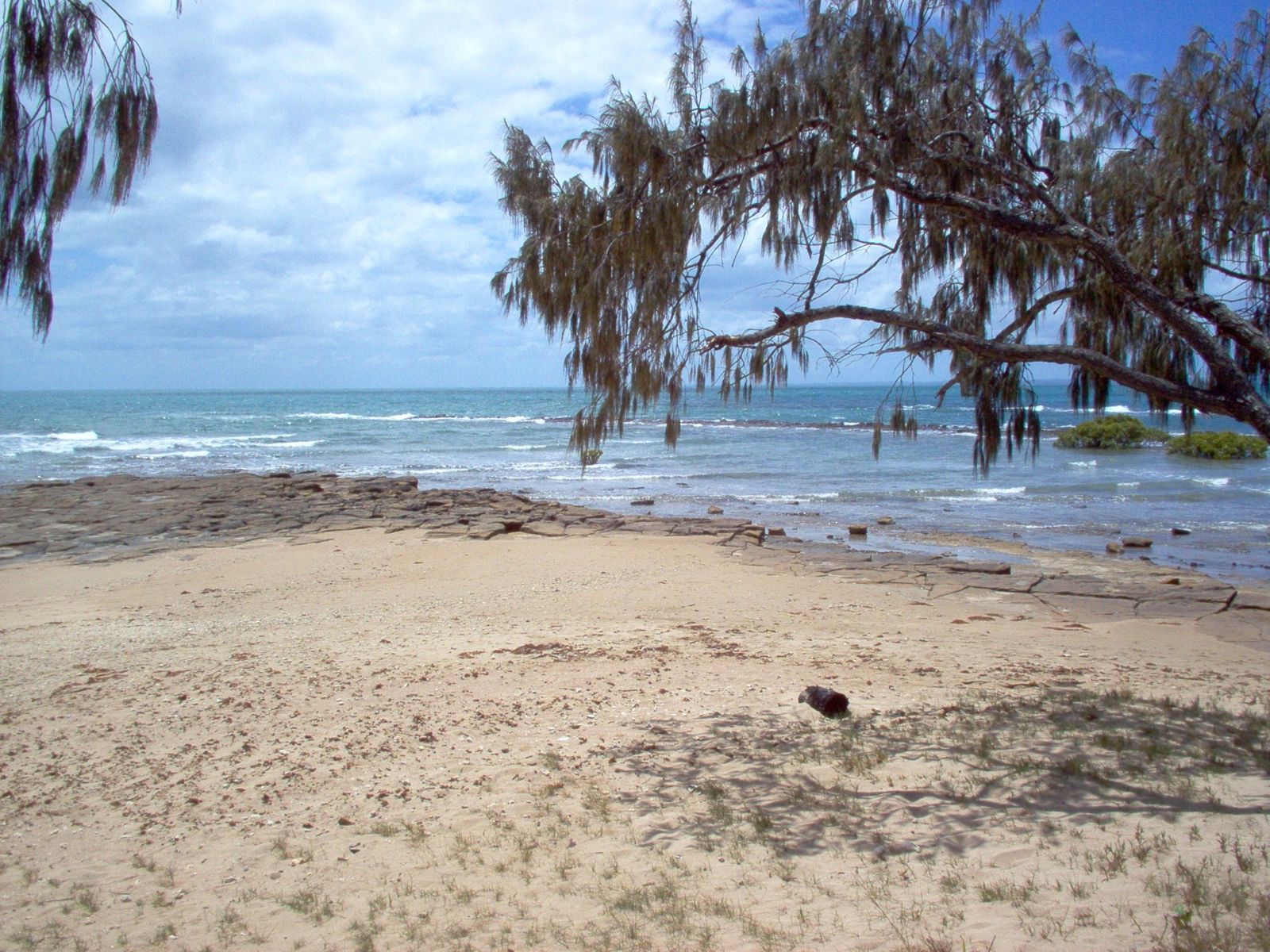 © L.Wadsworth at English Wikipedia
The spot
Community-maintained
Community contribution: submitted by Daniel
Know before you go
Logged by the community, confirmed by mods
Low risk: Tidal rock pools - slippery rocks
Intertidal rock pools have slick, algae-covered rocks that can cause slips and cuts.
Low risk: Outgoing tide current at Gatakers Bay
Water moving out through the bay can create a moderate current near the reef ledge.
Low risk: Bluebottle jellyfish
Bluebottles (Physalia physalis) can drift into the bay, particularly during northerly winds from October to May.
Wildlife Guide
No wildlife notes for this spot yet.
Gallery
3 photos from the community
Getting in
Shore entry
Entry
From Hervey Bay, head north along the Esplanade toward Point Vernon. Turn into ESA Park (corner of Esplanade and Mant Street) for direct beach access to Vernon Beach. Gatakers Bay is a short walk north along the foreshore.
Parking & facilities
ESA Park offers ample off-street parking. Additional parking is available along the Point Vernon foreshore.
toiletsparkingdrinking_waterpicnic_tables
Free entry. No fees for beach or snorkeling access.
Spot Map
Community
Gallery ┬╖ 3 photos
Trust
Is this spot real, accurate, still loved?
Spots near Queensland

No nearby spots yet.
Needs verification
Quick verify
One tap helps the community keep this spot honest.
About this data
- Conditions last evaluated
- Spot data last updated
- Data sources
- Open-Meteo (marine & weather conditions), tide predictions via UTide, community contributors (descriptions, hazards, marine life).
- License
- Spot content licensed under CC BY-SA 4.0. How's the Spot is open source.
Weather & swell ┬╖ Open-Meteo marine & weather APIs Tides ┬╖ UTide harmonic analysis Sea & safety ┬╖ community reports