Venus Bay offers a sheltered, shallow bay on the remote Eyre Peninsula coastline of the Great Australian Bight. The centrepiece for snorkellers is the illuminated 100-metre curved jetty — a working commercial fishing pier whose pylons are encrusted with marine growth attracting schools of reef fish. The protected bay waters are calm for shore-entry swimming over sandy seabeds and seagrass patches, while the jetty itself provides an excellent platform to observe fish, squid, and the occasional eagle ray gliding beneath. With spectacular coastal scenery, dolphin and seal sightings from shore, and easy access from the adjacent car park and caravan park, Venus Bay is a quiet, uncrowded snorkel destination that captures the wild beauty of South Australia's west coast.
Venus Bay
Fair. Experienced snorkellers only.
Showing last known conditions
Last evaluated
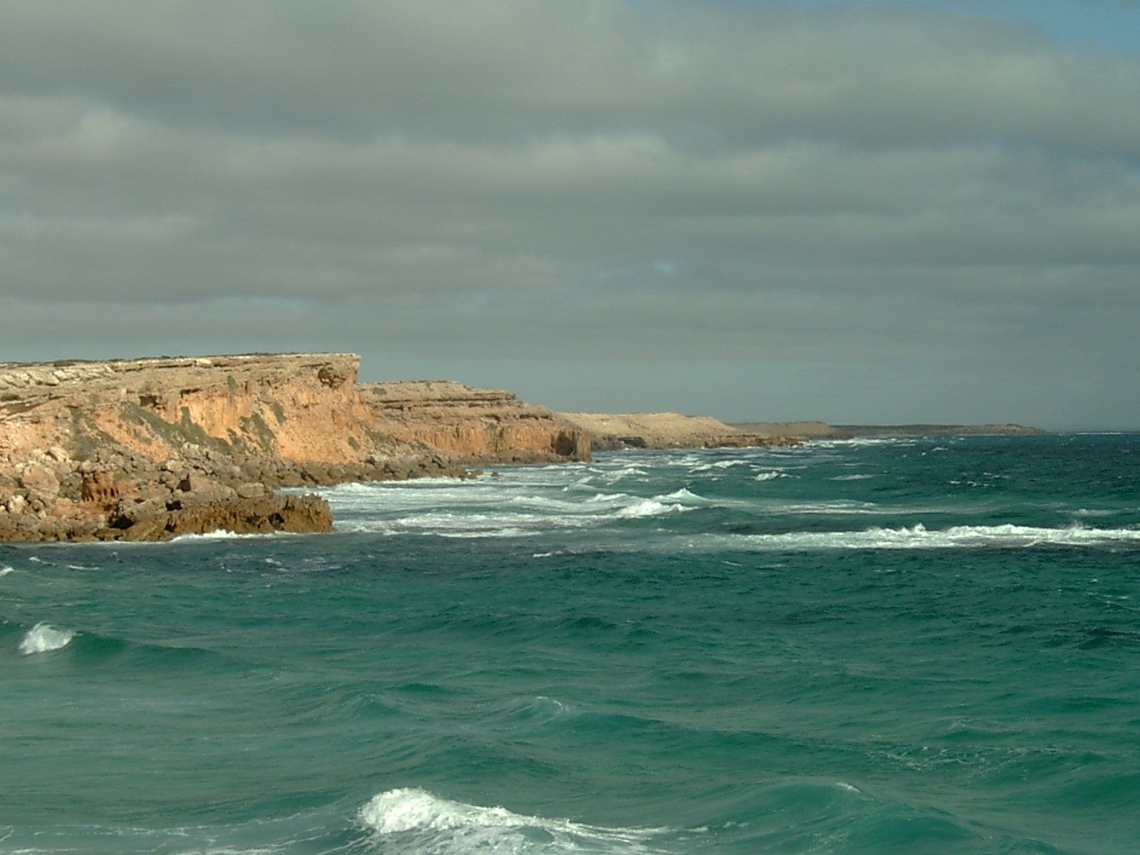
The spot
Community-maintained
Community contribution: submitted by Daniel
Know before you go
Logged by the community, confirmed by mods
Low risk: Commercial fishing boat traffic
The jetty is actively used by commercial fishing vessels — swimmers and snorkellers should be aware of boat traffic near the jetty and boat ramp.
Wildlife Guide
No wildlife notes for this spot yet.
Gallery
4 photos from the community
Getting in
Venus Bay is located on the Eyre Peninsula in South Australia, approximately 600 km west of Adelaide. Accessible via the Flinders Highway, turn off at the Venus Bay sign and follow Bay Road to the town and jetty area.
Free car parking is available near the jetty and boat ramp, with a fish cleaning station and access to the Dolly Graham Memorial playground.
No entry fee for the beach and jetty area. The Venus Bay Beachfront Tourist Park nearby offers accommodation with additional facilities for a fee.
Spot Map
Community
Trust
Is this spot real, accurate, still loved?
Spots near South Australia

No nearby spots yet.
Quick verify
One tap helps the community keep this spot honest.
About this data
- Conditions last evaluated
- Spot data last updated
- Data sources
- Open-Meteo (marine & weather conditions), tide predictions via UTide, community contributors (descriptions, hazards, marine life).
- License
- Spot content licensed under CC BY-SA 4.0. How's the Spot is open source.