Ukerebagh Passage is the tidal channel that flows between Ukerebagh Island and the Tweed Heads mainland, within the Ukerebagh Nature Reserve on the far north coast of NSW. This estuarine snorkel spot offers clear, calm waters at the mouth of the Tweed River, weaving through mangrove-lined banks and sandy shallows rich in subtropical marine life. The passage is best explored on an incoming or high tide when the water clarity peaks, revealing stingrays, bream, and occasional turtles drifting through the seagrass beds. The adjacent reserve protects a remnant coastal ecosystem and a culturally significant Minjungbal Aboriginal bora site.
Ukerebagh Passage
IntermediateGO
GO
It's a go.
Showing last known conditions
Wave Height 0.7 mSwell Period 7.6 sWind Speed 4.4 knPrecipitation 0.0 mmTidal Phase ebb
Last evaluated
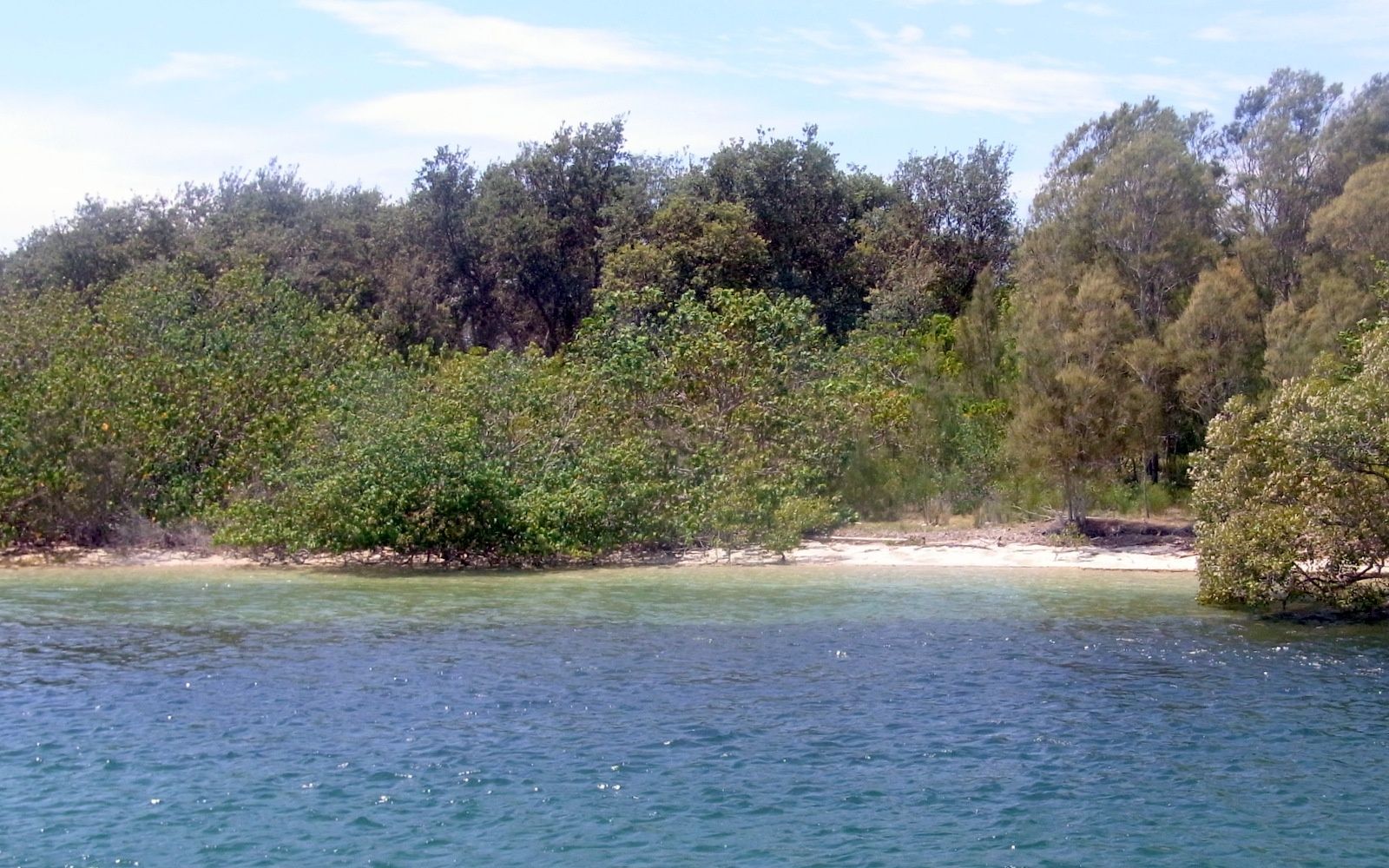 © Poyt448 Peter Woodard
The spot
Community-maintained
Community contribution: submitted by Daniel
Know before you go
Logged by the community, confirmed by mods
Moderate risk: Outgoing Tide Current
Strong tidal flow through the passage on an outgoing tide can sweep snorkelers towards the open ocean. Always snorkel on incoming or slack tide.
Moderate risk: Marine Stingers
Box jellyfish and Irukandji may be present in warmer months. Wear a stinger suit.
Low risk: Boat Traffic
The Tweed River mouth is navigated by fishing boats and recreational vessels. Stay vigilant and avoid the main channel.
Low risk: Muddy Substrate
The riverbed is silty and muddy in places, reducing visibility if stirred up. Careful finning is required.
Wildlife Guide
No wildlife notes for this spot yet.
Gallery
1 photo from the community
Getting in
Shore entry
Entry
Located on the southern side of the Tweed River mouth near Tweed Heads South, NSW. Access via the Ukerebagh Nature Reserve boardwalk off Wharf Street, Tweed Heads. The island itself is reachable on foot at low tide across the sandbar, or by kayak/canoe from the Tweed River boat ramp.
Parking & facilities
Limited street parking available along Wharf Street near the reserve entrance.
toiletsparkingpicnic_tables
No entry fee. Free access.
Spot Map
Community
Gallery ┬╖ 1 photos
Trust
Is this spot real, accurate, still loved?
Spots near New South Wales

No nearby spots yet.
Needs verification
Quick verify
One tap helps the community keep this spot honest.
About this data
- Conditions last evaluated
- Spot data last updated
- Data sources
- Open-Meteo (marine & weather conditions), tide predictions via UTide, community contributors (descriptions, hazards, marine life).
- License
- Spot content licensed under CC BY-SA 4.0. How's the Spot is open source.
Weather & swell ┬╖ Open-Meteo marine & weather APIs Tides ┬╖ UTide harmonic analysis Sea & safety ┬╖ community reports