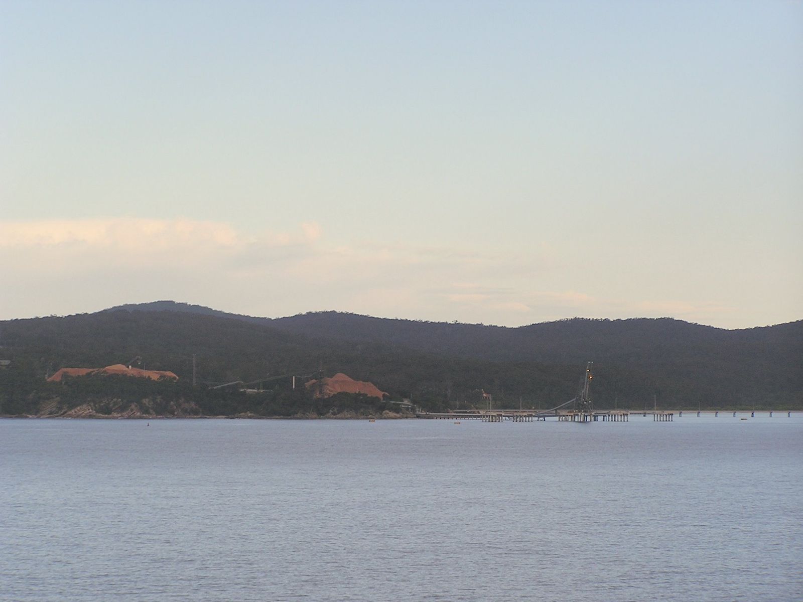
Twofold Bay, the third deepest natural harbour in the Southern Hemisphere, flanks the town of Eden on the NSW Sapphire Coast. Its pristine, sheltered waters encompass multiple entry points — from the ocean-fed rock pools and surf breaks at Aslings Beach to the tranquil shallows of Cocora Beach and Boydtown Beach along the Nullica River. The bay's deep-water port and historic wharf structures create artificial reefs teeming with marine life, while nearby caves and rock formations offer interesting topography for snorkellers to explore. Known for its exceptionally clean, clear waters, Twofold Bay is also a renowned whale-watching destination during migration season.
Twofold Bay (general dive/snorkel area)
BeginnerGO
GO
It's a go.
Showing last known conditions
Wave Height 0.6 mSwell Period 7.0 sWind Speed 0.2 knPrecipitation 4.6 mmTidal Phase ebb
Last evaluated
DANGER: Explicit Risks Present
Twofold Bay (general dive/snorkel area) has hazards marked as danger. Entering the water here means you may face serious risks to your personal safety.
- Commercial vessel traffic danger
Twofold Bay hosts a deep-water port with commercial shipping. Snorkelers must stay well clear of shipping lanes and avoid areas near the Port of Eden wharves.
The spot
Community-maintained
Community contribution: submitted by Daniel
Know before you go
Logged by the community, confirmed by mods
High risk: Commercial vessel traffic
Twofold Bay hosts a deep-water port with commercial shipping. Snorkelers must stay well clear of shipping lanes and avoid areas near the Port of Eden wharves.
Moderate risk: Boat traffic
Commercial shipping, cruise ships, Navy vessels and recreational boats operate in the port area of the bay; stay clear of shipping channels.
Moderate risk: Unpatrolled beaches
Most beaches in Twofold Bay are unpatrolled — no lifeguards. Only Aslings Beach has summer patrols.
Moderate risk: Strong Tidal Currents
As a deep natural harbour with significant tidal exchange, currents can be strong around the heads, the entrance, and near the Navy Wharf. Check tide charts before entering.
Moderate risk: Shallow entrance currents
The entrance to the sea at certain creek and lagoon entrances around the bay can be very shallow and dangerous, with strong outflow currents.
Moderate risk: Boat traffic in Port of Eden
Twofold Bay is a working deep-water harbour with commercial shipping, navy vessels and cruise ships. Snorkellers must stay clear of shipping channels and wharf areas.
Moderate risk: Confined cave swim-throughs
Cave and swim-through entrances can be narrow and require good buoyancy control; low visibility may disorient in enclosed spaces.
Moderate risk: Swell surge in caves
Swell surge can push divers into cave walls; calm seas (less than 1m) essential for safe cave penetration.
Moderate risk: Swell and rip currents
Ocean swells can push into the bay entrance and exposed beaches like Aslings Beach, creating strong rip currents, especially during southerly winds.
Moderate risk: Depth on wreck sites
The Tasman Hauler wreck sits at 20–25m depth and the Henry Bolte at 20–25m, beyond recreational snorkelling limits; these are scuba-dive only sites for certified divers.
Low risk: Cold water temperatures
Water temperatures can be cool year-round due to southerly currents; a wetsuit (3-5mm) is recommended.
Low risk: Rocky Reef & Cave Hazards
Offshore reefs and caves popular with divers present entanglement and disorientation risks for inexperienced snorkelers. Strong surge can push swimmers into sharp reef edges.
Low risk: Strong currents at headlands
Tidal currents can run strongly around the headlands and at the entrance to the bay, particularly during outgoing tides.
Low risk: Bluebottle Jellyfish
Bluebottle jellyfish can be present in warmer months.
Low risk: Changing Tidal Currents
Tidal flows through the bay entrance and around headlands can create unexpected currents, especially near entrance channels.
Low risk: Poor Visibility After Storms
Runoff from the Nullica River and surrounding catchment can reduce visibility drastically after heavy rainfall, particularly in autumn and winter.
Low risk: Variable depth transitions
Some cave sites have sudden depth changes from shallow (5m) to deep beyond 20m, risking rapid descent without proper weighting.
Low risk: Shark presence
Bull sharks and other sharks are occasionally sighted in the bay and estuarine areas, particularly near river mouths during warmer months.
Low risk: Cool water temperatures (winter/spring)
Water temperatures drop significantly from June to October, with conditions requiring a 7mm wetsuit or drysuit for comfort and safety.
Low risk: Variable visibility
While summer and autumn often see 20m+ visibility, winter and spring can bring reduced viz due to swell and run-off.
Low risk: Boat traffic in harbour
Twofold Bay is a working harbour with commercial and recreational vessel traffic; snorkellers and divers must maintain surface awareness and use a dive float.
Low risk: Variable currents
Tidal flows through the bay entrance and around the wharves can create moderate currents, particularly on outgoing tides.
Wildlife Guide
No wildlife notes for this spot yet.
Gallery
5 photos from the community
Getting in
Shore entry
Entry
Twofold Bay surrounds the town of Eden, NSW, approximately 500 km south of Sydney on the Princes Highway. Popular snorkelling entry points include Cocora Beach (Ida Rodd Drive, southern Eden), Aslings Beach (Aslings Beach Road, east of town centre), and Boydtown Beach (Boydtown Park Road, 8 km south of Eden).
Parking & facilities
Parking available at Aslings Beach (car park near the tidal pool), Cocora Beach (roadside parking on Ida Rodd Drive), Boydtown Beach (lagoon parking at both ends), and Bungo Beach (small car park off dirt track from Quarantine Bay).
toiletsparkingshowerspicnic_tables
No fees for beach access. Dive operators in Eden charge for boat-based excursions to wreck and reef sites.
Spot Map
Community
Gallery ┬╖ 5 photos
Trust
Is this spot real, accurate, still loved?
Spots near Victoria

No nearby spots yet.
Needs verification
Quick verify
One tap helps the community keep this spot honest.
About this data
- Conditions last evaluated
- Spot data last updated
- Data sources
- Open-Meteo (marine & weather conditions), tide predictions via UTide, community contributors (descriptions, hazards, marine life).
- License
- Spot content licensed under CC BY-SA 4.0. How's the Spot is open source.
Weather & swell ┬╖ Open-Meteo marine & weather APIs Tides ┬╖ UTide harmonic analysis Sea & safety ┬╖ community reports