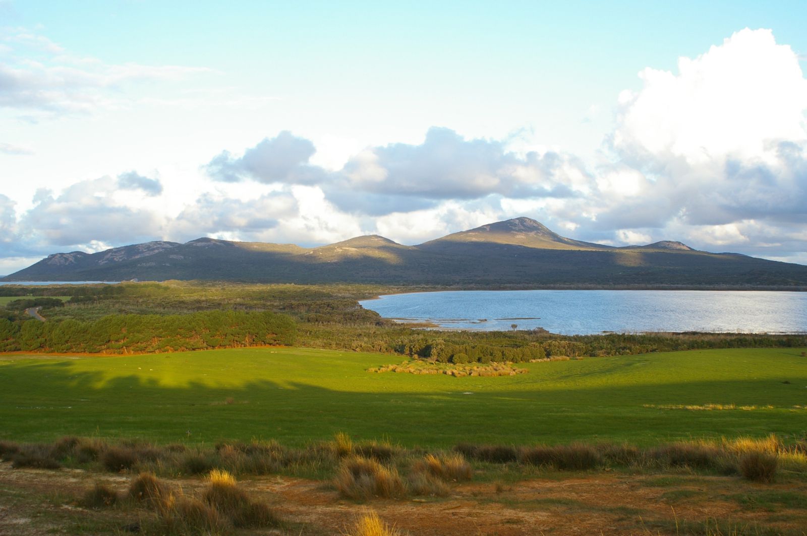
Two Peoples Bay Nature Reserve, 25 km northeast of Albany, shelters a stunning white-sand main beach framed by granite outcrops and turquoise waters. This internationally significant reserve — where the presumed-extinct noisy scrub-bird was rediscovered — offers protected swimming and snorkeling in a pristine setting. The calm, clear shallows gradually deepen over sandy seabeds, with rocky reef edges attracting fish life. Granite boulders at the beach ends provide structure for exploring marine life. Facilities include picnic tables, BBQs, toilets, and a boat ramp, making this a perfect day-trip destination for families and snorkelers seeking a wild, unspoilt stretch of Western Australia's Rainbow Coast.
Two Peoples Bay (Main Beach)
BeginnerGO
GO
It's a go.
Showing last known conditions
Wave Height 0.1 mSwell Period 9.9 sWind Speed 1.9 knPrecipitation 5.3 mmTidal Phase ebb
Last evaluated
The spot
Community-maintained
Community contribution: submitted by Daniel
Know before you go
Logged by the community, confirmed by mods
Moderate risk: Strong undertow and rip currents
Strong undertows and rips are present on the right side of the main beach, capable of pulling swimmers out to sea.
Moderate risk: Ocean surges
The ocean can be unpredictable with sudden surges even during calm conditions. Stay vigilant when close to the water's edge.
Low risk: Swell exposure
The bay can experience moderate swell depending on weather, creating variable conditions outside the sheltered swimming area.
Low risk: Changing tides
Tidal movement can affect water depth and current strength in the swimming area, particularly on outgoing tides.
Low risk: Slippery granite rocks
Granite outcrops bordering the beach can be extremely slippery when wet. Exercise caution when walking on or near them.
Low risk: Strong afternoon sea breezes
Summer sea breezes can pick up rapidly in the afternoon, stirring surface conditions for beginners.
Wildlife Guide
No wildlife notes for this spot yet.
Gallery
3 photos from the community
Getting in
Shore entry
Entry
Located approximately 25 km northeast of Albany via Nanarup Road and Lower King Road. The drive crosses the Kalgan River at the north end of Oyster Harbour, roughly halfway to the bay.
Parking & facilities
Car park available a short walk from the beach, picnic area, and visitor centre.
toiletsparkingpicnic_tablesboat_ramp
National park entry fees may apply. Check with Parks and Wildlife Service WA for current fees.
Spot Map
Community
Gallery ┬╖ 3 photos
Trust
Is this spot real, accurate, still loved?
Spots near Western Australia

No nearby spots yet.
Needs verification
Quick verify
One tap helps the community keep this spot honest.
About this data
- Conditions last evaluated
- Spot data last updated
- Data sources
- Open-Meteo (marine & weather conditions), tide predictions via UTide, community contributors (descriptions, hazards, marine life).
- License
- Spot content licensed under CC BY-SA 4.0. How's the Spot is open source.
Weather & swell ┬╖ Open-Meteo marine & weather APIs Tides ┬╖ UTide harmonic analysis Sea & safety ┬╖ community reports