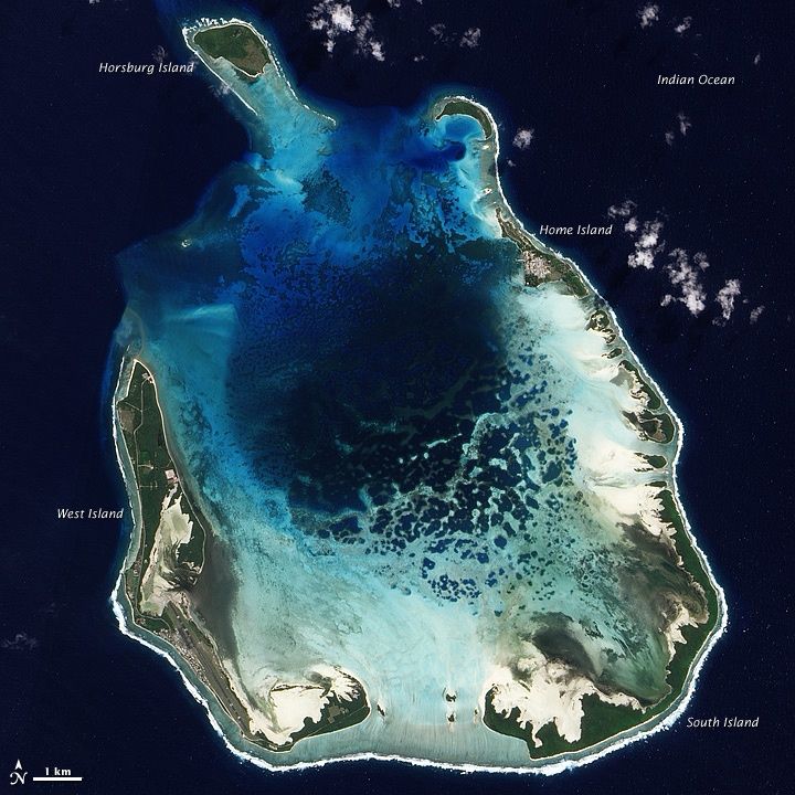
Turks Reef lies at the northern edge of the Cocos (Keeling) Islands' outer reef system, a remote and pristine coral reef drop-off in the Indian Ocean. Accessed only by boat tour, this spot offers exceptional snorkelling over healthy coral gardens where the reef wall plunges into deeper water. The isolated location means crystal-clear visibility, abundant fish life, and minimal crowds — a true wilderness snorkelling experience at the far northern rim of the atoll.
Turks Reef
IntermediateGO
GO
It's a go.
Showing last known conditions
Wave Height 0.6 mSwell Period 6.8 sWind Speed 9.8 knPrecipitation 6.5 mmTidal Phase ebb
Last evaluated
The spot
Community-maintained
Community contribution: submitted by Daniel
Know before you go
Logged by the community, confirmed by mods
Moderate risk: Outer reef currents
Turks Reef is on the outer reef edge where currents can be strong, especially during tidal changes. Snorkelers should be confident swimmers.
Low risk: Remote location – boat access only
The reef is remote with no immediate shore access; boat-assisted snorkelling is required.
Low risk: Sharp coral
Sharp coral and rocky reef edges are present at the drop-off zone.
Wildlife Guide
No wildlife notes for this spot yet.
Gallery
1 photo from the community
Getting in
Snorkel tour
Entry
Turks Reef is located at the northern end of the Cocos (Keeling) Islands' outer reef, reachable via guided boat tours from West Island. Local operators such as Cocosday (motorised canoe tours) and Cocos Blue Charters run snorkel trips to this spot.
Parking & facilities
Parking available at the West Island jetty/visitor centre area where tours depart.
parking
Tours are required to reach Turks Reef; enquire with local operators on West Island for pricing.
Spot Map
Community
Gallery ┬╖ 1 photos
Trust
Is this spot real, accurate, still loved?
Nearby spots

No nearby spots yet.
Needs verification
Quick verify
One tap helps the community keep this spot honest.
About this data
- Conditions last evaluated
- Spot data last updated
- Data sources
- Open-Meteo (marine & weather conditions), tide predictions via UTide, community contributors (descriptions, hazards, marine life).
- License
- Spot content licensed under CC BY-SA 4.0. How's the Spot is open source.
Weather & swell ┬╖ Open-Meteo marine & weather APIs Tides ┬╖ UTide harmonic analysis Sea & safety ┬╖ community reports