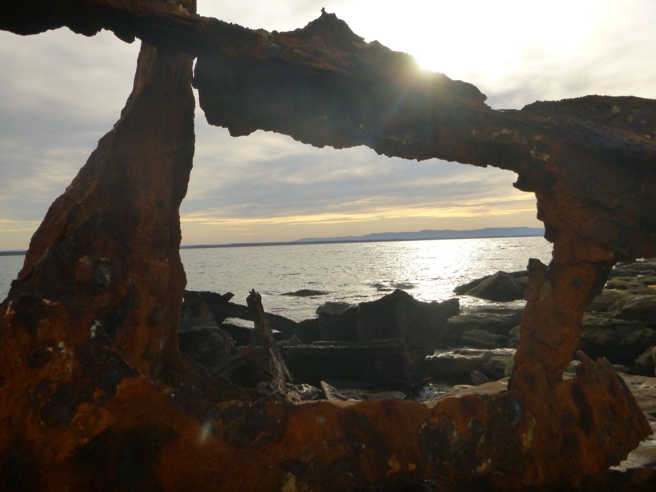
The TSS Merimbula wreck offers a fascinating shallow-water dive and snorkel site at Whale Point on the Beecroft Peninsula near Currarong, just north of Jervis Bay. This 73-metre twin-screw steamship ran aground on the rocks in 1928 during a storm, with no lives lost. Today, twisted hull plates, two massive triple-expansion steam engines lying where they fell, boilers, propeller shafts, and scattered machinery lie scattered across a rocky reef in just 4–13 metres of water. The bow section is still perched on the rocks, while the rest slopes away north-north-east onto sand. A declared historic wreck, it's easily accessible from the Bosom Beach walking track and rewards snorkelers with an up-close look at a piece of NSW maritime history.
TSS Merimbula (wreck)
IntermediateGO
GO
It's a go.
Showing last known conditions
Wave Height 0.6 mSwell Period 7.0 sWind Speed 2.7 knPrecipitation 0.0 mmTidal Phase ebb
Last evaluated
The spot
Community-maintained
Community contribution: submitted by Daniel
Know before you go
Logged by the community, confirmed by mods
Moderate risk: Rough seas and swell
The wreck lies on an exposed rocky reef that can be hit by significant swell, especially from the east. Best dived/snorkelled in calm conditions only.
Moderate risk: Sharp metal and debris
The wreckage is heavily corroded with sharp, jagged metal edges, exposed bolts, and twisted plates that can cause cuts.
Moderate risk: Shallow reef with jagged rocks
The wreckage is spread across a steeply shelving reef with sharp rocks and exposed metal wreckage that can cause serious cuts and scrapes.
Low risk: Rocky reef terrain
Uneven rocky bottom with the wreck embedded on a reef. Poor finning technique can stir up sediment or cause injury on the rocks.
Low risk: Variable depth changes
Depth ranges dramatically from exposed bow section on the rocks (0m) to 13m at the stern. Snorkelers need to be mindful of sudden depth changes and currents near the reef edge.
Low risk: Unpredictable currents
Tidal currents around Whale Point can be strong and unpredictable, particularly around the reef edge where the stern section lies on sand.
Wildlife Guide
No wildlife notes for this spot yet.
Gallery
3 photos from the community
Getting in
Shore entry
Entry
From Currarong, follow Abrahams Bosom Road to its end at the Bosom Beach carpark. Take the coastal walking track towards Whale Point (signposted to the SS Merimbula wreck) — a short 10–15 minute walk north along the headland. The wreck is visible in the shallows below the point.
Parking & facilities
Limited roadside parking at the end of Abrahams Bosom Road near Bosom Beach, Currarong. Arrive early on busy weekends.
parking
No fees required.
Spot Map
Community
Gallery ┬╖ 3 photos
Trust
Is this spot real, accurate, still loved?
Spots near New South Wales

No nearby spots yet.
Needs verification
Quick verify
One tap helps the community keep this spot honest.
About this data
- Conditions last evaluated
- Spot data last updated
- Data sources
- Open-Meteo (marine & weather conditions), tide predictions via UTide, community contributors (descriptions, hazards, marine life).
- License
- Spot content licensed under CC BY-SA 4.0. How's the Spot is open source.
Weather & swell ┬╖ Open-Meteo marine & weather APIs Tides ┬╖ UTide harmonic analysis Sea & safety ┬╖ community reports