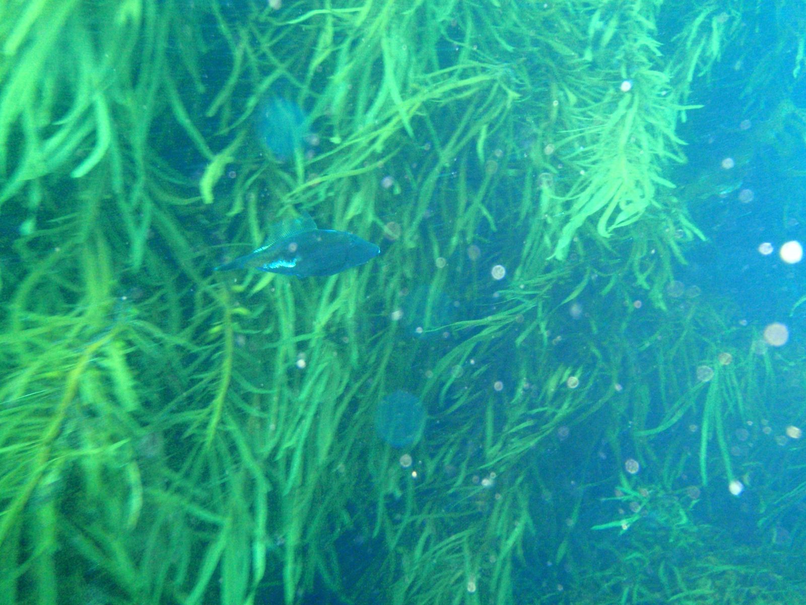
Trap Reef is a celebrated temperate dive and snorkel site off Bicheno on Tasmania's east coast, known for its layered granite reef structure that drops gradually into deeper water. The site offers rich diversity of temperate marine life across multiple depth zones, with boulders, gutters, and ledges draped in kelp and colourful sponge gardens. Clear winter visibility makes it a favourite for underwater photographers.
Trap Reef
IntermediateGO
GO
It's a go.
Showing last known conditions
Wave Height 0.8 mSwell Period 6.8 sWind Speed 0.8 knPrecipitation 2.0 mmTidal Phase ebb
Last evaluated
 © Peter Southwood
The spot
Community-maintained
Community contribution: submitted by Daniel
Know before you go
Logged by the community, confirmed by mods
Moderate risk: Swell exposure
The reef is exposed to easterly swells. Large surf or strong swell can make entry/exit dangerous.
Low risk: Cold water temperature
Temperate Tasmanian waters — winter temps can drop to 12°C. A full wetsuit (5-7mm) or drysuit recommended.
Low risk: Variable visibility
Visibility fluctuates with swell and plankton blooms. Best in winter (June-August) when water is clearest.
Low risk: Rocky shore entry
Entry is over slippery, uneven granite boulders. Care needed when donning fins and entering water.
Wildlife Guide
No wildlife notes for this spot yet.
Gallery
5 photos from the community
Getting in
Shore entry
Entry
Located near Bicheno on Tasmania's east coast. From the Bicheno town centre, head south along the coast road toward the Bicheno Blowhole area. The reef is accessed from a rocky shoreline entry point; local dive shops (e.g., Bicheno Dive Centre) can provide precise access directions.
Parking & facilities
Limited roadside parking available near the access point along the coastal road in Bicheno.
parking
No entry fee. Snorkel tours or guided dives may incur charges if booked through local operators.
Spot Map
Community
Gallery ┬╖ 5 photos
Trust
Is this spot real, accurate, still loved?
Spots near Tasmania

No nearby spots yet.
Needs verification
Quick verify
One tap helps the community keep this spot honest.
About this data
- Conditions last evaluated
- Spot data last updated
- Data sources
- Open-Meteo (marine & weather conditions), tide predictions via UTide, community contributors (descriptions, hazards, marine life).
- License
- Spot content licensed under CC BY-SA 4.0. How's the Spot is open source.
Weather & swell ┬╖ Open-Meteo marine & weather APIs Tides ┬╖ UTide harmonic analysis Sea & safety ┬╖ community reports