Toora Beach sits on the sheltered shores of Corner Inlet, a Ramsar-listed wetland of international significance that forms the western edge of Wilson Promontory National Park. This shallow, calm inlet offers gentle snorkelling conditions protected from the open ocean swell. Snorkellers can explore seagrass meadows and sandy-bottom habitats that host a surprising diversity of life. The backdrop of rolling green hills and views across to the Prom make this a wonderfully scenic — if lesser-known — spot in South Gippsland for a relaxed paddle and snorkel.
Toora
BeginnerMAYBE
MAYBE
Fair. Experienced snorkellers only.
Showing last known conditions
Wave Height 0.1 mSwell Period 6.2 sWind Speed 4.1 knPrecipitation 25 mmTidal Phase flood
Last evaluated
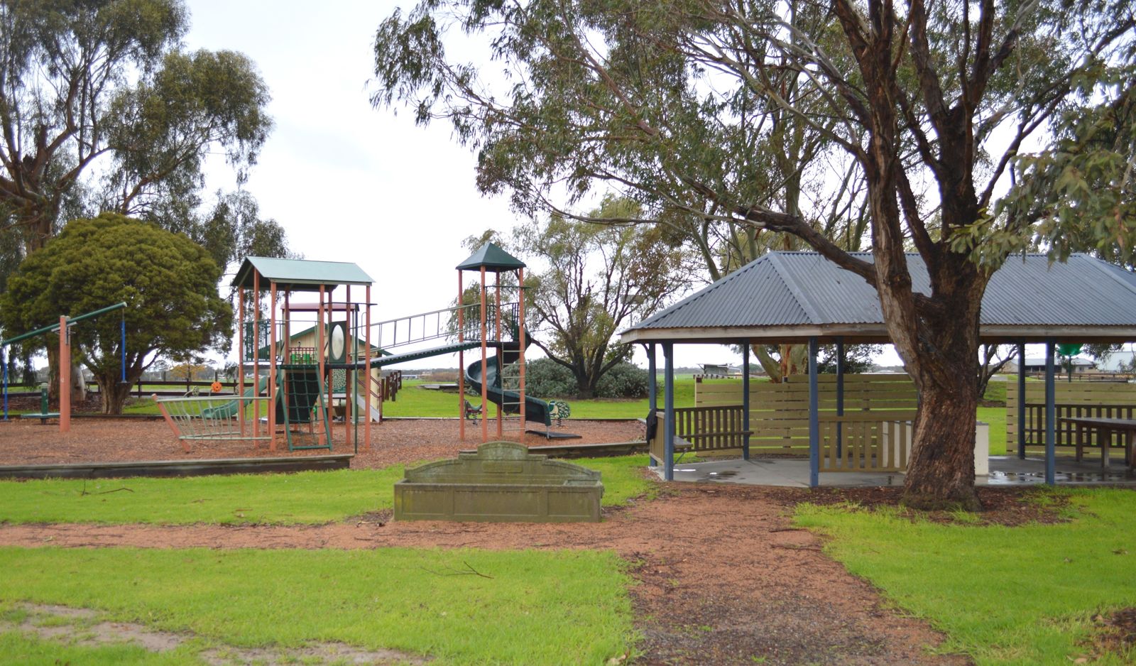 © Mattinbgn
The spot
Community-maintained
Community contribution: submitted by Daniel
Know before you go
Logged by the community, confirmed by mods
Low risk: Strong currents in inlet channels
Tidal currents can develop in the deeper channels of Corner Inlet, particularly on outgoing tides.
Low risk: Shallow water
Large areas of Corner Inlet are very shallow; care needed to avoid contact with seafloor debris.
Low risk: Marine stingers
Bluebottles and other jellyfish may be present in warmer months (November to March).
Wildlife Guide
No wildlife notes for this spot yet.
Gallery
2 photos from the community
Getting in
Shore entry
Entry
Toora is reached via the South Gippsland Highway, about 2 hours southeast of Melbourne. Toora Beach is located off Whitelaw Street on the foreshore of Corner Inlet. Look for the Toora Foreshore Reserve signs near the caravan park.
Parking & facilities
Limited car parking is available near the Toora Foreshore Reserve on Whitelaw Street, close to the beach access point.
toiletsparkingpicnic_tables
No fees required. Free day-use area.
Spot Map
Community
Gallery ┬╖ 2 photos
Trust
Is this spot real, accurate, still loved?
Spots near Victoria

No nearby spots yet.
Needs verification
Quick verify
One tap helps the community keep this spot honest.
About this data
- Conditions last evaluated
- Spot data last updated
- Data sources
- Open-Meteo (marine & weather conditions), tide predictions via UTide, community contributors (descriptions, hazards, marine life).
- License
- Spot content licensed under CC BY-SA 4.0. How's the Spot is open source.
Weather & swell ┬╖ Open-Meteo marine & weather APIs Tides ┬╖ UTide harmonic analysis Sea & safety ┬╖ community reports