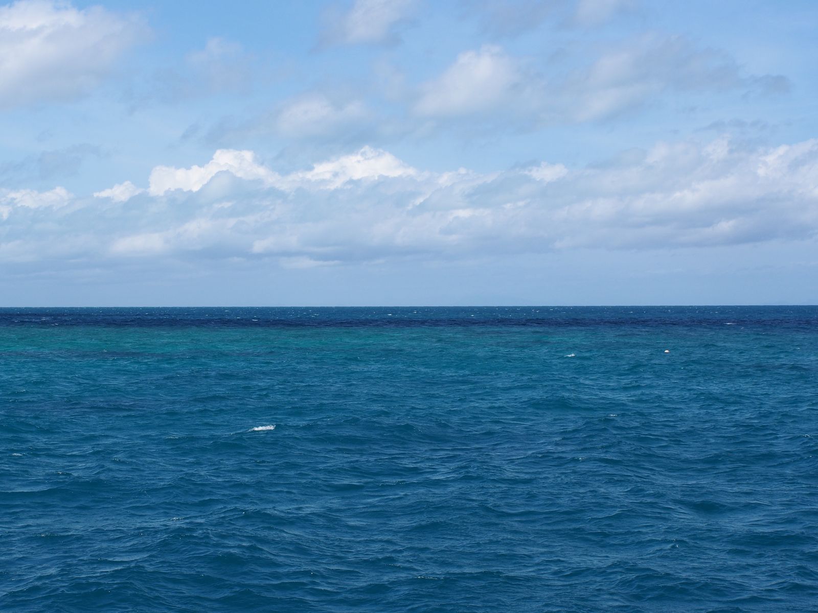
Tongue Reef is a stunning outer Great Barrier Reef site about 50 km northeast of Port Douglas, where shallow waters of just 3–4 metres let snorkelers drift over vibrant bommies (coral outcrops) and along gentle walls. This reef is a favourite for its calm, protected conditions and dazzling array of coral formations — boulder corals, staghorn thickets, and fan corals — all teeming with colourful fish. Being part of the outer reef system, water clarity is often excellent, offering a quintessential Great Barrier Reef experience away from the inner-shelf crowds.
Tongue Reef
BeginnerGO
GO
It's a go.
Showing last known conditions
Wave Height 0.2 mSwell Period 6.0 sWind Speed 8.4 knPrecipitation 3.4 mmTidal Phase flood
Last evaluated
 © rheins
The spot
Community-maintained
Community contribution: submitted by Daniel
Know before you go
Logged by the community, confirmed by mods
Moderate risk: Stinger season (marine stingers)
Stinging jellyfish (including box jellyfish and Irukandji) may be present in warmer months, particularly November to May.
Low risk: Tidal currents
Changing tidal flows can create unexpected currents around the reef bommies and walls. Best visited on a guided tour that monitors tide conditions.
Low risk: Shallow coral bommies
Sharp coral bommies are close to the surface (3–4 m). Snorkelers must be careful not to touch or stand on coral to avoid injury and protect the reef.
Wildlife Guide
No wildlife notes for this spot yet.
Gallery
1 photo from the community
Getting in
Snorkel tour
Entry
Tongue Reef is located approximately 50 km northeast of Port Douglas, Queensland. Access is exclusively by commercial snorkel/dive tour boat departing from Port Douglas marina (about 1 hour drive north of Cairns).
Parking & facilities
Paid parking available at Port Douglas marina precinct. Arrive early for the best spots.
toilets
Accessible only via paid tour operators; day trips typically range from $150–$250 AUD per person including snorkel gear, lunch, and reef guide.
Spot Map
Community
Gallery ┬╖ 1 photos
Trust
Is this spot real, accurate, still loved?
Spots near Queensland

No nearby spots yet.
Needs verification
Quick verify
One tap helps the community keep this spot honest.
About this data
- Conditions last evaluated
- Spot data last updated
- Data sources
- Open-Meteo (marine & weather conditions), tide predictions via UTide, community contributors (descriptions, hazards, marine life).
- License
- Spot content licensed under CC BY-SA 4.0. How's the Spot is open source.
Weather & swell ┬╖ Open-Meteo marine & weather APIs Tides ┬╖ UTide harmonic analysis Sea & safety ┬╖ community reports