Part of the Mackerel Islands chain off the Pilbara coast near Onslow, Thevenard Island is a low-lying sandy cay surrounded by a protective fringe reef teeming with marine life. Snorkel straight from the beach over vibrant coral bombies and gardens, where turtles, crayfish, tropical reef fish, and colourful corals are easily accessible. The island's seclusion, crystal-clear waters, and easy shore access make it a top-tier snorkel destination in the remote Pilbara.
Thevenard Island
BeginnerGO
GO
It's a go.
Showing last known conditions
Wave Height 0.2 mSwell Period 3.6 sWind Speed 3.7 knPrecipitation 0.0 mmTidal Phase flood
Last evaluated
The spot
Community-maintained
Community contribution: submitted by Daniel
Know before you go
Logged by the community, confirmed by mods
Low risk: Low tide exposure
Low tides can expose shallow reef areas, reducing snorkeling depth and access to some coral bommies.
Low risk: Marine stingers
Box jellyfish and other marine stingers may be present in warmer months (November to May). Protective stinger suits recommended.
Low risk: Sun exposure
Intense Pilbara sun with very high UV index year-round; sun protection essential.
Wildlife Guide
No wildlife notes for this spot yet.
Gallery
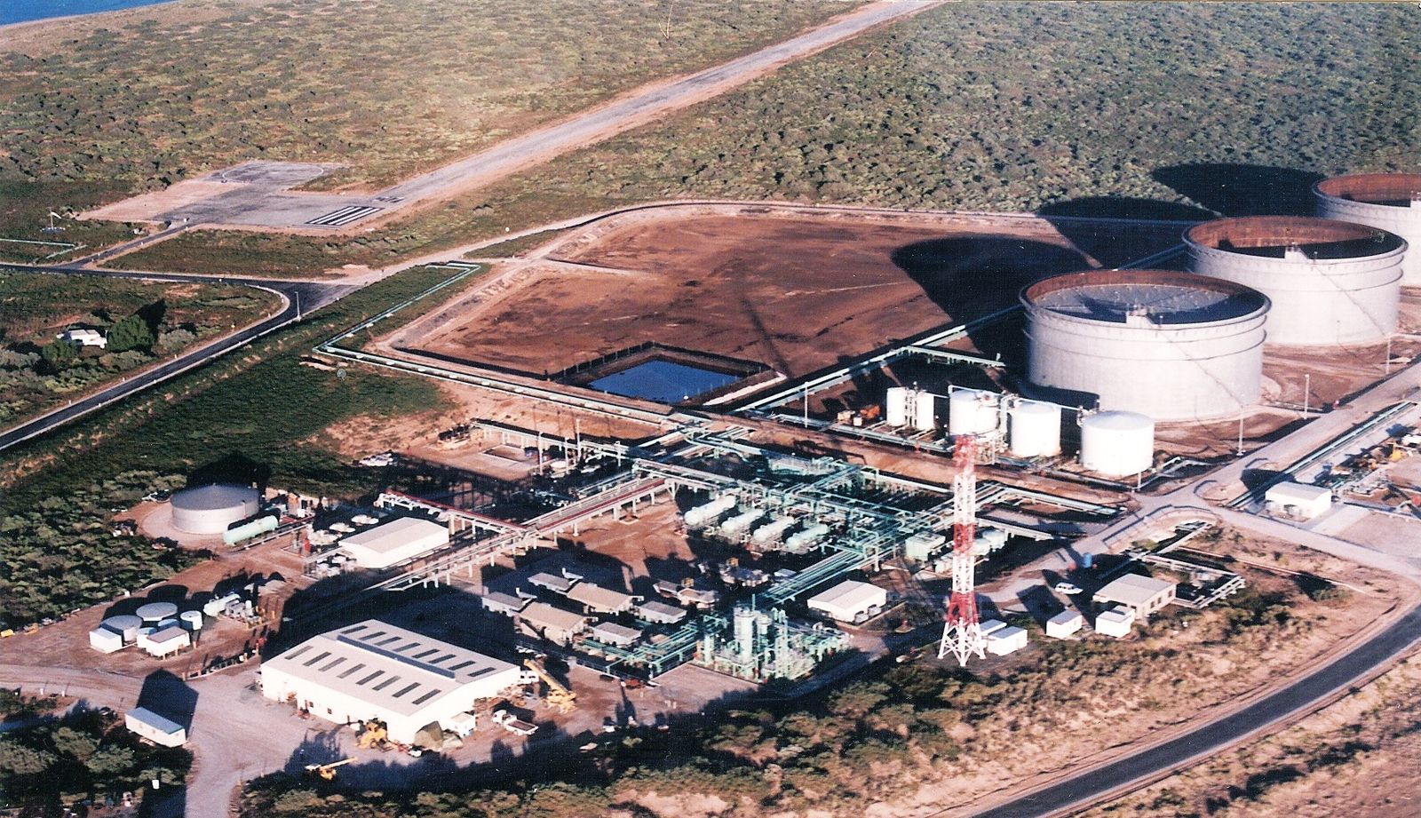
1 photo from the community
Getting in
Boat
Entry
Thevenard Island is 22 km off the Onslow coast, accessible by a 45-minute ferry or private boat from Beadon Creek, Onslow. A ferry service operates twice weekly. Visitors with a recreational skipper's license can hire plaka boats from the island.
Parking & facilities
Secure parking available at Beadon Creek in Onslow — approximately $25 per day for cars, $30 for caravans/trailers.
toiletsshowersdrinking_water
Accommodation from $140/night (double). Snorkel gear hire $10/day. Ferry fees apply. Mooring hire available for private boats.
Spot Map
Community
Gallery ┬╖ 1 photos
Trust
Is this spot real, accurate, still loved?
Spots near Western Australia

No nearby spots yet.
Needs verification
Quick verify
One tap helps the community keep this spot honest.
About this data
- Conditions last evaluated
- Spot data last updated
- Data sources
- Open-Meteo (marine & weather conditions), tide predictions via UTide, community contributors (descriptions, hazards, marine life).
- License
- Spot content licensed under CC BY-SA 4.0. How's the Spot is open source.
Weather & swell ┬╖ Open-Meteo marine & weather APIs Tides ┬╖ UTide harmonic analysis Sea & safety ┬╖ community reports