The Steps is a renowned snorkeling and diving site along Tasmania's stunning Bay of Fires coastline near Binalong Bay. Named for the natural stepped granite boulder formations that descend into crystal-clear turquoise waters, this site offers a sheltered, shallow entry over smooth rocks into a protected marine environment. Surrounded by striking orange-lichen-covered granite boulders and white sandy patches, the underwater terrain is a mix of rocky reef, kelp gardens, and sandy gutters. The site is popular with both snorkelers and divers thanks to its easy shore access, calm conditions in good weather, and the vibrant temperate marine community that thrives in this part of northeast Tasmania.
The Steps
BeginnerGO
GO
It's a go.
Showing last known conditions
Wave Height 0.8 mSwell Period 6.8 sWind Speed 1.5 knPrecipitation 3.1 mmTidal Phase ebb
Last evaluated
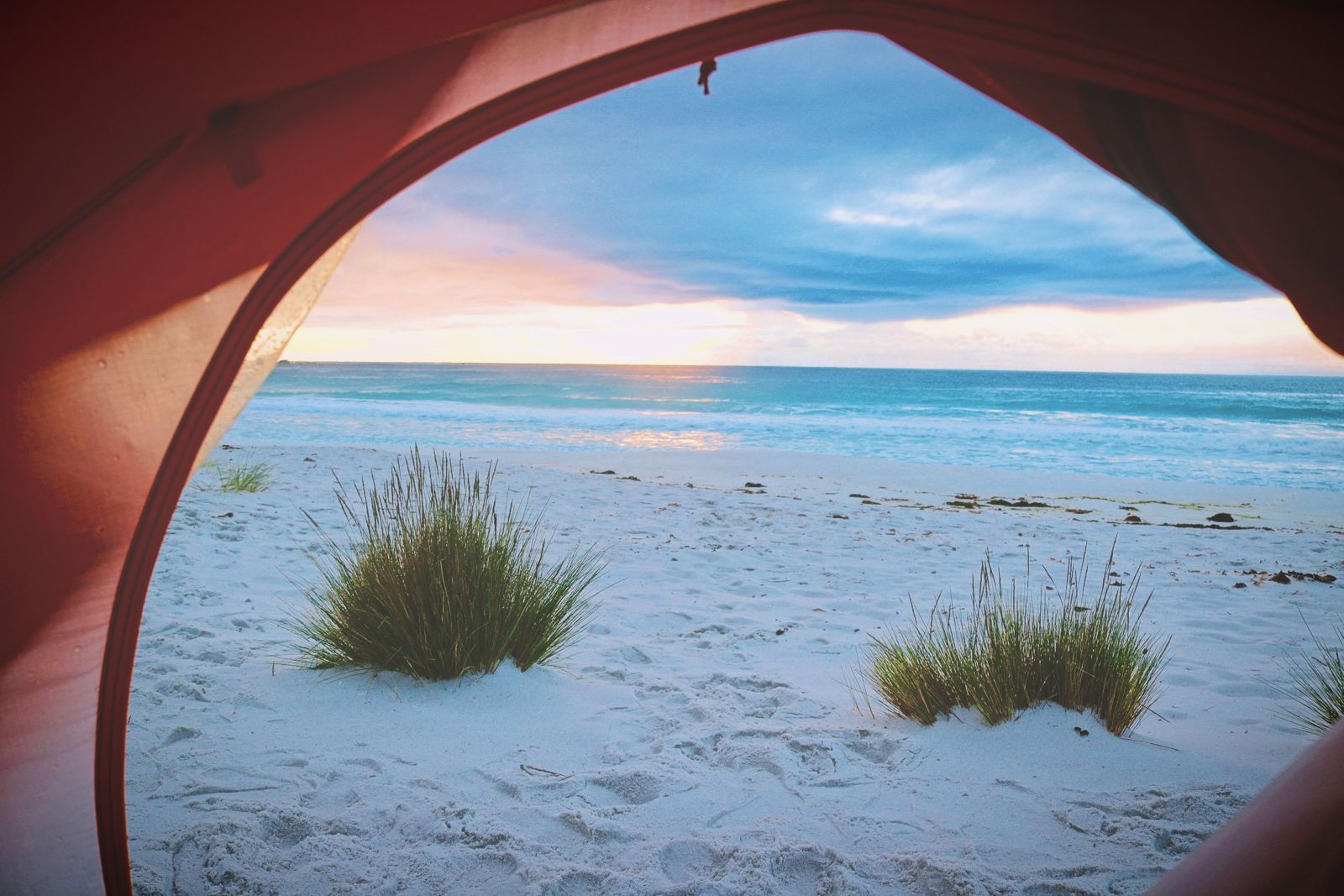
The spot
Community-maintained
Community contribution: submitted by Daniel
Know before you go
Logged by the community, confirmed by mods
Moderate risk: Cold water temperatures
Tasmanian sea temperatures are cool year-round, typically ranging 12–18°C, increasing the risk of cold-water shock and hypothermia without proper wetsuit protection.
Low risk: Rocky reef and submerged boulders
Granite boulders and reef formations are common just below the surface, especially around the Gulch and rock pools. Watch for sharp edges and uneven footing.
Low risk: Swell and surf conditions
The open coastline can experience sudden swells, particularly in southerly or easterly winds, creating choppy conditions for snorkellers.
Low risk: Changing tides at the Gulch
The Gulch area can experience tidal currents that shift conditions rapidly, affecting entry and exit points.
Low risk: Tidal currents near rock gullies
Strong currents can develop near the gullies and rock edges, especially on outgoing tides. Snorkelers should stay within the sheltered main beach area.
Low risk: Ocean swells
Southern Ocean swells can occasionally roll into the bay, creating moderate surf conditions that may affect water clarity and safety for less experienced snorkelers.
Low risk: Slippery granite boulders
Granite boulders can be slippery when wet. Care is needed when entering and exiting the water over rocky areas.
Low risk: Surge at boat ramp
The nearby boat ramp and landing stage are affected by surge in most weather conditions, making entry and exit tricky.
Low risk: Tidal movement
The gulch is best at high tide; low tide exposes rocks and reduces swim-able area. Incoming/outgoing currents can be felt near the gulch mouth.
Low risk: Outgoing tide current
The tidal gutters can develop a noticeable outgoing current as water drains from the shore, which may pull weaker swimmers seaward. Best snorkelled on the incoming or high tide.
Low risk: Slippery boulders
Granite boulders surrounding the gutters are often encrusted with algae and lichen, becoming extremely slippery when wet. Take care entering and exiting the water.
Low risk: Sea urchins
Rocky areas adjacent to the sandy gutters may harbour sea urchins. Avoid barefoot contact with submerged rocks.
Low risk: Sharp barnacles and boulders
Granite boulders and rocky shelves are present along the edges of the cove and in the tidal pools; sharp barnacles may be exposed at low tide.
Low risk: Slippery granite rocks
The stepped granite boulders at the entry can be extremely slippery when wet, requiring careful footing.
Low risk: Swell surge
Ocean swell can push snorkelers onto the rocky reef; best visited on calm, low-swell days.
Wildlife Guide
No wildlife notes for this spot yet.
Gallery
3 photos from the community
Getting in
Shore entry
Entry
From Binalong Bay, follow the Bay of Fires coastal road (Gardens Road) north past the main beach. The Steps is located within the Bay of Fires Conservation Area, easily identified by the distinctive stepped rock formations along the shoreline. Parking is available at a small pull-off near the site.
Parking & facilities
Limited roadside parking off Gardens Road near the site; arrive early in peak season.
parkingtoilets
No entry fee; part of the Bay of Fires Conservation Area (no day pass required).
Spot Map
Community
Gallery ┬╖ 3 photos
Trust
Is this spot real, accurate, still loved?
Spots near Tasmania

No nearby spots yet.
Needs verification
Quick verify
One tap helps the community keep this spot honest.
About this data
- Conditions last evaluated
- Spot data last updated
- Data sources
- Open-Meteo (marine & weather conditions), tide predictions via UTide, community contributors (descriptions, hazards, marine life).
- License
- Spot content licensed under CC BY-SA 4.0. How's the Spot is open source.
Weather & swell ┬╖ Open-Meteo marine & weather APIs Tides ┬╖ UTide harmonic analysis Sea & safety ┬╖ community reports