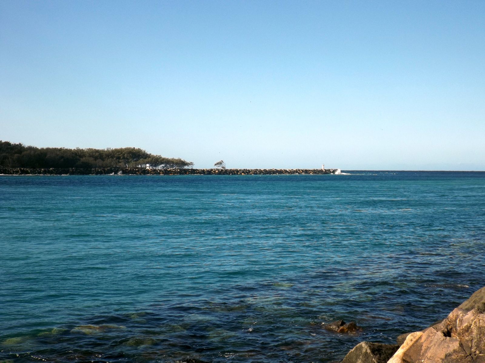
The Spit's Rock Wall forms the south arm of the Gold Coast Seaway, where the Broadwater meets the Pacific Ocean. This human-made boulder wall has become a thriving artificial reef teeming with fish — hundreds of tropical and pelagic species gather along its submerged face. Entry is via dedicated stairs directly over the rocks, making it one of the most accessible shore snorkels in South East Queensland. With depths of 5–7 metres, the wall offers clear views of schooling fish, rays, and occasional gropers. The site is best enjoyed at slack high tide for optimal visibility and minimal current. Snorkellers must stay close to the wall and avoid the middle channel where boat traffic and strong tidal flows create danger.
The Spit - The Rock Wall
IntermediateGO
GO
It's a go.
Showing last known conditions
Wave Height 0.1 mSwell Period 7.4 sWind Speed 1.3 knPrecipitation 0.2 mmTidal Phase ebb
Last evaluated
 © Shiftchange
DANGER: Explicit Risks Present
The Spit - The Rock Wall has hazards marked as danger. Entering the water here means you may face serious risks to your personal safety.
- Stonefish danger
Camouflaged stonefish are known to shelter under objects on the sandy bottom near the sand pipe. Avoid touching anything unseen.
The spot
Community-maintained
Community contribution: submitted by Daniel
Know before you go
Logged by the community, confirmed by mods
High risk: Stonefish
Camouflaged stonefish are known to shelter under objects on the sandy bottom near the sand pipe. Avoid touching anything unseen.
Moderate risk: Tidal currents
Strong currents develop in the seaway channel during tidal changes, especially on outgoing tide. Snorkel close to the south wall and avoid the middle of the channel.
Moderate risk: Boat traffic
The seaway is an active boat channel used by vessels heading to and from the ocean. Stay well clear of the centre channel and be vigilant for boat movements.
Moderate risk: Tidal current
Strong tidal currents flow through the seaway channel, especially during outgoing tide. Snorkellers must stay close to the rock wall and avoid the middle of the channel.
Low risk: Fishing lines & debris
Fishing lines, hooks, and occasional rubbish are present on the seabed. Carry a dive knife in case of entanglement.
Low risk: Reduced visibility
Visibility varies from 3–15 m depending on wind and tide. Northern winds and outgoing tides (when treatment plant water re-enters the channel) reduce clarity significantly.
Low risk: Fishing lines and hooks
Discarded fishing lines and hooks are common along the rock wall. Carry a dive knife and stay alert to avoid entanglement.
Low risk: Variable visibility
Visibility can drop to 3–5 metres depending on tide, wind, and recent weather. Avoid northerly winds and plan snorkels around high tide for best conditions.
Wildlife Guide
No wildlife notes for this spot yet.
Gallery
3 photos from the community
Getting in
Shore entry
Entry
From Main Beach, head north along Seaworld Drive to The Spit. Park at Doug Jennings Park (free, 700+ spaces) and walk north toward the Gold Coast Seaway. Enter via the stairs over the south rock wall — the stairs are directly accessible from the carpark.
Parking & facilities
Doug Jennings Park carpark, free, open 6am–8pm, capacity 700+ vehicles. No overnight parking.
toiletsparkingshowers
Free parking at Doug Jennings Park. No entry fee.
Spot Map
Community
Gallery ┬╖ 3 photos
Trust
Is this spot real, accurate, still loved?
Spots near Queensland

No nearby spots yet.
Needs verification
Quick verify
One tap helps the community keep this spot honest.
About this data
- Conditions last evaluated
- Spot data last updated
- Data sources
- Open-Meteo (marine & weather conditions), tide predictions via UTide, community contributors (descriptions, hazards, marine life).
- License
- Spot content licensed under CC BY-SA 4.0. How's the Spot is open source.
Weather & swell ┬╖ Open-Meteo marine & weather APIs Tides ┬╖ UTide harmonic analysis Sea & safety ┬╖ community reports