The Saxon Ranger is a 38-metre, 400-tonne steel trawler purposely scuttled in Warnbro Sound in 2006 to create a premier wreck dive within the Shoalwater Islands Marine Park. Built in the UK and originally named the Atlantic Seal, this former North Sea trawler now rests in 18 metres of water, starting at just 11 metres—making it accessible to experienced snorkellers and divers alike. The wreck sits with its bow facing west, heavily encrusted with soft corals and sponges, and is moored with two public lines off the stern and bow. Part of the West Coast Dive Park, it offers a unique underwater encounter with a genuine commercial fishing vessel history.
The Saxon Ranger Dive Wreck
IntermediateMAYBE
MAYBE
Fair. Experienced snorkellers only.
Showing last known conditions
Wave Height 0.9 mSwell Period 9.9 sWind Speed 3.4 knPrecipitation 7.2 mmTidal Phase ebb
Last evaluated
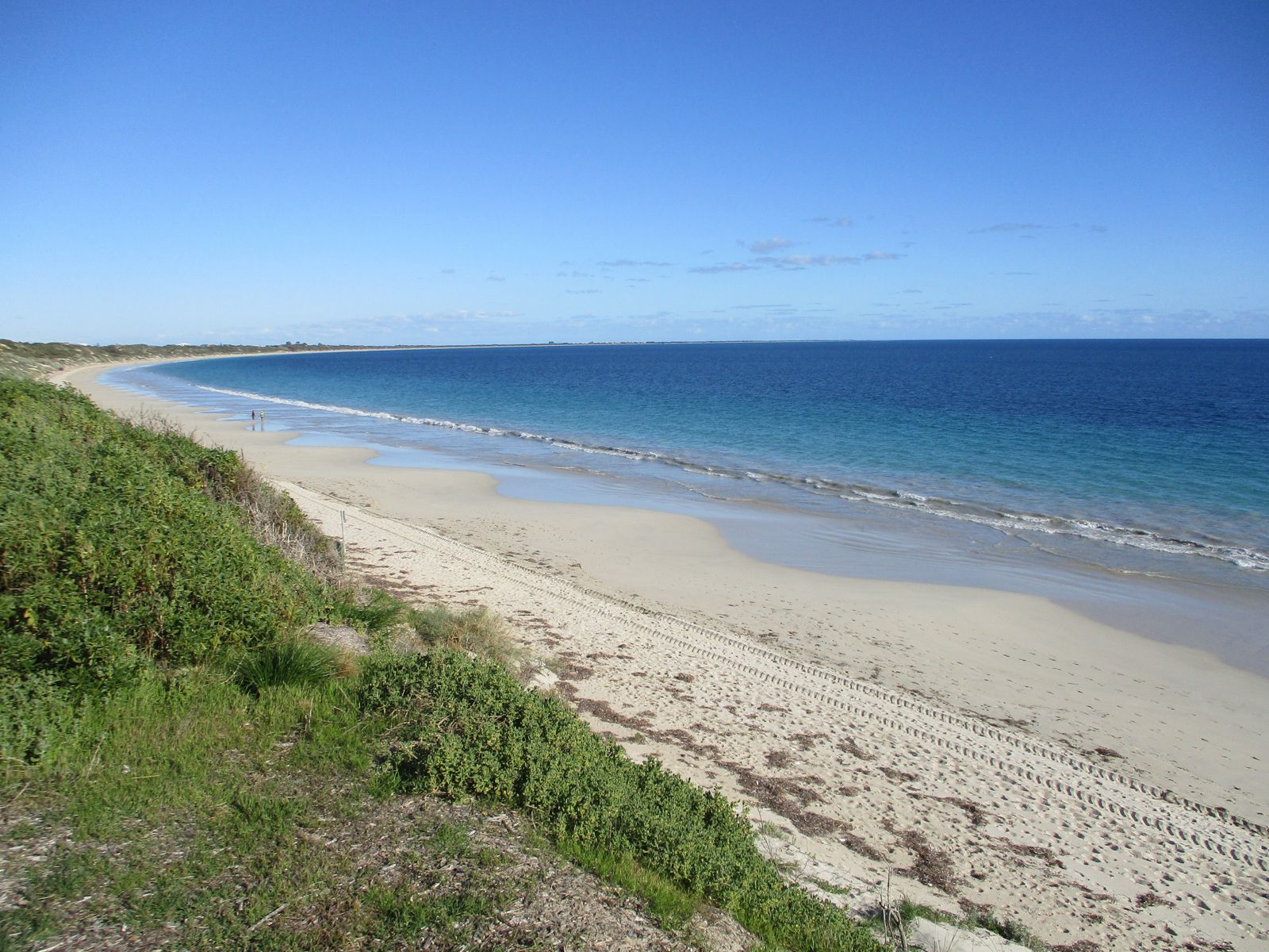
The spot
Community-maintained
Community contribution: submitted by Daniel
Know before you go
Logged by the community, confirmed by mods
Moderate risk: Strong summer sea breezes
Afternoon seabreezes can cause choppy conditions and make return to shore difficult.
Moderate risk: Large Swell
Swell above 1.0m makes the site undivable and dangerous
Moderate risk: Penetration Hazard (Enclosed Cabins)
Dark confined spaces and three levels of passageways inside the wreck
Moderate risk: Swell conditions
Swell above 1.0 metre can make the site undiveable and hazardous for small vessels at the mooring.
Moderate risk: Depth hazard
Maximum depth of 18 metres with decks starting at 11 metres — unsuitable for inexperienced snorkelers without training.
Low risk: Boat traffic
Warnbro Sound is used by recreational and fishing vessels. The Saxon Ranger wreck is accessed by boat and requires vigilance for other watercraft.
Low risk: Strong currents
Tidal currents in the sound can pick up, especially during tidal exchanges. Snorkelers should check tide conditions before entering.
Low risk: Limited shore access
The Saxon Ranger wreck is offshore and requires a boat to reach. Snorkeling along the nearshore areas of the dive park is possible but requires wading through soft sand.
Low risk: Silt and reduced visibility
The sandy/silty bottom can reduce underwater visibility, particularly after wind or boat activity.
Low risk: Cold water temperatures
Winter water temperatures drop below 16°C, posing cold-water risks even with a wetsuit.
Low risk: Low Visibility (2-10m)
Visibility can drop to as low as 2 metres, increasing disorientation risk
Low risk: Tidal Current
Strong currents can develop in Warnbro Sound
Low risk: Permit Requirement
A Department of Parks and Wildlife permit is required before visiting
Low risk: Variable visibility
Variable water clarity ranging from 2-10 metres; common in Warnbro Sound, particularly after wind or swell events.
Low risk: Offshore boat access only
The wreck is roughly 1 mile offshore; boat access only. Requires strong swimming ability and boat safety knowledge.
Low risk: Limited visibility
Visibility ranges from 2 to 10 metres, requiring careful orientation and buddy awareness.
Low risk: Marine park permit required
A permit is mandatory to visit the wreck site within Shoalwater Islands Marine Park.
Wildlife Guide
No wildlife notes for this spot yet.
Gallery
1 photo from the community
Getting in
Boat
Entry
Located offshore in Warnbro Sound within Shoalwater Islands Marine Park, roughly 1 mile from shore. Access via Carlisle Street boat ramp, Donald Drive boat ramp, or Port Kennedy boat launching facility. GPS: S 32° 19.610' E 115° 42.310'. The yellow wreck marker is visible from the Bent Street boat ramp.
Parking & facilities
Available at Carlisle Street boat ramp, Donald Drive boat ramp, and Port Kennedy boat launching facility.
boat_rampparking
A recreational dive permit is required (cost based on a vessel carrying up to 4 divers, with a 2-hour limit on moorings). Permits available from Rockingham Visitor Centre and local dive shops.
Spot Map
Community
Gallery ┬╖ 1 photos
Trust
Is this spot real, accurate, still loved?
Spots near Western Australia

No nearby spots yet.
Needs verification
Quick verify
One tap helps the community keep this spot honest.
About this data
- Conditions last evaluated
- Spot data last updated
- Data sources
- Open-Meteo (marine & weather conditions), tide predictions via UTide, community contributors (descriptions, hazards, marine life).
- License
- Spot content licensed under CC BY-SA 4.0. How's the Spot is open source.
Weather & swell ┬╖ Open-Meteo marine & weather APIs Tides ┬╖ UTide harmonic analysis Sea & safety ┬╖ community reports