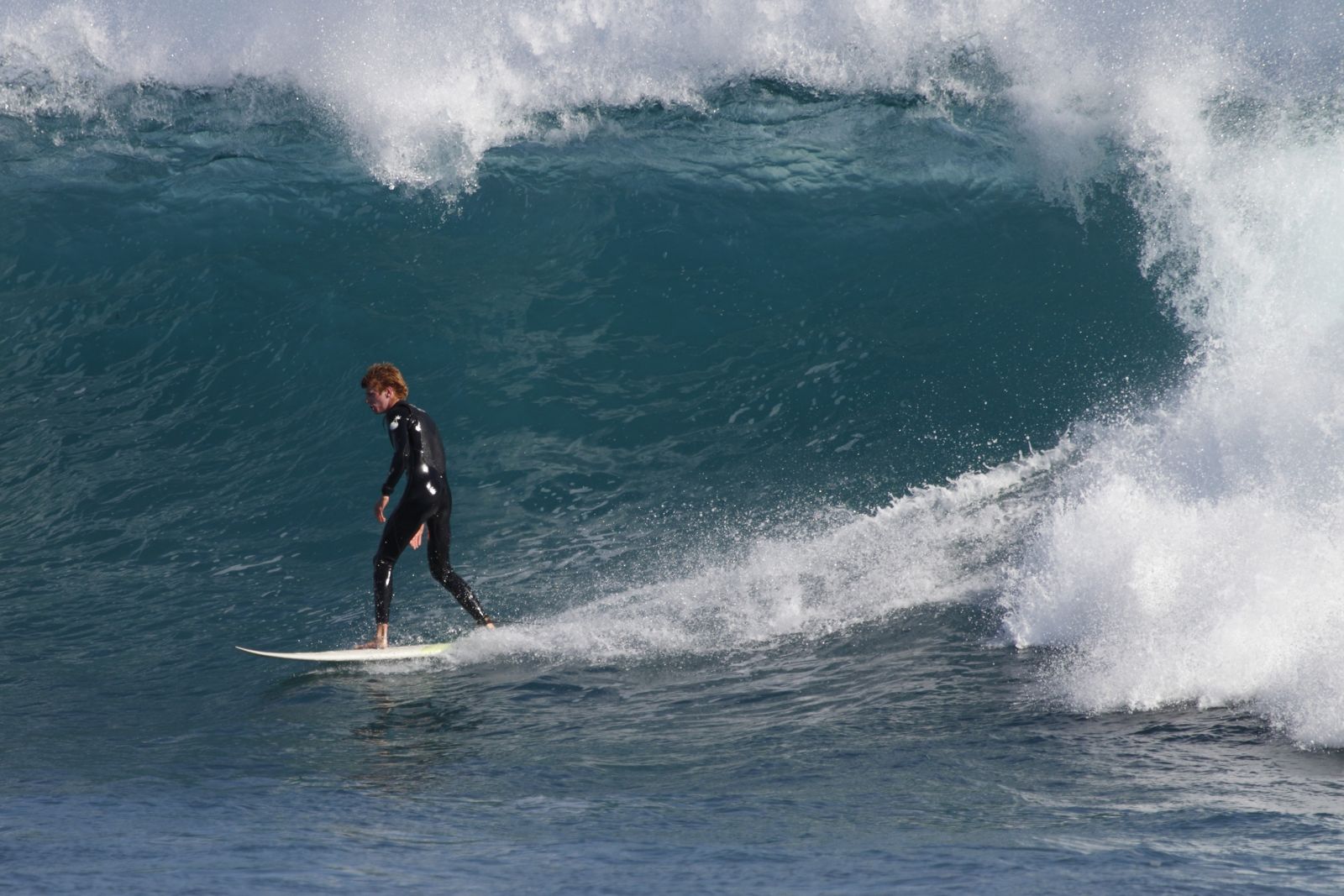
The Passage is a well-known surf and snorkel spot on the southern side of Port Fairy, Victoria, along the Shipwreck Coast. The site features a boulder and reef substrate shaped by strong Southern Ocean swells, creating an underwater terrain of rocky reefs and channels that hold abundant fish and invertebrate life. It is the more advanced water zone in town — suited to confident swimmers and snorkelers who can handle shifting currents and powerful wave action. On calm days with low swell, the reef systems to the east and west offer excellent snorkelling.
The Passage (Port Fairy)
AdvancedMAYBE
MAYBE
Fair. Experienced snorkellers only.
Showing last known conditions
Wave Height 0.9 mSwell Period 11 sWind Speed 11 knPrecipitation 27 mmTidal Phase slack
Last evaluated
 © Ed Dunens
The spot
Community-maintained
Community contribution: submitted by Daniel
Know before you go
Logged by the community, confirmed by mods
Moderate risk: Strong Southern Ocean swell
The Passage faces the Southern Ocean and can receive powerful, unpredictable swells. White water conditions make entry unsafe.
Moderate risk: Shifting currents
Reef and rock formations create variable currents that can change quickly, particularly around the reef channels.
Low risk: Boat traffic
This area is frequented by boats, requiring snorkelers to display a dive flag for visibility.
Low risk: Rocky/reef bottom
Boulder and reef substrate with sharp edges and shallow reef shelves — care needed for entry and exit.
Wildlife Guide
No wildlife notes for this spot yet.
Gallery
5 photos from the community
Getting in
Shore entry
Entry
The Passage is located where Ocean Drive meets Phillip Street on the south side of Port Fairy. From the town centre, head south on Sackville Street which becomes Ocean Drive; continue for about 2 km to reach the site near the Ocean Drive 3 beach marker.
Parking & facilities
Roadside parking is available along Ocean Drive near the intersection with Phillip Street.
parking
Free
Spot Map
Community
Gallery ┬╖ 5 photos
Trust
Is this spot real, accurate, still loved?
Spots near Victoria

No nearby spots yet.
Needs verification
Quick verify
One tap helps the community keep this spot honest.
About this data
- Conditions last evaluated
- Spot data last updated
- Data sources
- Open-Meteo (marine & weather conditions), tide predictions via UTide, community contributors (descriptions, hazards, marine life).
- License
- Spot content licensed under CC BY-SA 4.0. How's the Spot is open source.
Weather & swell ┬╖ Open-Meteo marine & weather APIs Tides ┬╖ UTide harmonic analysis Sea & safety ┬╖ community reports