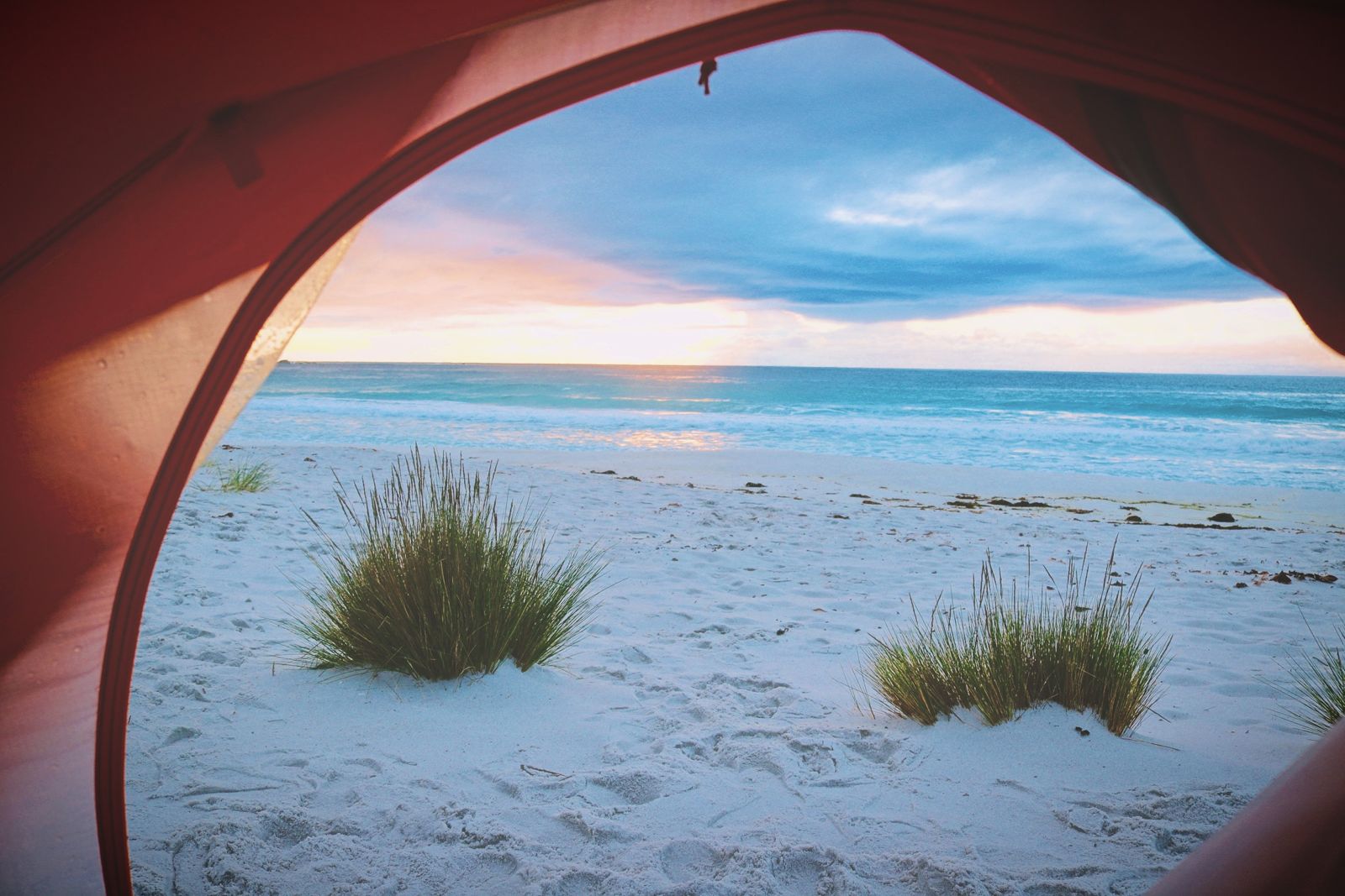
The Gulch is a sheltered rocky cove at Binalong Bay, at the southern gateway to the Bay of Fires Conservation Area in north-east Tasmania. Crystal-clear temperate waters wash over white sand between burnt-orange lichen-covered granite boulders, forming natural tidal pools and calm gullies perfect for snorkelling. This is where locals come to hunt abalone and admire the vivid underwater gardens of seaweed, sponge and anemone clinging to the boulders. The translucent, reef-protected waters offer excellent visibility, making it feel like swimming in a giant natural aquarium.
The Gulch (Binalong Bay)
BeginnerGO
GO
It's a go.
Showing last known conditions
Wave Height 0.8 mSwell Period 7.2 sWind Speed 1.7 knPrecipitation 2.1 mmTidal Phase ebb
Last evaluated
The spot
Community-maintained
Community contribution: submitted by Daniel
Know before you go
Logged by the community, confirmed by mods
Low risk: Slippery granite boulders
The orange-lichen covered rocks can be extremely slippery when wet. Take care when entering and exiting the water.
Low risk: Cold water temperatures
Temperate Tasmanian waters year-round, typically 12–18°C. Wetsuit recommended for extended snorkelling.
Low risk: Outgoing tide current
Water can flow out of the gulch more swiftly on an outgoing tide, potentially pulling snorkellers towards open water.
Low risk: Stinging jellyfish
Bluebottles and other jellyfish occasionally appear in warmer months.
Wildlife Guide
No wildlife notes for this spot yet.
Gallery
3 photos from the community
Getting in
Shore entry
Entry
Drive 11 km north of St Helens on Binalong Bay Road (C850). Continue into Binalong Bay township; park on the left above the main beach. The Gulch is a short walk north along the coastal track past the main beach.
Parking & facilities
Car parking is available on the left above the main beach in Binalong Bay township. No security.
toiletsparking
No entry fee for the beach or Gulch. Bay of Fires Conservation Area camping permits required for overnight stays.
Spot Map
Community
Gallery ┬╖ 3 photos
Trust
Is this spot real, accurate, still loved?
Spots near Tasmania

No nearby spots yet.
Needs verification
Quick verify
One tap helps the community keep this spot honest.
About this data
- Conditions last evaluated
- Spot data last updated
- Data sources
- Open-Meteo (marine & weather conditions), tide predictions via UTide, community contributors (descriptions, hazards, marine life).
- License
- Spot content licensed under CC BY-SA 4.0. How's the Spot is open source.
Weather & swell ┬╖ Open-Meteo marine & weather APIs Tides ┬╖ UTide harmonic analysis Sea & safety ┬╖ community reports