The Castle is a spectacular dive and snorkel site within Bicheno's Governor Island Marine Reserve, renowned for a dramatic swim-through tunnel between two massive granite boulders draped in colourful sea whips, gorgonians and yellow carpet coral. This exposed rocky reef drops vertically to 26 metres and is carved with caves, overhangs and narrow cracks to explore. The nutrient-rich Southern Ocean waters attract abundant marine life including massive crayfish, bastard trumpeters and abalone. Accessible only by boat, it's one of Tasmania's east coast underwater highlights.
The Castle (Bicheno)
IntermediateGO
GO
It's a go.
Showing last known conditions
Wave Height 0.4 mSwell Period 4.0 sWind Speed 3.3 knPrecipitation 2.1 mmTidal Phase slack
Last evaluated
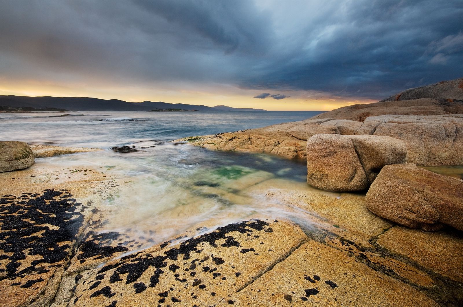 © JJ Harrison
The spot
Community-maintained
Community contribution: submitted by Daniel
Know before you go
Logged by the community, confirmed by mods
Moderate risk: Strong surge and swells
Exposed site subject to Southern Ocean swells; surge can be strong through the cave and swim-throughs, especially in rough weather.
Moderate risk: Limited bottom time on deep sections
The wall drops to 26 m, limiting no-decompression bottom time; careful dive planning essential.
Low risk: Cold water temperatures
Water temperatures average around 16°C in summer and drop significantly in winter; cold-water gear required.
Low risk: Restricted visibility in the tunnel
The narrow cave/tunnel can be silty with reduced visibility; a torch is essential.
Wildlife Guide
No wildlife notes for this spot yet.
Gallery
3 photos from the community
Getting in
Boat
Entry
Launch from the Bicheno boat ramp near the town centre or join a charter dive operator in Bicheno. The Castle is roughly 3 minutes by boat from the ramp, located just off the north side of Governor Island.
Parking & facilities
Free parking available at the Bicheno boat ramp carpark on Champ Street.
parkingboat_ramp
No fees for the marine reserve access; charter costs vary by operator.
Spot Map
Community
Gallery ┬╖ 3 photos
Trust
Is this spot real, accurate, still loved?
Spots near Tasmania

No nearby spots yet.
Needs verification
Quick verify
One tap helps the community keep this spot honest.
About this data
- Conditions last evaluated
- Spot data last updated
- Data sources
- Open-Meteo (marine & weather conditions), tide predictions via UTide, community contributors (descriptions, hazards, marine life).
- License
- Spot content licensed under CC BY-SA 4.0. How's the Spot is open source.
Weather & swell ┬╖ Open-Meteo marine & weather APIs Tides ┬╖ UTide harmonic analysis Sea & safety ┬╖ community reports