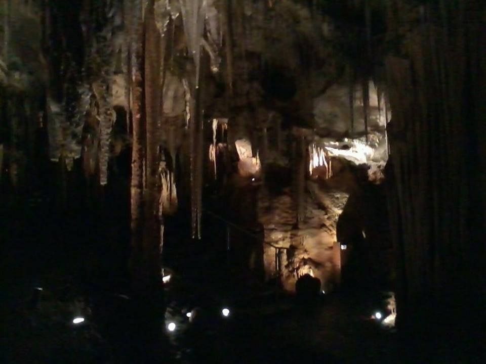
Tank Cave is a world-class freshwater cave-diving and snorkeling site in the Limestone Coast of South Australia, lying beneath ForestrySA-managed land near Tantanoola. This flooded limestone cave system was carved over millennia by rainwater percolating through porous rock, creating crystal-clear underwater chambers, narrow passages, and cathedral-like caverns. Unlike open-water spots, Tank Cave offers an otherworldly experience of submerged stalactites, limestone formations, and near-perfect visibility in a completely enclosed environment. Access is strictly restricted to trained, certified cave divers who are members of the CDAA, with permits required from ForestrySA.
Tank Cave (Tantanoola)
AdvancedSKIP
SKIP
Poor conditions. Stay out today.
Showing last known conditions
Wave Height 1.8 mSwell Period 10 sWind Speed 9.9 knPrecipitation 7.6 mmTidal Phase slack
Last evaluated
 © Thom Devereux
DANGER: Explicit Risks Present
Tank Cave (Tantanoola) has hazards marked as danger. Entering the water here means you may face serious risks to your personal safety.
- Overhead Environment – No Direct Surface Access danger
Snorkeling and diving occurs entirely inside a submerged cave system with no direct ascent to surface. Entrapment and entanglement risks are extreme.
- Silt-Out / Zero Visibility danger
Fine sediment on cave floors can be easily stirred up, creating sudden complete loss of visibility, disorientation, and inability to find the exit.
- Restricted Entry – Qualified Divers Only danger
Access requires CDAA membership and advanced cave certification. Untrained snorkelers cannot enter due to the extreme overhead environment.
- Overhead cave environment danger
Sustained overhead environment with limited direct exit to surface, requiring cave-diving certification and training.
- Silt disturbance danger
Fine silt on cave floors can reduce visibility to zero if stirred up, leading to disorientation.
The spot
Community-maintained
Community contribution: submitted by Daniel
Know before you go
Logged by the community, confirmed by mods
High risk: Overhead Environment – No Direct Surface Access
Snorkeling and diving occurs entirely inside a submerged cave system with no direct ascent to surface. Entrapment and entanglement risks are extreme.
High risk: Silt-Out / Zero Visibility
Fine sediment on cave floors can be easily stirred up, creating sudden complete loss of visibility, disorientation, and inability to find the exit.
High risk: Restricted Entry – Qualified Divers Only
Access requires CDAA membership and advanced cave certification. Untrained snorkelers cannot enter due to the extreme overhead environment.
High risk: Overhead cave environment
Sustained overhead environment with limited direct exit to surface, requiring cave-diving certification and training.
High risk: Silt disturbance
Fine silt on cave floors can reduce visibility to zero if stirred up, leading to disorientation.
Moderate risk: Cold Water Temperature
The cave water remains consistently cold (around 12–15°C) year-round, increasing risk of hypothermia without appropriate exposure protection.
Moderate risk: Strong currents at restrictions
Narrow passages can channel water flow, creating unexpected current changes in cave tunnels.
Low risk: Limited daylight hours
Access to the cave is typically restricted to daylight hours and may be weather-dependent.
Wildlife Guide
No wildlife notes for this spot yet.
Gallery
3 photos from the community
Getting in
Snorkel tour
Entry
Located near Tantanoola, approximately 30 km north-west of Mount Gambier on the Limestone Coast of South Australia. Access is via ForestrySA-managed land off the Princes Highway. Exact cave entrance location is provided only to permitted CDAA members.
Parking & facilities
Limited unparked area near the ForestrySA access track. Not suitable for large vehicles or caravans without prior arrangement.
parking
A ForestrySA permit is required; fees vary and must be booked online via the ForestrySA Rezdy system. CDAA membership fees apply separately.
Spot Map
Community
Gallery ┬╖ 3 photos
Trust
Is this spot real, accurate, still loved?
Spots near South Australia

No nearby spots yet.
Needs verification
Quick verify
One tap helps the community keep this spot honest.
About this data
- Conditions last evaluated
- Spot data last updated
- Data sources
- Open-Meteo (marine & weather conditions), tide predictions via UTide, community contributors (descriptions, hazards, marine life).
- License
- Spot content licensed under CC BY-SA 4.0. How's the Spot is open source.
Weather & swell ┬╖ Open-Meteo marine & weather APIs Tides ┬╖ UTide harmonic analysis Sea & safety ┬╖ community reports