Tacking Point, just south of Port Macquarie on the Mid North Coast of NSW, is anchored by the historic Tacking Point Lighthouse — the 13th oldest lighthouse in Australia. The headland shelters a rocky shoreline and shallow reef formations that create calm, clear pockets ideal for snorkeling close to shore. The surrounding beaches, patrolled by Tacking Point SLSC, offer easy water access with stunning 180-degree ocean views. From May to November, migrating humpback whales pass by, and dolphins are frequent companions in the surf. The adjacent Coastal Walk provides a scenic link to explore the area's rugged coastline and marine park waters.
Tacking Point
BeginnerGO
GO
It's a go.
Showing last known conditions
Wave Height 0.3 mSwell Period 7.4 sWind Speed 8.7 knPrecipitation 0.2 mmTidal Phase slack
Last evaluated
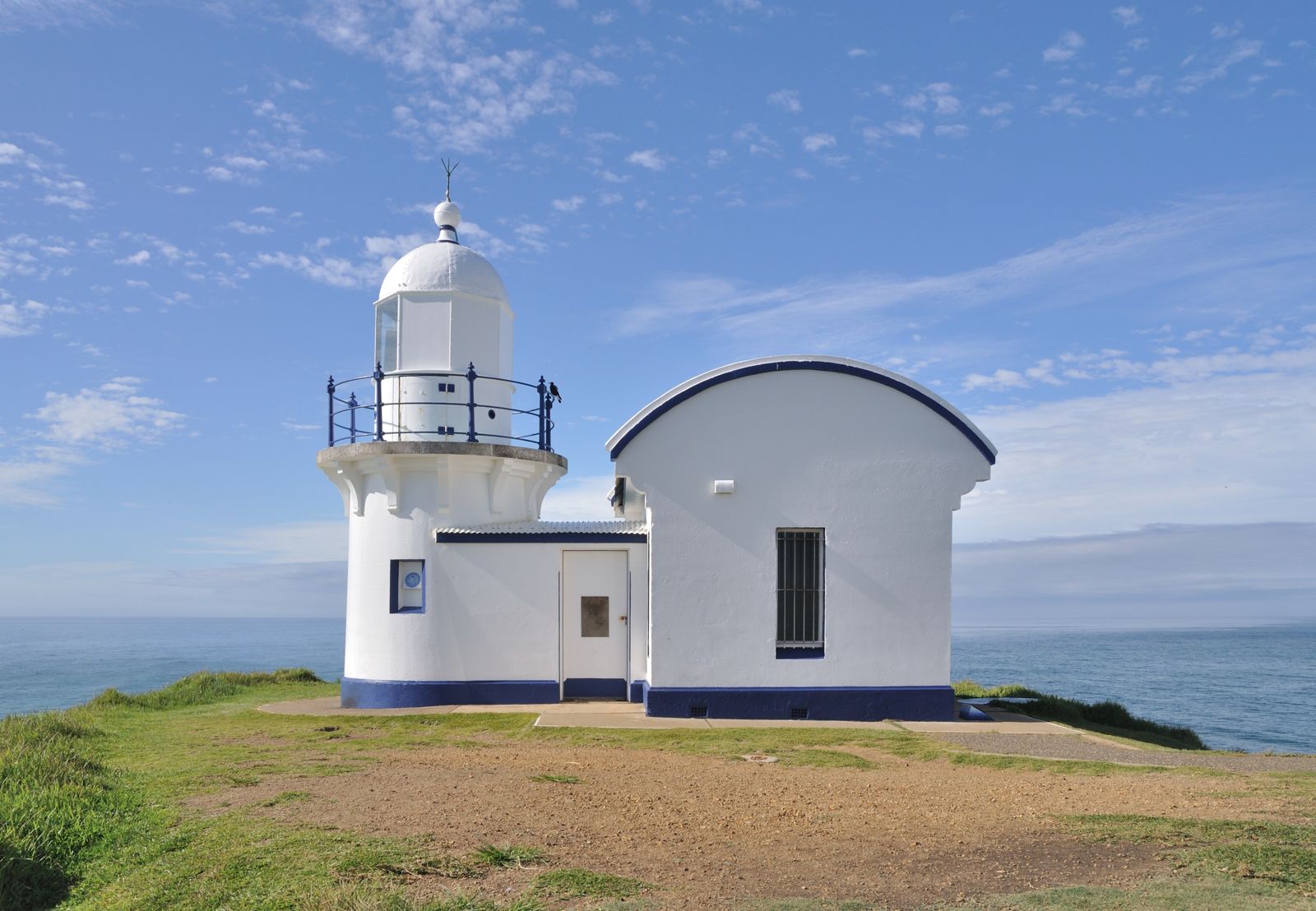 © Quartl
DANGER: Explicit Risks Present
Tacking Point has hazards marked as danger. Entering the water here means you may face serious risks to your personal safety.
- Swell and Surge danger
Exposed rocky headland receives significant Pacific Ocean swell; large waves and surge can slam snorkelers into rocks. Only safe in calm, low-swell conditions.
The spot
Community-maintained
Community contribution: submitted by Daniel
Know before you go
Logged by the community, confirmed by mods
High risk: Swell and Surge
Exposed rocky headland receives significant Pacific Ocean swell; large waves and surge can slam snorkelers into rocks. Only safe in calm, low-swell conditions.
Moderate risk: Rip Currents
Strong rip currents can develop along the surf beach adjacent to the point. Swim between the red and yellow flags at the patrolled area.
Moderate risk: Sharp Rocks
Basalt and tuff reef platforms are jagged and barnacle-encrusted; cuts and scrapes are common when entering or exiting the water.
Moderate risk: Unpredictable Currents
Tidal flows around the point can create rip-like currents and sweep snorkelers away from the rocks. Swimmers should stay alert.
Low risk: Swell and Surf
This is the main surfing beach for Port Macquarie, with moderate to large swells creating hazardous shorebreak conditions near the rocky point.
Low risk: Rocky Shoreline
Sharp and uneven rocks along the point and reef areas can cause cuts and injury when entering or exiting the water.
Low risk: Marine Stingers
Bluebottles (Portuguese man o' war) and other jellyfish can be present in warmer months.
Low risk: No Lifeguard Patrol
This is an unpatrolled rocky headland, not a designated swimming beach. No lifeguards on duty.
Wildlife Guide
No wildlife notes for this spot yet.
Gallery
4 photos from the community
Getting in
Shore entry
Entry
From Port Macquarie town centre, take Pacific Drive south toward Lighthouse Road. Follow Lighthouse Road to the end at Tacking Point Lighthouse Reserve. The snorkeling area is accessible from the beach below the headland.
Parking & facilities
Limited free parking is available at Tacking Point Lighthouse Reserve carpark off Lighthouse Road, plus additional parking along the road verge.
parkingtoiletspicnic_tables
No entry or parking fees.
Spot Map
Community
Gallery ┬╖ 4 photos
Trust
Is this spot real, accurate, still loved?
Spots near New South Wales

No nearby spots yet.
Needs verification
Quick verify
One tap helps the community keep this spot honest.
About this data
- Conditions last evaluated
- Spot data last updated
- Data sources
- Open-Meteo (marine & weather conditions), tide predictions via UTide, community contributors (descriptions, hazards, marine life).
- License
- Spot content licensed under CC BY-SA 4.0. How's the Spot is open source.
Weather & swell ┬╖ Open-Meteo marine & weather APIs Tides ┬╖ UTide harmonic analysis Sea & safety ┬╖ community reports