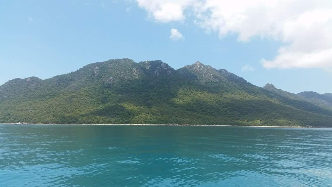
Stonehaven Bay, cradled by the rugged headlands of Gloucester Island National Park, offers a weather-protected snorkeling haven in the heart of the Whitsundays. Sheltered from prevailing southeasterly winds, this calm bay features fringing coral reefs that drop gently into clear blue waters. Its secluded setting, accessible only by boat, provides a peaceful escape where snorkelers can drift over healthy coral bommies and rocky reef ledges teeming with marine life. The bay's position on the western side of Gloucester Island makes it a favoured all-weather anchorage for bareboat cruisers exploring the northern Whitsunday Islands.
Stonehaven Bay (Gloucester Island)
BeginnerGO
GO
It's a go.
Showing last known conditions
Wave Height 0.0 mSwell Period 2.7 sWind Speed 8.4 knPrecipitation 1.1 mmTidal Phase flood
Last evaluated
The spot
Community-maintained
Community contribution: submitted by Daniel
Know before you go
Logged by the community, confirmed by mods
Moderate risk: Marine stingers (box jellyfish)
Stinger season in north Queensland; wear a stinger suit during warmer months.
Moderate risk: Marine stingers (box jellyfish)
Stinger season continues in early months; wear a stinger suit.
Low risk: Boat traffic
Anchored yachts and tour vessels enter and exit the bay regularly; maintain awareness.
Wildlife Guide
No wildlife notes for this spot yet.
Gallery
1 photo from the community
Getting in
Boat
Entry
Stonehaven Bay is accessible only by private or charter vessel. Depart from Airlie Beach or Shute Harbour (approx. 1–1.5 hr cruise north). It lies on the western side of Gloucester Island, the northernmost of the Whitsunday Island group. The bay is a popular anchorage for bareboat charters and day-tour vessels.
Parking & facilities
No parking available at the bay. Park at Shute Harbour or Abel Point Marina (Airlie Beach) if arriving by private vessel.
No direct fees for the bay itself. Charter tour fees vary; bareboat charter hire is required for independent access.
Spot Map
Community
Gallery ┬╖ 1 photos
Trust
Is this spot real, accurate, still loved?
Spots near Queensland

No nearby spots yet.
Needs verification
Quick verify
One tap helps the community keep this spot honest.
About this data
- Conditions last evaluated
- Spot data last updated
- Data sources
- Open-Meteo (marine & weather conditions), tide predictions via UTide, community contributors (descriptions, hazards, marine life).
- License
- Spot content licensed under CC BY-SA 4.0. How's the Spot is open source.
Weather & swell ┬╖ Open-Meteo marine & weather APIs Tides ┬╖ UTide harmonic analysis Sea & safety ┬╖ community reports