The SS Australian was an iron steamship that sank off the coast of Yorke Peninsula in South Australia, becoming part of the famed Investigator Strait Shipwreck Trail. This wreck lies in shallow waters accessible to snorkelers, with twisted metal hull sections and scattered debris visible on calm days. The site offers a glimpse into the region's rich maritime history, where over 25 vessels were lost between 1849 and 1982 in these treacherous waters.
SS Australian (wreck)
IntermediateGO
GO
It's a go.
Showing last known conditions
Wave Height 0.4 mSwell Period 11 sWind Speed 7.6 knPrecipitation 9.1 mmTidal Phase ebb
Last evaluated
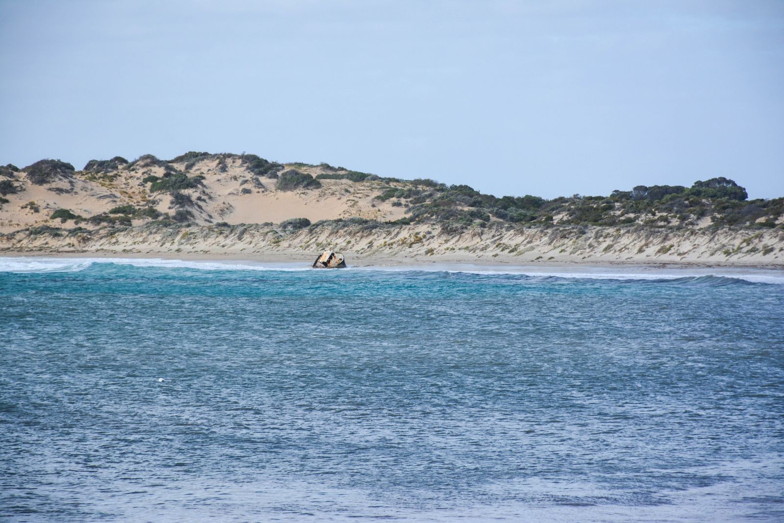 © Peterdownunder
The spot
Community-maintained
Community contribution: submitted by Daniel
Know before you go
Logged by the community, confirmed by mods
Moderate risk: Rough seas and swell
Investigator Strait is prone to strong winds and large swells, particularly in winter, making snorkeling conditions hazardous.
Low risk: Strong currents
Tidal currents in the strait can be strong and unpredictable, especially around reef heads and near the wreck structure.
Low risk: Sharp metal debris
The wreckage comprises rusted iron and steel with sharp edges that can cause injury.
Low risk: Cold water temperatures
South Australian coastal waters are cold year-round, with winter temperatures dropping significantly, increasing hypothermia risk.
Wildlife Guide
No wildlife notes for this spot yet.
Gallery
1 photo from the community
Getting in
Shore entry
Entry
Located along the Investigator Strait Shipwreck Trail on the southern coast of Yorke Peninsula. Access via dirt tracks off the main coastal roads near Troubridge Point or Edithburgh. Check local tide charts and weather before visiting.
Parking & facilities
Limited roadside parking near beach access points along the Investigator Strait coast.
parking
No fees required for snorkeling access to the site.
Spot Map
Community
Gallery ┬╖ 1 photos
Trust
Is this spot real, accurate, still loved?
Spots near South Australia

No nearby spots yet.
Needs verification
Quick verify
One tap helps the community keep this spot honest.
About this data
- Conditions last evaluated
- Spot data last updated
- Data sources
- Open-Meteo (marine & weather conditions), tide predictions via UTide, community contributors (descriptions, hazards, marine life).
- License
- Spot content licensed under CC BY-SA 4.0. How's the Spot is open source.
Weather & swell ┬╖ Open-Meteo marine & weather APIs Tides ┬╖ UTide harmonic analysis Sea & safety ┬╖ community reports