Squeaking Point Jetty offers calm, sheltered snorkelling on the Rubicon River estuary where the protected waters of Port Sorell meet Bass Strait. The sandy-bottomed shallows around the jetty and boat ramp host seagrass beds that attract pipefish, juvenile flathead and the occasional weedy seadragon drifting through. With easy shore access and parking just steps away, this tidal jetty provides a laid-back entry for beginners wanting to explore Tasmania's temperate estuarine life without battling surf or swell.
Squeaking Point Jetty
BeginnerGO
GO
It's a go.
Showing last known conditions
Wave Height 0.1 mSwell Period 5.0 sWind Speed 4.8 knPrecipitation 14 mmTidal Phase flood
Last evaluated
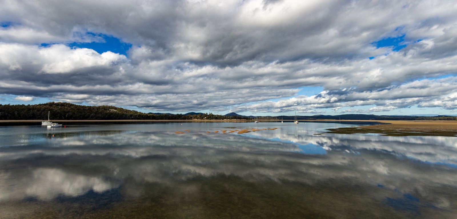 © Steven Penton
The spot
Community-maintained
Community contribution: submitted by Daniel
Know before you go
Logged by the community, confirmed by mods
Low risk: Tidal current
Strong tidal flows can develop near the jetty during incoming and outgoing tides, especially around the channel mouth.
Low risk: Reduced visibility after rain
The estuarine water clarity reduces significantly after rain events, stirred by sediment from the Rubicon River catchment.
Low risk: Boat and kayak traffic
The jetty and boat ramp see regular boat and kayak traffic; snorkellers should stay well clear of the ramp's immediate channel.
Wildlife Guide
No wildlife notes for this spot yet.
Gallery
2 photos from the community
Getting in
Shore entry
Entry
Located at the end of Charles Street in Squeaking Point, off Squeaking Point Road on the Rubicon River estuary near Port Sorell in North East Tasmania.
Parking & facilities
Car park available on-site at Squeaking Point Reserve.
toiletsparkingboat_ramp
Free public access.
Spot Map
Community
Gallery ┬╖ 2 photos
Trust
Is this spot real, accurate, still loved?
Spots near Tasmania

No nearby spots yet.
Needs verification
Quick verify
One tap helps the community keep this spot honest.
About this data
- Conditions last evaluated
- Spot data last updated
- Data sources
- Open-Meteo (marine & weather conditions), tide predictions via UTide, community contributors (descriptions, hazards, marine life).
- License
- Spot content licensed under CC BY-SA 4.0. How's the Spot is open source.
Weather & swell ┬╖ Open-Meteo marine & weather APIs Tides ┬╖ UTide harmonic analysis Sea & safety ┬╖ community reports