Tucked away in the Wamberal Lagoon Nature Reserve at the northern end of Wamberal Beach, Spoon Bay is a secluded snorkeling gem that even many locals miss. Its rocky lagoon shoreline and patch of golden sand create a haven for marine life, while just 600m offshore the reef drops from 14m to 18m, hosting a spectacular sponge garden — the best on the Central Coast. The rocky outcrops near shore teem with aquatic wildlife, making every visit an underwater discovery. A short walk down from Spoon Bay Road rewards you with calm, clear waters ideal for a peaceful snorkel.
Spoon Bay
IntermediateGO
GO
It's a go.
Showing last known conditions
Wave Height 0.3 mSwell Period 6.4 sWind Speed 3.6 knPrecipitation 6.4 mmTidal Phase flood
Last evaluated
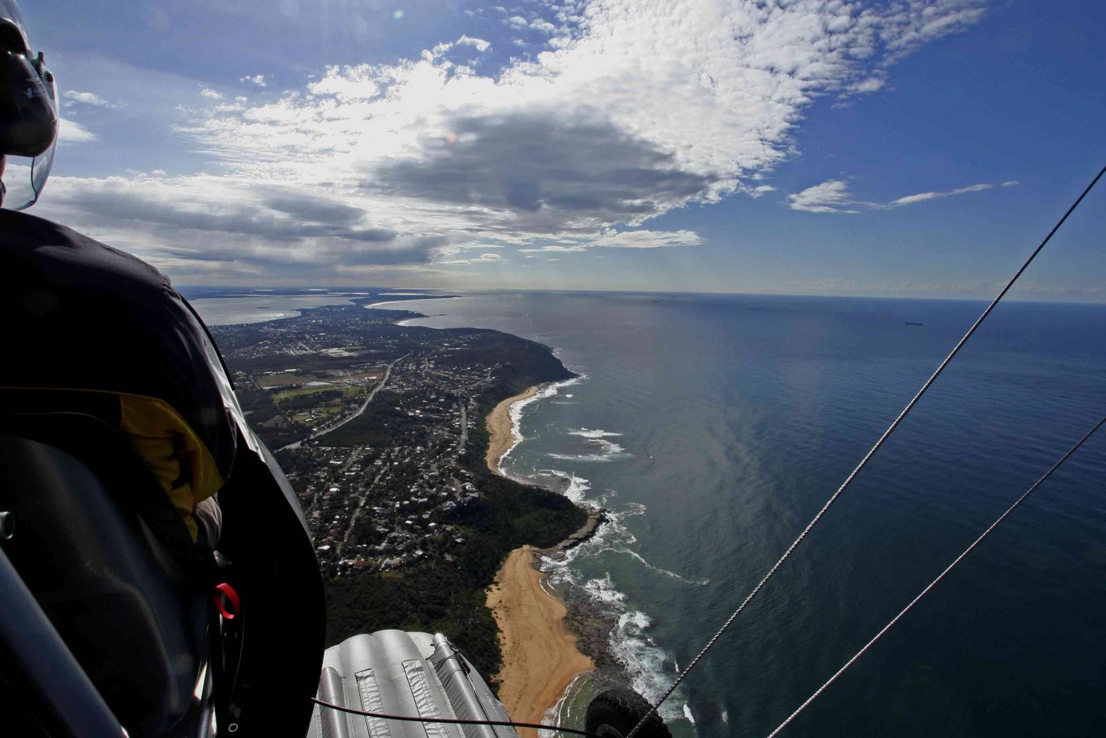 © Ray Hayward
The spot
Community-maintained
Community contribution: submitted by Daniel
Know before you go
Logged by the community, confirmed by mods
Moderate risk: Rip currents
Strong rips are known to occur at Spoon Bay, particularly near the shore break. Not recommended for weak swimmers.
Low risk: Ocean swell
When a southerly or easterly swell is running, the shallow reef becomes surgey and stirred up, reducing visibility and making conditions hazardous.
Low risk: Rocky shore entry
Entry from the beach involves navigating some rocky sections at the shoreline, which can be slippery underfoot.
Low risk: Rocky shoreline
Entry and exit are via a rocky lagoon shoreline — care needed when scrambling over rocks, especially at high tide.
Wildlife Guide
No wildlife notes for this spot yet.
Gallery
1 photo from the community
Getting in
Shore entry
Entry
From the Central Coast, take Spoon Bay Road off Ocean View Drive in Wamberal. A short walking track from the end of Spoon Bay Road leads down to the bay. The spot is at the northern end of Wamberal Beach, within the Wamberal Lagoon Nature Reserve.
Parking & facilities
Limited street parking available on Spoon Bay Road near the track entrance.
Free
Spot Map
Community
Gallery ┬╖ 1 photos
Trust
Is this spot real, accurate, still loved?
Spots near New South Wales

No nearby spots yet.
Needs verification
Quick verify
One tap helps the community keep this spot honest.
About this data
- Conditions last evaluated
- Spot data last updated
- Data sources
- Open-Meteo (marine & weather conditions), tide predictions via UTide, community contributors (descriptions, hazards, marine life).
- License
- Spot content licensed under CC BY-SA 4.0. How's the Spot is open source.
Weather & swell ┬╖ Open-Meteo marine & weather APIs Tides ┬╖ UTide harmonic analysis Sea & safety ┬╖ community reports