South Croppies Point is a wild, windswept headland on Tasmania's north-east coast within the Waterhouse Conservation Area. This remote stretch of white-sand beach and rocky point offers clear Bass Strait waters with excellent visibility on calm days. The rocky reef formations around the point create shallow snorkeling habitat teeming with temperate marine life. Surrounded by coastal heath and sand dunes, access requires a 4WD vehicle. With no facilities and total seclusion, it rewards adventurous snorkelers with pristine, uncrowded conditions and a true wilderness experience.
South Croppies Point
IntermediateGO
GO
It's a go.
Showing last known conditions
Wave Height 0.2 mSwell Period 4.2 sWind Speed 9.5 knPrecipitation 7.6 mmTidal Phase flood
Last evaluated
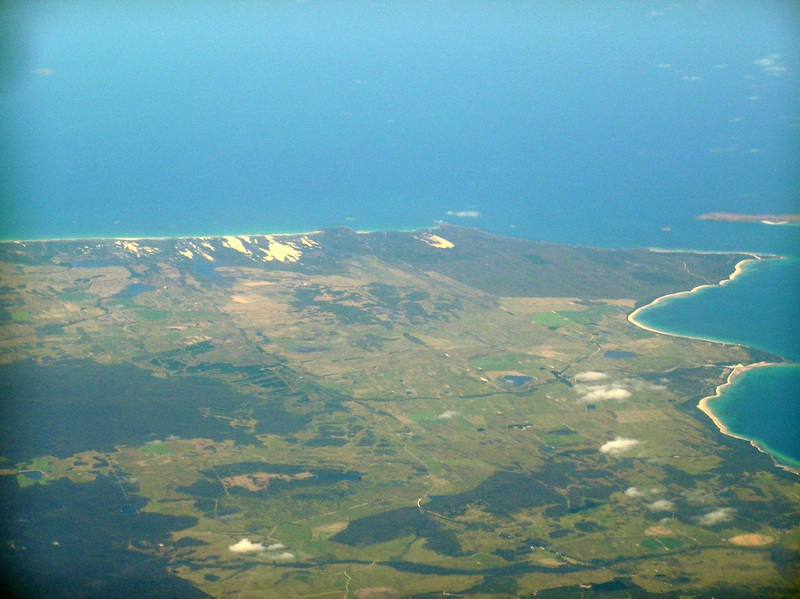 © Graeme Bartlett
DANGER: Explicit Risks Present
South Croppies Point has hazards marked as danger. Entering the water here means you may face serious risks to your personal safety.
- Remote location - no lifeguards danger
No on-site supervision or emergency services. Snorkelers must be entirely self-sufficient.
The spot
Community-maintained
Community contribution: submitted by Daniel
Know before you go
Logged by the community, confirmed by mods
High risk: Remote location - no lifeguards
No on-site supervision or emergency services. Snorkelers must be entirely self-sufficient.
Moderate risk: Strong ocean currents
Bass Strait currents can be strong around the point, especially on an outgoing tide. Swimmers and snorkelers should exercise caution.
Moderate risk: Swell and surf conditions
Exposed to Bass Strait swells; rough conditions can develop quickly. Best snorkeled on calm, low-swell days.
Low risk: 4WD access required
Access track is soft sand requiring a high-clearance 4WD vehicle. Not suitable for standard cars.
Wildlife Guide
No wildlife notes for this spot yet.
Gallery
1 photo from the community
Getting in
Shore entry
Entry
Located in Waterhouse Conservation Area, north-east Tasmania. From Bridport, head east on Waterhouse Road, then turn onto Homestead Road / South Croppies Road. The final track is soft sand requiring 4WD. Follow signs to South Croppies Point campground.
Parking & facilities
Dispersed parking available near the camping area on sandy tracks. No designated sealed parking lot.
Free - no booking required, first come first served.
Spot Map
Community
Gallery ┬╖ 1 photos
Trust
Is this spot real, accurate, still loved?
Spots near Tasmania

No nearby spots yet.
Needs verification
Quick verify
One tap helps the community keep this spot honest.
About this data
- Conditions last evaluated
- Spot data last updated
- Data sources
- Open-Meteo (marine & weather conditions), tide predictions via UTide, community contributors (descriptions, hazards, marine life).
- License
- Spot content licensed under CC BY-SA 4.0. How's the Spot is open source.
Weather & swell ┬╖ Open-Meteo marine & weather APIs Tides ┬╖ UTide harmonic analysis Sea & safety ┬╖ community reports