Sleaford Bay lies on the southern tip of the Eyre Peninsula, bordering the rugged Lincoln National Park. This sweeping coastal bay offers sheltered sandy beaches and rocky reef edges with clear, temperate waters. Known for its dramatic limestone cliffs and pristine seclusion, it's a serene spot for snorkeling, though largely undeveloped — visitors come for the untouched marine environment, seagrass meadows, and the raw beauty of South Australia's southern coastline.
Sleaford Bay
IntermediateSKIP
SKIP
Poor conditions. Stay out today.
Showing last known conditions
Wave Height 1.3 mSwell Period 11 sWind Speed 4.3 knPrecipitation 6.0 mmTidal Phase slack
Last evaluated
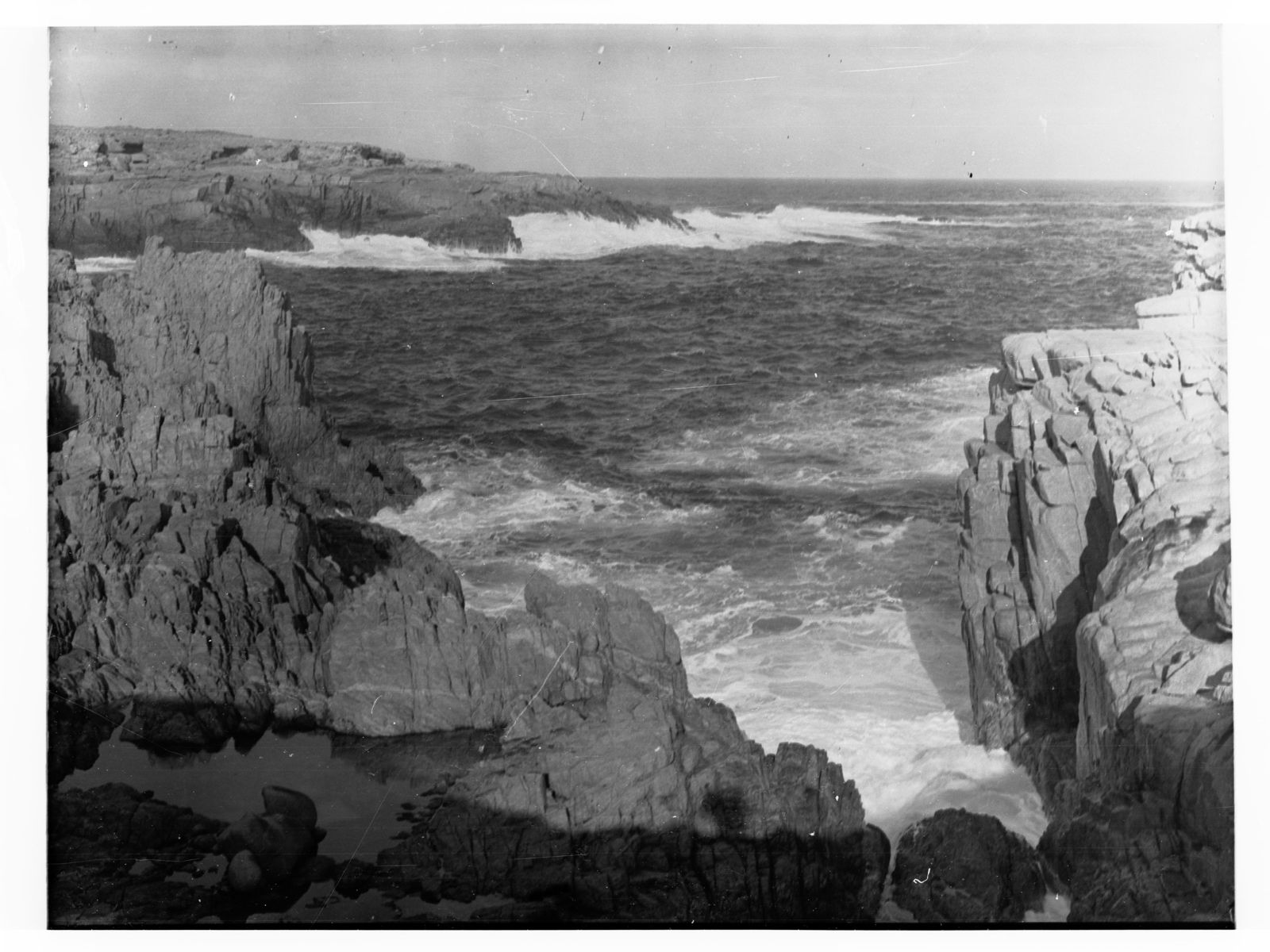 © Captain Frank Hurley
DANGER: Explicit Risks Present
Sleaford Bay has hazards marked as danger. Entering the water here means you may face serious risks to your personal safety.
- Rip Currents danger
Unpatrolled beach with potential for rip currents along the sandy stretches.
The spot
Community-maintained
Community contribution: submitted by Daniel
Know before you go
Logged by the community, confirmed by mods
High risk: Rip Currents
Unpatrolled beach with potential for rip currents along the sandy stretches.
Moderate risk: Strong Ocean Swells
Exposed to Southern Ocean swells, conditions can change rapidly with rough surf and strong wave action.
Moderate risk: Remote Location
Limited mobile reception and services; remote access means assistance is far away in an emergency.
Low risk: Cold Water Temperatures
Southern Ocean waters can be very cold even in summer, increasing risk of hypothermia during extended snorkeling.
Wildlife Guide
No wildlife notes for this spot yet.
Gallery
2 photos from the community
Getting in
Shore entry
Entry
Located approximately 30 km south of Port Lincoln on the Eyre Peninsula. Access via Sleaford Bay Road off Lincoln Highway. The bay is within and bordering Lincoln National Park — a park entry fee applies.
Parking & facilities
Unsealed parking areas near the beach within Lincoln National Park.
parking
Lincoln National Park entry fee applies (South Australia National Parks pass or daily fee).
Spot Map
Community
Gallery ┬╖ 2 photos
Trust
Is this spot real, accurate, still loved?
Spots near South Australia

No nearby spots yet.
Needs verification
Quick verify
One tap helps the community keep this spot honest.
About this data
- Conditions last evaluated
- Spot data last updated
- Data sources
- Open-Meteo (marine & weather conditions), tide predictions via UTide, community contributors (descriptions, hazards, marine life).
- License
- Spot content licensed under CC BY-SA 4.0. How's the Spot is open source.
Weather & swell ┬╖ Open-Meteo marine & weather APIs Tides ┬╖ UTide harmonic analysis Sea & safety ┬╖ community reports