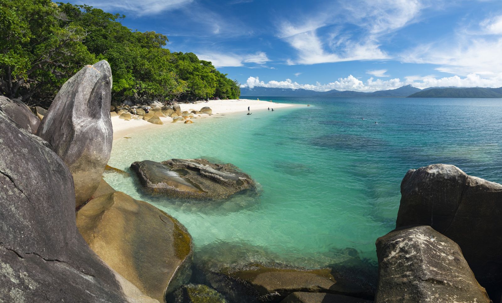
Shark Fin Bay, named after a distinctive rock formation (not actual sharks), lies on the northern side of Fitzroy Island just beyond White Rock. This bay is the crown jewel of Fitzroy Island's snorkeling, accessible only by guided snorkel safari boat tour. The fringing reef here boasts extensive coral cover with hard and soft coral bommies, giant clams, and exceptional marine life diversity — far richer than the island's shore-access spots. Green sea turtles are regular visitors, grazing on algae among the coral, while schools of parrotfish, triggerfish, Moorish idols, and butterflyfish swarm the reef. The isolation from beach traffic means the coral is pristine, offering a true Great Barrier Reef experience without the long journey to the outer reef. This is Fitzroy Island's premier snorkel destination for confident swimmers and experienced snorkelers.
Shark Fin Bay (Fitzroy Island)
It's a go.
Showing last known conditions
Last evaluated
 © Joshua Tagicakibau
The spot
Community-maintained
Community contribution: submitted by Daniel
Know before you go
Logged by the community, confirmed by mods
Moderate risk: Boat traffic at jetty
Boats and ferries regularly approach the jetty. Snorkellers must stay clear of the vessel lane and keep watch for arriving/departing boats.
Moderate risk: Marine stingers (jellyfish)
Marine stingers (including box jellyfish) may be present in tropical Queensland waters. Wear a stinger suit during the season.
Moderate risk: Stinger jellyfish (seasonal)
Box jellyfish (Chironex fleckeri) and Irukandji jellyfish may occasionally reach the island despite the 4 km passage from the mainland. Stinger suits are recommended during stinger season.
Low risk: Variable visibility with tides
Underwater visibility varies from 2-5m at low tide up to 5-10m at high tide, affecting navigation and safety.
Low risk: Tidal currents at headlands
Tidal currents can develop around the rocky headlands, especially at Turtle Rock. Swim with caution and check tide times.
Low risk: Long open-water swim required
Shark Fin Bay is only accessible by boat (guided tour) or a very long swim from White Rock. The swim is approximately 100+ metres across open water with currents.
Low risk: Variable visibility
Variable visibility due to freshwater runoff, especially after rain in the wet season (Nov–Apr). Dry season (Jun–Sep) offers clearest conditions.
Wildlife Guide
No wildlife notes for this spot yet.
Gallery
2 photos from the community
Getting in
Shark Fin Bay is located on the northern side of Fitzroy Island, 29 km southeast of Cairns. Access is via a 45-minute high-speed ferry (Fitzroy Flyer) from the Reef Fleet Terminal at 1 Spence Street, Cairns. Once on the island, Shark Fin Bay is not accessible by foot from shore — it requires a guided snorkel safari tour by boat from the island's main beach, or a very long swim past White Rock. The guided tour departs from the Fitzroy Island Sports Hub (FISH) near the resort pool.
Paid parking available at the Cairns Reef Fleet Terminal area (1 Spence Street, Cairns). Free for 2 hours, then $6 for 2-3 hours, up to $20 max.
Snorkel Safari Guided Tour costs $79 per person (includes full-day snorkel gear hire). Ferry transfers to Fitzroy Island cost extra (~$55-70 return). Cairns mainland parking at the Reef Fleet Terminal
Spot Map
Community
Trust
Is this spot real, accurate, still loved?
Spots near Queensland

No nearby spots yet.
Quick verify
One tap helps the community keep this spot honest.
About this data
- Conditions last evaluated
- Spot data last updated
- Data sources
- Open-Meteo (marine & weather conditions), tide predictions via UTide, community contributors (descriptions, hazards, marine life).
- License
- Spot content licensed under CC BY-SA 4.0. How's the Spot is open source.