Seaspray Beach is a sweeping stretch of wild coastline along Victoria's famed Ninety Mile Beach in the Gippsland region. Facing Bass Strait, this powerful, untamed ocean beach offers a raw and humbling snorkeling experience far from the crowds. The shallow inshore waters near the patrolled surf zone provide calm pockets on good weather days, while the surrounding marine park teems with small reef fish and invertebrates hiding among the sandy-bottom seagrass beds.
Seaspray Beach
AdvancedMAYBE
MAYBE
Fair. Experienced snorkellers only.
Showing last known conditions
Wave Height 0.2 mSwell Period 7.2 sWind Speed 9.8 knPrecipitation 51 mmTidal Phase flood
Last evaluated
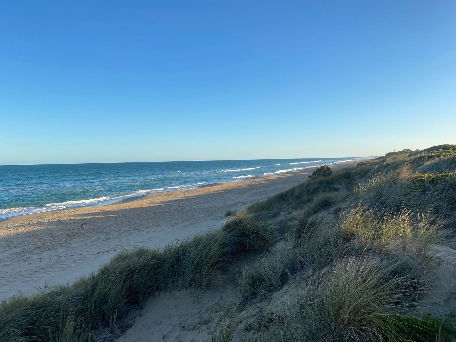 © Sgroey
DANGER: Explicit Risks Present
Seaspray Beach has hazards marked as danger. Entering the water here means you may face serious risks to your personal safety.
- Strong Rips and Undertow danger
Ninety Mile Beach is notorious for powerful rip currents that can sweep swimmers and snorkelers offshore quickly.
The spot
Community-maintained
Community contribution: submitted by Daniel
Know before you go
Logged by the community, confirmed by mods
High risk: Strong Rips and Undertow
Ninety Mile Beach is notorious for powerful rip currents that can sweep swimmers and snorkelers offshore quickly.
Moderate risk: Large Ocean Swells
Exposed to Bass Strait swells which can create rough, dumping surf conditions dangerous for snorkeling.
Low risk: Shifting Sandbars
Sandbars shift constantly after storms, creating unexpected shallow spots and drop-offs.
Low risk: Cold Water Temperatures
Bass Strait waters are cold year-round, especially in winter, increasing risk of hypothermia without a wetsuit.
Wildlife Guide
No wildlife notes for this spot yet.
Gallery
3 photos from the community
Getting in
Shore entry
Entry
Seaspray Beach is located in the small town of Seaspray, approximately 220 km east of Melbourne via the Princes Highway (M1/A1) and the South Gippsland Highway. Turn off at Sale and follow the Seaspray Road south for about 30 km to the town centre.
Parking & facilities
Free street parking is available along the Seaspray foreshore, with additional parking near the Seaspray Surf Life Saving Club.
toiletsparkingshowerspicnic_tables
No fees for beach access.
Spot Map
Community
Gallery ┬╖ 3 photos
Trust
Is this spot real, accurate, still loved?
Spots near Victoria

No nearby spots yet.
Needs verification
Quick verify
One tap helps the community keep this spot honest.
About this data
- Conditions last evaluated
- Spot data last updated
- Data sources
- Open-Meteo (marine & weather conditions), tide predictions via UTide, community contributors (descriptions, hazards, marine life).
- License
- Spot content licensed under CC BY-SA 4.0. How's the Spot is open source.
Weather & swell ┬╖ Open-Meteo marine & weather APIs Tides ┬╖ UTide harmonic analysis Sea & safety ┬╖ community reports