Safety Bay, nestled on the northern shore of Warnbro Sound in Western Australia, is a sheltered sandy haven that serves as the launchpad for snorkeling adventures in the Shoalwater Islands Marine Park. Its calm, shallow waters make for easy shore-entry access to seagrass meadows and limestone reef patches, where snorkelers can encounter a vibrant cast of marine life. With views across to Penguin, Seal, and Garden Islands, the bay offers an idyllic setting to float above rocky habitats, spotting schools of fish, rays, and if you're lucky, resident sea lions that patrol the nearby island waters.
Safety Bay
BeginnerMAYBE
MAYBE
Fair. Experienced snorkellers only.
Showing last known conditions
Wave Height 0.8 mSwell Period 11 sWind Speed 0.8 knPrecipitation 0.7 mmTidal Phase ebb
Last evaluated
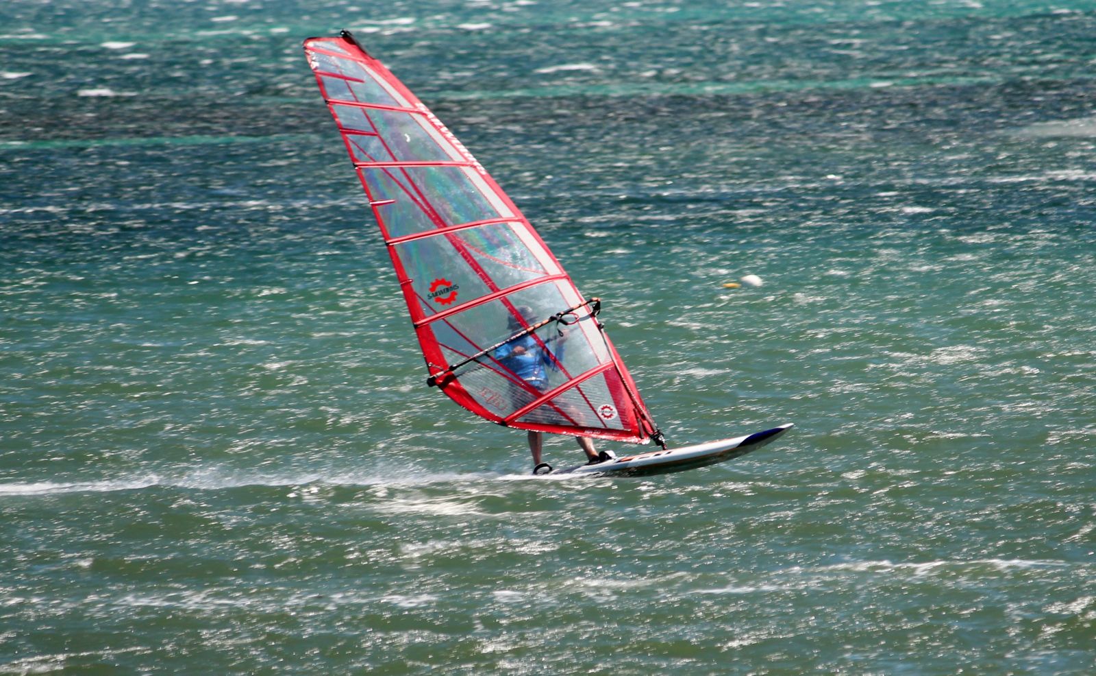 © JarrahTree
The spot
Community-maintained
Community contribution: submitted by Daniel
Know before you go
Logged by the community, confirmed by mods
Low risk: Boat traffic in summer
Popular boating and jet-ski area with increased vessel activity during summer months near launch ramps and channels.
Low risk: Shallow reef and seagrass
Sandbars and seagrass meadows can conceal patch reef; avoid standing on coral or seagrass and watch for sudden depth changes.
Low risk: Incoming tide currents
Tidal flows through channels between islands can create moderate currents, especially at high tide turning points.
Wildlife Guide
No wildlife notes for this spot yet.
Gallery
3 photos from the community
Getting in
Shore entry
Entry
Safety Bay lies about 50 km south of Perth, roughly 45 minutes by car. From Perth, take the Kwinana Freeway south to the Safety Bay Road exit and continue west to the beach area. The main access is via Safety Bay Road which runs along the foreshore.
Parking & facilities
Street parking is available along Safety Bay Road and there are several small carpark bays near the beach access points. Ample space on weekdays, fills up on sunny weekends.
toiletsparkingpicnic_tables
Free entry. No Marine Park entry fee required for shore-based snorkeling, though boat-based tours may charge fees.
Spot Map
Community
Gallery ┬╖ 3 photos
Trust
Is this spot real, accurate, still loved?
Spots near Western Australia

No nearby spots yet.
Needs verification
Quick verify
One tap helps the community keep this spot honest.
About this data
- Conditions last evaluated
- Spot data last updated
- Data sources
- Open-Meteo (marine & weather conditions), tide predictions via UTide, community contributors (descriptions, hazards, marine life).
- License
- Spot content licensed under CC BY-SA 4.0. How's the Spot is open source.
Weather & swell ┬╖ Open-Meteo marine & weather APIs Tides ┬╖ UTide harmonic analysis Sea & safety ┬╖ community reports