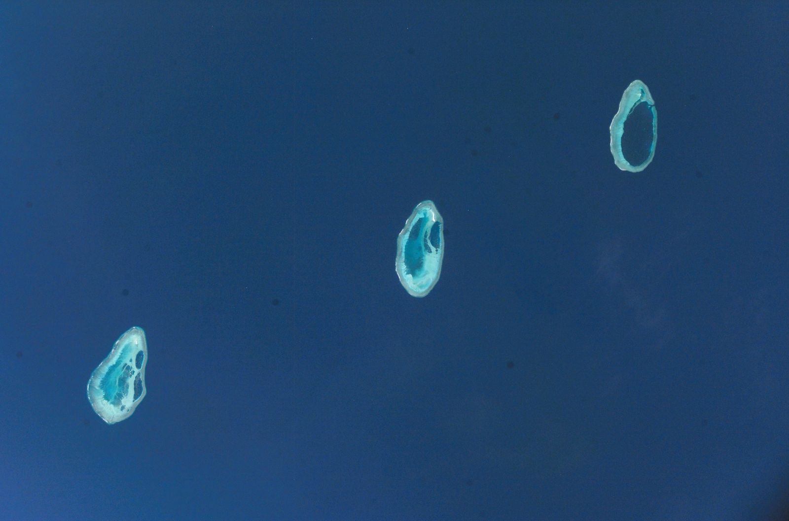
Far off the Kimberley coast, 300 km northwest of Broome, Rowley Shoals Marine Park comprises three pristine coral atolls — Mermaid, Clerke, and Imperieuse Reefs — that rise dramatically from the edge of Australia's continental shelf. These are considered the finest examples of oceanic atolls in Australian waters, each encircling a shallow turquoise lagoon with sheer vertical drop-offs plunging into deep blue water. With over 214 species of hard coral and 530 species of fish, the park offers world-class drift snorkelling through coral gardens, gin-clear lagoons, and channels shaped by powerful tidal flows. Mermaid Reef is a strict no-take National Park Zone, while Clerke and Imperieuse feature sandy cays where white-tailed tropicbirds breed. Access is exclusively by live-aboard cruises from Broome between September and December.
Rowley Shoals Marine Park (Mermaid Reef, Clerke Reef, Imperieuse Reef)
Fair. Experienced snorkellers only.
Showing last known conditions
Last evaluated
DANGER: Explicit Risks Present
Rowley Shoals Marine Park (Mermaid Reef, Clerke Reef, Imperieuse Reef) has hazards marked as danger. Entering the water here means you may face serious risks to your personal safety.
- Isolated remote location danger
Located 300 km offshore from Broome with no medical facilities, emergency services, or evacuation options. Any injury or medical incident is extremely serious.
- Remote location danger
Located 260 km offshore with no emergency medical facilities; evacuation is via cruise vessel only and can take 12+ hours to reach Broome.
The spot
Community-maintained
Community contribution: submitted by Daniel
Know before you go
Logged by the community, confirmed by mods
High risk: Isolated remote location
Located 300 km offshore from Broome with no medical facilities, emergency services, or evacuation options. Any injury or medical incident is extremely serious.
High risk: Remote location
Located 260 km offshore with no emergency medical facilities; evacuation is via cruise vessel only and can take 12+ hours to reach Broome.
Moderate risk: Strong tidal currents
The Rowley Shoals experience dramatic tidal movement with up to 4-5 metre tidal ranges. Channels between reefs and lagoon entrances can have powerful currents that can sweep snorkellers away from their group.
Moderate risk: Box jellyfish / marine stingers
Tropical waters of the Kimberley region may contain marine stingers including box jellyfish, particularly during the warmer months (November to April).
Moderate risk: Exposed reef flats at low tide
Large sections of the reef fall dry at low water, exposing sharp coral boulders that can cause injury to swimmers and damage to vessels.
Low risk: Marine heatwave / coral bleaching
Recent marine heatwaves have impacted the reef systems. While the area remains remarkable, bleaching events can affect coral health and water clarity.
Low risk: Marine heatwaves / coral bleaching
Like many reef systems, Imperieuse Reef has been affected by recent marine heatwave events which can reduce coral health and water clarity.
Low risk: Tidal currents in lagoon channels
The central lagoon has no navigable channel and can only be accessed by small tender vessels. Strong tidal flows can occur through reef passages.
Low risk: Marine stingers
Box jellyfish and other marine stingers may be present in tropical waters, particularly during the warmer months (October to May).
Wildlife Guide
No wildlife notes for this spot yet.
Gallery
3 photos from the community
Getting in
Rowley Shoals Marine Park is located approximately 280-300 km northwest of Broome, Western Australia. There is no public ferry service. Access is exclusively via private vessel or live-aboard cruise operators that depart from Broome. The journey takes approximately 12-18 hours overnight. Best visiting period: September to December.
No parking at the reef. Parking available in Broome at departure marina. Most operators arrange transfers or provide parking info on booking.
No entry fee for the marine park itself. Charter cruise prices vary by operator and duration.
Spot Map
Community
Trust
Is this spot real, accurate, still loved?
Spots near Western Australia

No nearby spots yet.
Quick verify
One tap helps the community keep this spot honest.
About this data
- Conditions last evaluated
- Spot data last updated
- Data sources
- Open-Meteo (marine & weather conditions), tide predictions via UTide, community contributors (descriptions, hazards, marine life).
- License
- Spot content licensed under CC BY-SA 4.0. How's the Spot is open source.