Rosebud Pier extends 300 metres into the calm, protected waters of Port Phillip Bay on the Mornington Peninsula, offering one of Melbourne's easiest and most rewarding shore-entry snorkels. The pier's pylons are encrusted with colourful sponges, ascidians and hydroids, while seagrass beds and sandy patches below host abundant marine life. Beginner snorkellers can see plenty without leaving the surface, and the shallow depth makes for relaxed, long explorations. The pier's annual winter spider crab migration is a renowned spectacle, drawing thousands of crabs into the shallows.
Rosebud Pier
BeginnerMAYBE
MAYBE
Fair. Experienced snorkellers only.
Showing last known conditions
Wave Height 0.8 mSwell Period 12 sWind Speed 9.2 knPrecipitation 33 mmTidal Phase flood
Last evaluated
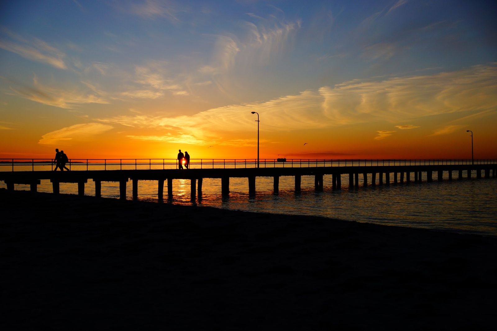 © Alex Wigan alwig64
The spot
Community-maintained
Community contribution: submitted by Daniel
Know before you go
Logged by the community, confirmed by mods
Moderate risk: Boat traffic
The pier extends into a shipping channel with large vessels passing near the end. Snorkellers should stay close to the pier structure and remain aware of boat movements.
Low risk: Strong winds from Port Phillip
South-westerly winds can whip up choppy conditions and reduce visibility, particularly in the afternoon when afternoon sea breezes strengthen.
Low risk: Cold water temperatures
Port Phillip Bay waters are cool year-round, ranging from 10-14°C in winter to 18-22°C in summer, posing a cold shock risk without proper wetsuit protection.
Wildlife Guide
No wildlife notes for this spot yet.
Gallery
3 photos from the community
Getting in
Shore entry
Entry
From Melbourne, take the M1/M3 south-east then follow the Mornington Peninsula Freeway (M11) to Rosebud. Turn onto Jetty Road at the Rosebud roundabout and follow it to the foreshore. The pier is at the northern end of Jetty Road, directly opposite the main car park.
Parking & facilities
Free street parking available along Jetty Road and surrounding streets, plus a large public car park adjacent to the foreshore. The area has a Parking Precinct Plan, so check signage for time limits, especially in summer.
toiletsparkingpicnic_tablesdrinking_watershowers
Free access. No entry or parking fees.
Spot Map
Community
Gallery ┬╖ 3 photos
Trust
Is this spot real, accurate, still loved?
Spots near Victoria

No nearby spots yet.
Needs verification
Quick verify
One tap helps the community keep this spot honest.
About this data
- Conditions last evaluated
- Spot data last updated
- Data sources
- Open-Meteo (marine & weather conditions), tide predictions via UTide, community contributors (descriptions, hazards, marine life).
- License
- Spot content licensed under CC BY-SA 4.0. How's the Spot is open source.
Weather & swell ┬╖ Open-Meteo marine & weather APIs Tides ┬╖ UTide harmonic analysis Sea & safety ┬╖ community reports