Rocky Bay, on the Swan River near Fremantle in Perth's Peel region, is a sheltered river snorkel and shore-dive spot that comes into its own when ocean conditions are rough elsewhere. The bay's rocky bottom and limestone reef structures give way to sandy patches, with a maximum depth of around 8.5 metres. Its protected position makes it a reliable alternative to exposed coastal sites, offering calm, murky-but-fish-filled waters ideal for a quick underwater escape close to the city.
Rocky Bay
IntermediateMAYBE
MAYBE
Fair. Experienced snorkellers only.
Showing last known conditions
Wave Height 1.1 mSwell Period 11 sWind Speed 1.9 knPrecipitation 0.4 mmTidal Phase ebb
Last evaluated
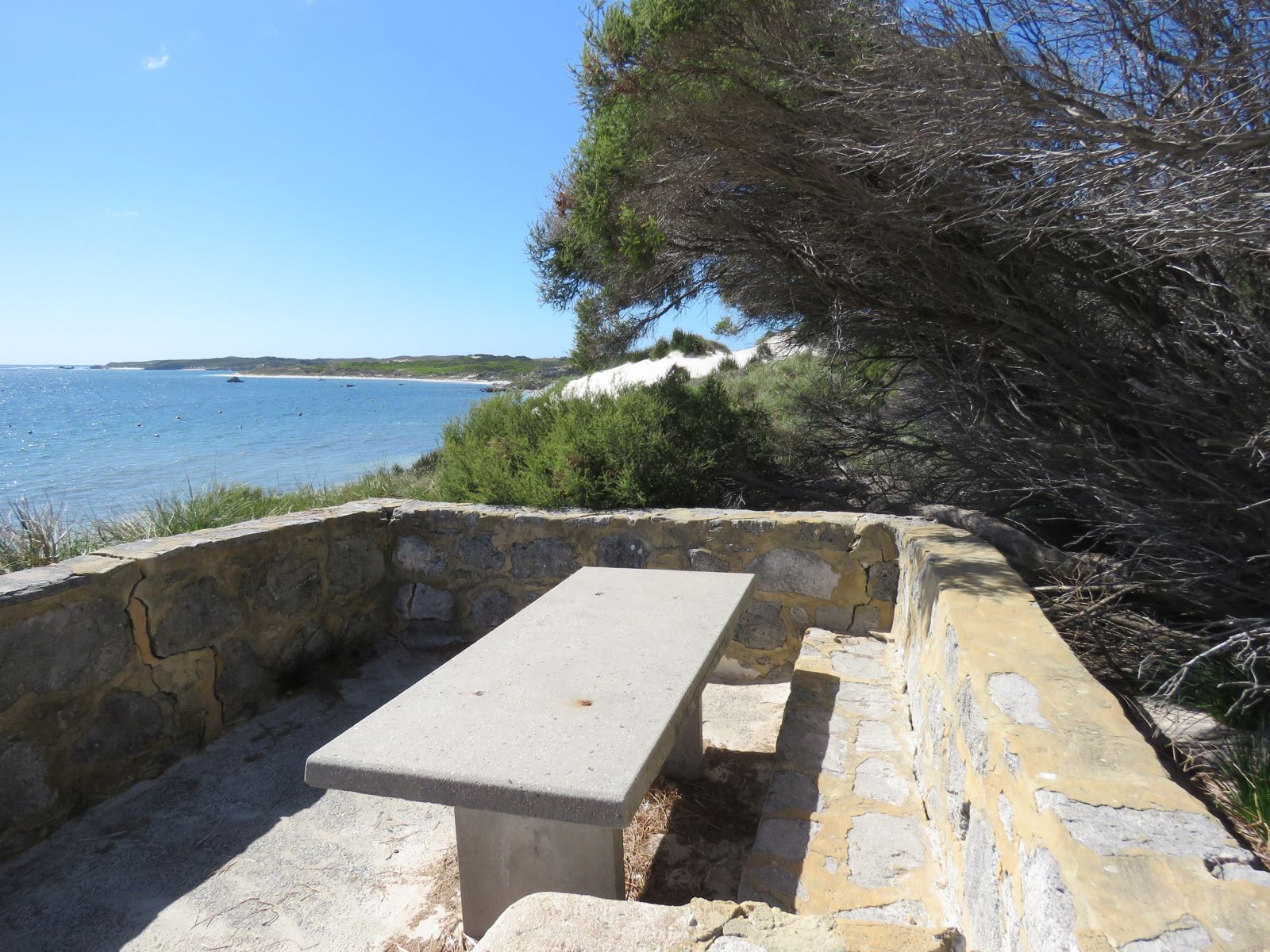
The spot
Community-maintained
Community contribution: submitted by Daniel
Know before you go
Logged by the community, confirmed by mods
Moderate risk: Boat traffic
The Swan River sees recreational and commercial vessels; snorkellers should remain aware of boat movements.
Low risk: Variable visibility
River silting and runoff can reduce visibility, especially after rain or wind swell.
Low risk: Cold water temperatures
Winter water temperatures in the Swan River can drop significantly, requiring thicker wetsuits.
Wildlife Guide
No wildlife notes for this spot yet.
Gallery
3 photos from the community
Getting in
Shore entry
Entry
Rocky Bay is located along the Swan River near Fremantle. From Perth city centre, drive south-west via Canning Highway or Stirling Highway towards Fremantle, then follow local roads to the riverfront near the Rocky Bay area. Parking is available along the foreshore roads.
Parking & facilities
Limited roadside parking available along the foreshore near the bay.
parking
No entry fees.
Spot Map
Community
Gallery ┬╖ 3 photos
Trust
Is this spot real, accurate, still loved?
Spots near Western Australia

No nearby spots yet.
Needs verification
Quick verify
One tap helps the community keep this spot honest.
About this data
- Conditions last evaluated
- Spot data last updated
- Data sources
- Open-Meteo (marine & weather conditions), tide predictions via UTide, community contributors (descriptions, hazards, marine life).
- License
- Spot content licensed under CC BY-SA 4.0. How's the Spot is open source.
Weather & swell ┬╖ Open-Meteo marine & weather APIs Tides ┬╖ UTide harmonic analysis Sea & safety ┬╖ community reports