The Rockingham Foreshore and Westend Rockingham Jetty sit within the Shoalwater Islands Marine Park, around 45 minutes south of Perth. The jetty itself, located on the far eastern corner of Rockingham's Esplanade, is a hub for dolphin-swim tours and fishing, while the adjacent foreshore gives snorkellers shore access to the Churchill Park Dive Trail — a 60-metre wade out to artificial reefs, small wrecks, and limestone formations encrusted with soft corals and sponges. Clear, sheltered waters make this an accessible and rewarding snorkel spot for all abilities.
Rockingham Foreshore / Westend Rockingham Jetty
BeginnerMAYBE
MAYBE
Fair. Experienced snorkellers only.
Showing last known conditions
Wave Height 0.6 mSwell Period 11 sWind Speed 0.6 knPrecipitation 0.7 mmTidal Phase ebb
Last evaluated
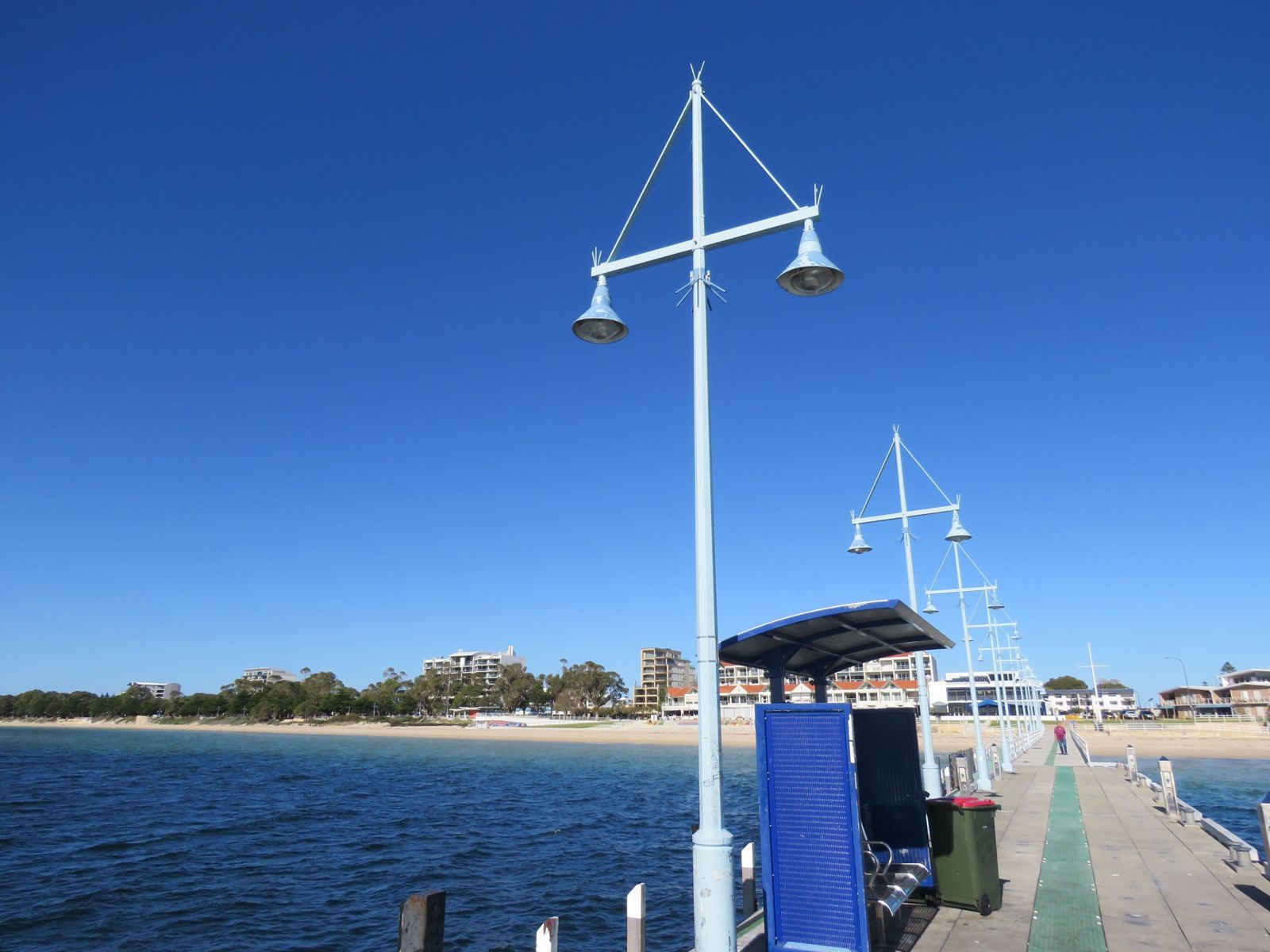 © Calistemon
The spot
Community-maintained
Community contribution: submitted by Daniel
Know before you go
Logged by the community, confirmed by mods
Low risk: Boat Traffic
The jetty area and surrounding waters are used by tour boats and fishing vessels. Stay alert near the jetty structure and mooring areas.
Low risk: Shallow Limestone Formations
Limestone overhangs, small caves and swim-throughs lie at shallow depths (max ~5m). Snorkellers risk scraping against sharp limestone edges.
Wildlife Guide
No wildlife notes for this spot yet.
Gallery
4 photos from the community
Getting in
Shore entry
Entry
Located on the far eastern corner of Rockingham's Esplanade, about a 45-minute drive south of Perth via the Kwinana Freeway. The Churchill Park Dive Trail entry point is off Flinders Lane.
Parking & facilities
Flinders Lane car park provides easy access to the foreshore and the Churchill Park Dive Trail entry. Street parking is also available along the Esplanade.
toiletsparkingpicnic_tables
No fee for shore-based snorkelling. Dolphin-swim tours from the jetty are ticketed separately. A recreational dive permit is required to dive the Saxon Ranger wreck (offshore).
Spot Map
Community
Gallery ┬╖ 4 photos
Trust
Is this spot real, accurate, still loved?
Spots near Western Australia

No nearby spots yet.
Needs verification
Quick verify
One tap helps the community keep this spot honest.
About this data
- Conditions last evaluated
- Spot data last updated
- Data sources
- Open-Meteo (marine & weather conditions), tide predictions via UTide, community contributors (descriptions, hazards, marine life).
- License
- Spot content licensed under CC BY-SA 4.0. How's the Spot is open source.
Weather & swell ┬╖ Open-Meteo marine & weather APIs Tides ┬╖ UTide harmonic analysis Sea & safety ┬╖ community reports