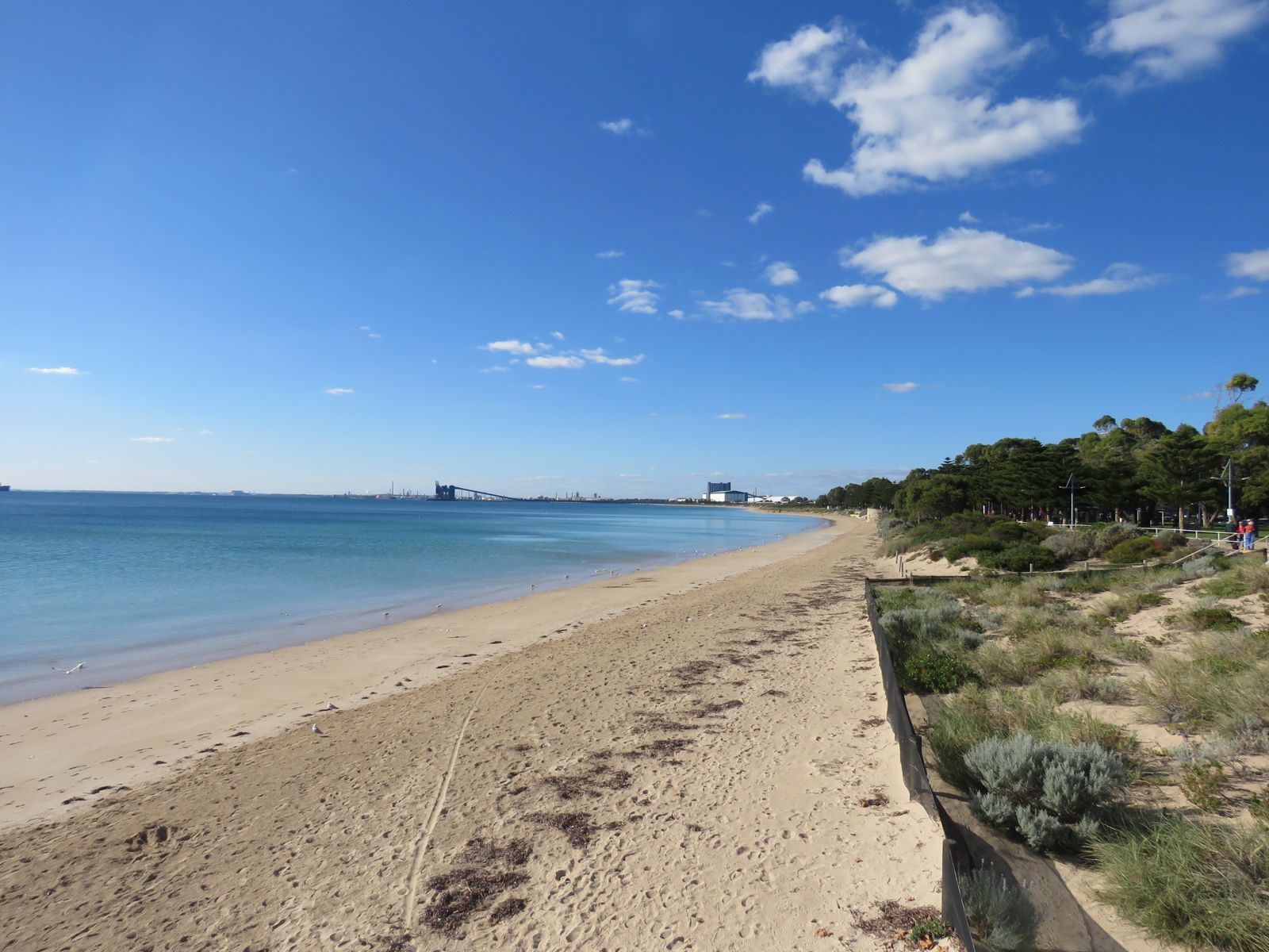
Rockingham Beach Snorkel Trail, also known as the Churchill Park Dive Trail, sits just 60 metres offshore from the Rockingham Foreshore. This unique underwater attraction features deliberately placed artificial reef structures including small wrecks, a decommissioned airplane, a chicken coop, and a tyre reef — all heavily encrusted with vibrant soft corals, tube worms, and colourful sponges. The shallow, sheltered waters offer easy shore-entry snorkelling, and the trail is a known hangout for the striking Western Australian seahorse, alongside wrasses, blennies, sea stars, and eels. Part of the wider Shoalwater Islands Marine Park, it delivers a fascinating artificial reef experience minutes from the car park.
Rockingham Beach Snorkel Trail
BeginnerMAYBE
MAYBE
Fair. Experienced snorkellers only.
Showing last known conditions
Wave Height 0.6 mSwell Period 11 sWind Speed 0.6 knPrecipitation 0.7 mmTidal Phase ebb
Last evaluated
The spot
Community-maintained
Community contribution: submitted by Daniel
Know before you go
Logged by the community, confirmed by mods
Low risk: Protruding submerged structures
Artificial wrecks and structures sit shallow (3–6m) and can be sharp or have entanglement hazards; exercise caution when exploring.
Low risk: Boat traffic
The trail is nearshore but within a busy marine park; stay aware of small vessels transiting the area.
Low risk: Limited visibility on poor days
Visibility averages 6m on good days but can drop to 1–3m after wind or swell, reducing navigation safety.
Low risk: Moderate tidal currents
Snorkellers venturing beyond the protected shallows of the Foreshore may encounter moderate tidal currents in Warnbro Sound, especially around the Channel. Best snorkeled on a rising tide.
Low risk: Boat traffic in offshore zones
Boat traffic near the Churchill Park Dive Trail and Saxon Ranger wreck zone. Shore entry at the Foreshore is generally boat-free, but stay alert outside marked swim areas.
Low risk: Sharp limestone reef at Point Peron
Limestone reefs and rocky platforms at Point Peron can have sharp edges; cut-resistant booties are recommended.
Low risk: Shallow reef areas
Submerged reef close to shore has sharp limestone edges and sea urchins at low tide. Wear reef shoes or booties.
Low risk: Afternoon sea breeze
Southerly winds can stir up chop and reduce visibility, especially in the afternoon.
Low risk: Sharp limestone reef
Shallow limestone reef patches can be sharp underfoot — reef shoes recommended.
Wildlife Guide
No wildlife notes for this spot yet.
Gallery
3 photos from the community
Getting in
Shore entry
Entry
Located on the Rockingham Foreshore, about a 50-minute drive south of Perth. Access via Flinders Lane car park off Rockingham Beach Road. Wade approximately 60 metres from the shore to reach the trail.
Parking & facilities
Flinders Lane car park off Rockingham Beach Road is the main parking area. Parking can be limited on busy weekends; arrive early.
toiletsparkingpicnic_tablesshowers
Free for snorkelling. A recreational dive permit is required to dive the Saxon Ranger wreck (offshore), but not for the shore-entry trail.
Spot Map
Community
Gallery ┬╖ 3 photos
Trust
Is this spot real, accurate, still loved?
Spots near Western Australia

No nearby spots yet.
Needs verification
Quick verify
One tap helps the community keep this spot honest.
About this data
- Conditions last evaluated
- Spot data last updated
- Data sources
- Open-Meteo (marine & weather conditions), tide predictions via UTide, community contributors (descriptions, hazards, marine life).
- License
- Spot content licensed under CC BY-SA 4.0. How's the Spot is open source.
Weather & swell ┬╖ Open-Meteo marine & weather APIs Tides ┬╖ UTide harmonic analysis Sea & safety ┬╖ community reports