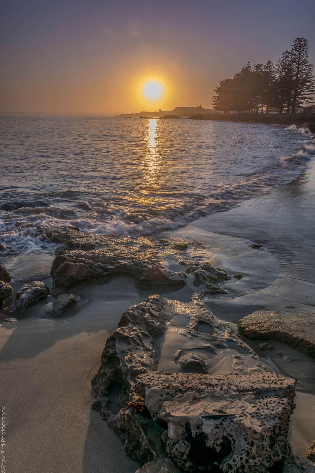
Stretching for kilometres along Guichen Bay, Robe's Long Beach (also known simply as Robe Beach) offers a sweeping curve of white sand and aqua waters that consistently earns it a spot among Australia's top beaches. The gentle surf around First and Second Ramps makes it a favourite for family swimming and snorkeling, with a shallow, sandy bottom that provides clear conditions on calm days. Beyond the shore lies a coastline rich with reef formations and the historic wreck sites of the SS Admella and other vessels, offering adventurous snorkelers opportunities to explore marine habitats. The beach is drive-on in permitted areas, making access effortless.
Robe Beach / Long Beach
BeginnerSKIP
SKIP
Poor conditions. Stay out today.
Showing last known conditions
Wave Height 3.0 mSwell Period 10 sWind Speed 4.9 knPrecipitation 9.4 mmTidal Phase slack
Last evaluated
The spot
Community-maintained
Community contribution: submitted by Daniel
Know before you go
Logged by the community, confirmed by mods
Moderate risk: Cliff instability
The limestone cliffs along the Obelisk Cliff track can crumble. Stay clear of cliff edges and be cautious walking down to hidden coves.
Moderate risk: Large swell surge
During large southerly swells, waves can become dangerous at the southern end (Third Ramp onwards) where surf is consistently larger.
Moderate risk: Rip currents
As with any open-ocean beach, rips can form, particularly near the steeper ramp zones and around the reef at Stony Rise.
Moderate risk: Surf conditions
Moderate to heavy surf can roll in suddenly, creating dangerous conditions for less experienced swimmers.
Low risk: Larger surf at Third Ramp
Waves build significantly beyond Third Ramp, with stronger shore breaks and rips that challenge weaker swimmers.
Low risk: Vehicle traffic on beach
Cars are permitted to drive onto the sand, creating a hazard for swimmers and snorkelers near access ramps.
Low risk: Outgoing tide current
A moderate current can develop along the beach on an outgoing tide, especially near the southern end.
Low risk: Rip currents near reef sections
The rocky reef sections at the ends of the beach can create unpredictable currents and rips, especially in rougher conditions.
Low risk: Swell variation
Surf builds from gentle waves at First/Second Ramp to larger surf from Third Ramp onwards, which can surprise inexperienced swimmers.
Low risk: Slippery limestone rocks
The limestone reef platforms and rocks near the southern end can be extremely slippery, especially when wet.
Low risk: Strong currents at Third Ramp
Stronger currents and rip potential exist at the less-protected southern section past Third Ramp.
Low risk: Swell and surf zones
Surf increases around Third Ramp and beyond, where larger waves can develop. Swimmers and snorkelers should stick to the calm first and second ramp areas.
Low risk: Surf zone currents
Larger surf develops around Third Ramp and beyond, with stronger shorebreak and rip potential that can be hazardous for inexperienced swimmers.
Low risk: Limestone reef hazards
Shallow limestone reefs and rocks lie just offshore in sections of the beach, posing a risk of cuts or scrapes when entering the water.
Low risk: Shifting sandbars
Sandbars shift frequently, altering water depth and current patterns without warning.
Wildlife Guide
No wildlife notes for this spot yet.
Gallery
5 photos from the community
Getting in
Shore entry
Entry
From the Robe town centre, head west on Main Road/Ocean Street towards the foreshore. Long Beach runs parallel to the road and is easily reached via multiple vehicle access ramps (First Ramp, Second Ramp, Third Ramp). The beach is about a 5-minute drive from the Robe town centre.
Parking & facilities
Limited parking along the foreshore near the beach ramps. The beach itself is drive-on in designated areas for 4WD vehicles — check local signage for permitted zones.
parkingtoilets
Free access.
Spot Map
Community
Gallery ┬╖ 5 photos
Trust
Is this spot real, accurate, still loved?
Spots near South Australia

No nearby spots yet.
Needs verification
Quick verify
One tap helps the community keep this spot honest.
About this data
- Conditions last evaluated
- Spot data last updated
- Data sources
- Open-Meteo (marine & weather conditions), tide predictions via UTide, community contributors (descriptions, hazards, marine life).
- License
- Spot content licensed under CC BY-SA 4.0. How's the Spot is open source.
Weather & swell ┬╖ Open-Meteo marine & weather APIs Tides ┬╖ UTide harmonic analysis Sea & safety ┬╖ community reports