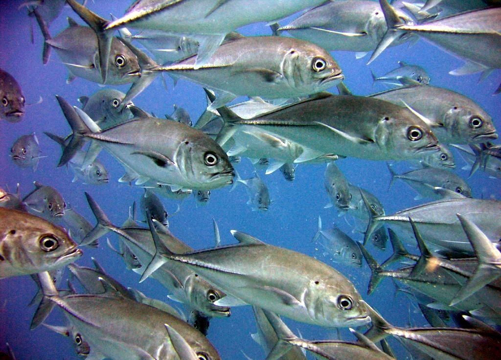
Ribbon Reef No. 5 is one of ten spectacular ribbon reefs stretching along the outer edge of the northern Great Barrier Reef between Cooktown and Lizard Island. This long, narrow reef — oriented parallel to the continental shelf edge — is exposed to Coral Sea nutrients that fuel extraordinary coral growth. Snorkelers explore dramatic sheer vertical walls dropping to 35 metres, studded with gorgonian sea fans, sea whips, and vibrant coral gardens. The site features a shallow cave-tunnel system at around 15 metres, and the clear oceanic waters (visibility often exceeding 50 metres) offer encounters with massive schools of double-headed parrotfish, grey reef sharks, white-tipped reef sharks, and barracuda. The remote location means uncrowded, pristine conditions and some of the finest snorkeling on the entire Great Barrier Reef.
Ribbon Reef No. 5
It's a go.
Showing last known conditions
Last evaluated
The spot
Community-maintained
Community contribution: submitted by Daniel
Know before you go
Logged by the community, confirmed by mods
Moderate risk: Strong tidal currents at outer reef sites
Strong tidal currents can develop at exposed sites like Dynamite Pass and Pixie Pinnacle, making drift snorkelling/diving conditions challenging. Incoming tides create the strongest flows.
Moderate risk: Coral Sea swell and rough seas (Dec–Apr)
The northern Ribbon Reefs are exposed to the Coral Sea swell. Rough seas are most likely during the monsoon season (December to April), with reduced visibility and challenging conditions.
Moderate risk: Tidal Currents
Strong tidal currents can run along the reef wall, reaching up to 0.5 knots or more, making swimming against the current difficult.
Moderate risk: Ocean Swell and Wind
Exposed outer reef location with wind and swell from the Coral Sea, particularly rough during the wet season (January to April).
Moderate risk: Deep Water Drop-off
The reef wall drops into deep ocean water; staying within safe snorkeling depth limits is essential.
Low risk: Marine stingers (box jellyfish & Irukandji)
Marine stingers (box jellyfish and Irukandji) are present in tropical Queensland waters, particularly during the warmer months (November to May).
Low risk: Remote location – limited emergency services
The remote northern reefs are far from emergency medical facilities. Liveaboard vessels carry basic first aid but serious incidents require evacuation by helicopter or boat.
Low risk: Steep Drop-Offs
The reef features steep walls dropping to 35+ metres — deep water comes very close to the reef edge.
Low risk: Remote Location
Remote location with no immediate emergency services; evacuation requires boat transport.
Low risk: Large Pelagic Shark Presence
Occasional patrols by hammerhead sharks and other large pelagic species in the adjacent blue water.
Low risk: Exposed Outer Reef Conditions
Exposed outer reef location; conditions can become rough with wind shifts, limiting access.
Wildlife Guide
No wildlife notes for this spot yet.
Gallery
6 photos from the community
Getting in
Ribbon Reef No. 5 is located approximately 132 km north of Port Douglas, Queensland. Accessible only via multi-day liveaboard expeditions from Cairns or Port Douglas (e.g., 4-day/3-night trips). The journey takes approximately 14 hours by boat from Cairns. No day-trip access is available due to the distance.
Parking available at departure marinas in Cairns and Port Douglas (e.g., Reef Fleet Terminal, Cairns or Port Douglas Marina).
Included in liveaboard tour packages; prices vary by operator and itinerary length.
Spot Map
Community
Trust
Is this spot real, accurate, still loved?
Spots near Queensland

No nearby spots yet.
Quick verify
One tap helps the community keep this spot honest.
About this data
- Conditions last evaluated
- Spot data last updated
- Data sources
- Open-Meteo (marine & weather conditions), tide predictions via UTide, community contributors (descriptions, hazards, marine life).
- License
- Spot content licensed under CC BY-SA 4.0. How's the Spot is open source.