Stretching along Tasmania's rugged north-east coast within Mount William National Park, Red Rocks to Eddystone Point offers a wild, windswept snorkeling experience framed by dramatic granite headlands and the iconic larapuna/Eddystone Point Lighthouse. The sheltered boat-ramp bay at Eddystone Point provides calm entry into shallow, kelp-rich waters where giant fronds sway in the surge. As you swim toward open sea, the bottom drops to 10 metres among boulder reefs teeming with temperate fish, abalone, and curious swimming anemones. This is remote, raw Tasmania — expect solitude, cool clear water, and an unforgettable sub-Antarctic marine encounter.
Red Rocks to Eddystone Point
IntermediateGO
GO
It's a go.
Showing last known conditions
Wave Height 0.2 mSwell Period 7.8 sWind Speed 8.0 knPrecipitation 3.0 mmTidal Phase flood
Last evaluated
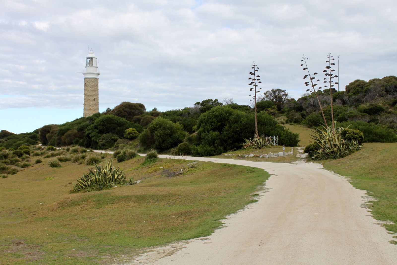 © Eli Duke
The spot
Community-maintained
Community contribution: submitted by Daniel
Know before you go
Logged by the community, confirmed by mods
Moderate risk: Strong Southerly Wind Gusts
Prevailing southerly winds can exceed 20 knots, churning the surface and reducing visibility, especially outside the sheltered boat-ramp bay.
Moderate risk: Remote Location
The nearest services are 50+ km away in Gladstone or St Helens; medical emergencies require significant response time.
Low risk: Cold Water Temperature
Water temperatures hover around 17°C in summer and drop considerably in winter, increasing the risk of cold-water shock and hypothermia without a wetsuit.
Low risk: Giant Kelp Entanglement
Thick beds of giant kelp with fronds up to 1 metre wide can entangle swimmers and fins, particularly in shallow areas near the shore.
Low risk: Shallow Entry with Rocks
The boat-ramp bay is only 2 metres deep for most of its extent, with submerged boulders and reef patches requiring careful navigation.
Wildlife Guide
No wildlife notes for this spot yet.
Gallery
3 photos from the community
Getting in
Shore entry
Entry
From St Helens, drive north on the B82 (St Helens Point Road) to Gladstone, then follow signs to Mount William National Park. Continue past Ansons Bay to larapuna/Eddystone Point. The boat ramp and adjacent bay are located immediately north of the lighthouse reserve. The final section is on unsealed roads — allow 50+ minutes from St Helens.
Parking & facilities
Limited dirt parking area near the Eddystone Point boat ramp and lighthouse reserve. Spaces for around 6-8 vehicles.
toiletsparking
Mount William National Park entry fee applies. Camping at Deep Creek Campground nearby: approximately $13/night for 2 adults.
Spot Map
Community
Gallery ┬╖ 3 photos
Trust
Is this spot real, accurate, still loved?
Spots near Tasmania

No nearby spots yet.
Needs verification
Quick verify
One tap helps the community keep this spot honest.
About this data
- Conditions last evaluated
- Spot data last updated
- Data sources
- Open-Meteo (marine & weather conditions), tide predictions via UTide, community contributors (descriptions, hazards, marine life).
- License
- Spot content licensed under CC BY-SA 4.0. How's the Spot is open source.
Weather & swell ┬╖ Open-Meteo marine & weather APIs Tides ┬╖ UTide harmonic analysis Sea & safety ┬╖ community reports