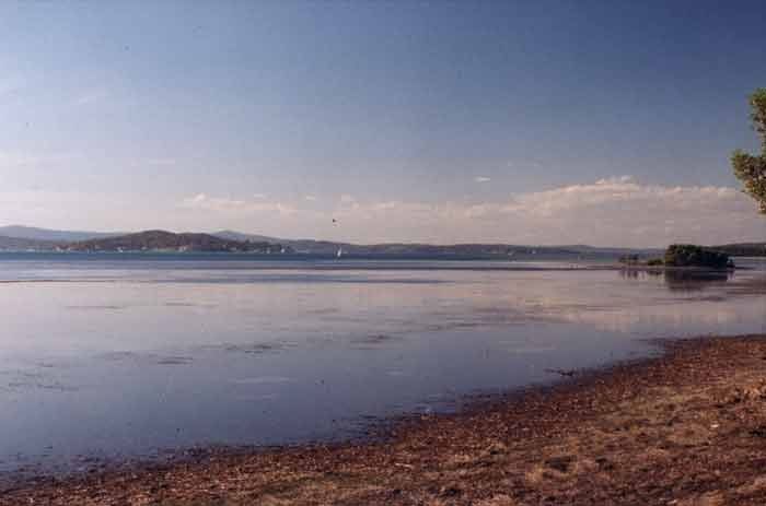
Pulbah Island, the largest island in Lake Macquarie (NSW Central Coast), is a 69-hectare nature reserve fringed by pebbled beaches, quiet coves, and towering rocky cliffs. The island's eastern end extends a reef honeycombed with caves and gutters, where soft and hard coral beds filter the clear lake waters. Sheltered turquoise shallows and protected rockpools make this a peaceful escape for snorkelers exploring a unique freshwater-lake ecosystem. Accessible only by boat or kayak, Pulbah offers a wild, undisturbed atmosphere.
Pulbah Island
IntermediateGO
GO
It's a go.
Showing last known conditions
Wave Height 0.4 mSwell Period 6.4 sWind Speed 7.5 knPrecipitation 1.7 mmTidal Phase slack
Last evaluated
 © Tim Starling
The spot
Community-maintained
Community contribution: submitted by Daniel
Know before you go
Logged by the community, confirmed by mods
Moderate risk: Weekend boat traffic
Boat traffic in the main lake channel can be significant on weekends; snorkelers must stay aware of approaching vessels.
Low risk: Southerly wind change / wind chop
The lake can experience sudden southerly wind changes, creating choppy conditions and strong wind-driven currents, especially near the island's eastern reef.
Low risk: Submerged rocky reef and boulders
Shallow rocky reef and submerged boulders extend from the eastern end of the island near the caves; careful navigation is needed to avoid cuts or entanglement.
Wildlife Guide
No wildlife notes for this spot yet.
Gallery
2 photos from the community
Getting in
Boat
Entry
Pulbah Island sits in the southern basin of Lake Macquarie. The best access is by private boat, kayak, or hired vessel from boat ramps at Chain Valley Bay, Wangi Wangi, or Murrays Beach. Parking is available at Chain Valley Bay Road carpark. No ferry service operates to the island.
Parking & facilities
Parking available at the northern end of Chain Valley Bay Road and at Murrays Beach boat ramp area.
parking
No entrance fee for day visits to Pulbah Island Nature Reserve.
Spot Map
Community
Gallery ┬╖ 2 photos
Trust
Is this spot real, accurate, still loved?
Spots near New South Wales

No nearby spots yet.
Needs verification
Quick verify
One tap helps the community keep this spot honest.
About this data
- Conditions last evaluated
- Spot data last updated
- Data sources
- Open-Meteo (marine & weather conditions), tide predictions via UTide, community contributors (descriptions, hazards, marine life).
- License
- Spot content licensed under CC BY-SA 4.0. How's the Spot is open source.
Weather & swell ┬╖ Open-Meteo marine & weather APIs Tides ┬╖ UTide harmonic analysis Sea & safety ┬╖ community reports