Port Vincent sits on the calm eastern shore of Yorke Peninsula, a sheltered bay with crystal-clear waters and a sandy town beach that gently shelves into the shallows — ideal for wading straight into snorkelling. The floating pontoon offshore is a favourite swim target, while the old jetty and marina at the northern end create artificial reef habitats that attract fish and occasional visiting dolphins. Originally a bustling 19th-century grain port, the town now offers a relaxed holiday atmosphere with cliff-top lookouts and a protected bay that stays flat and safe for snorkellers of all abilities.
Port Vincent
BeginnerMAYBE
MAYBE
Fair. Experienced snorkellers only.
Showing last known conditions
Wave Height 0.0 mSwell Period 3.0 sWind Speed 3.6 knPrecipitation 24 mmTidal Phase ebb
Last evaluated
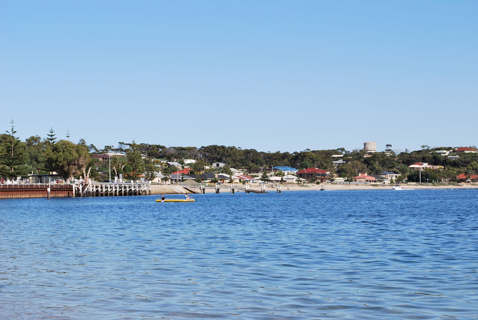
The spot
Community-maintained
Community contribution: submitted by Daniel
Know before you go
Logged by the community, confirmed by mods
Low risk: Boat traffic near jetty
The jetty area is used by fishing boats and recreational vessels; swimmers and snorkellers should stay visible and be aware of boat movements.
Low risk: Blue swimmer crab rakes
Crab raking is popular in the shallows — watch for submerged rake tines and people wading with rakes in the sandy areas.
Low risk: Boat traffic near marina
The northern end of the bay has an active marina with boat movement. Snorkellers should stay clear of the marina channel and boat ramps.
Low risk: Fishing lines and hooks
Anglers fish from the jetty; snorkellers should be aware of fishing lines dangling from above and avoid swimming directly beneath active fishers.
Low risk: Boat traffic
The marina at the northern end and general boating activity in the bay require vigilance, especially near the channel.
Low risk: Low tide shallows
At low tide the water can become very shallow close to shore, exposing sandbars and making entry trickier in some areas.
Low risk: Boat traffic around jetty
The jetty and marina area sees regular boat and yacht activity, especially during peak season. Snorkelers should stay aware of vessel movements.
Low risk: Slippery jetty timbers
The old jetty timbers can be slippery with algae, posing a slip hazard when entering or exiting the water.
Wildlife Guide
No wildlife notes for this spot yet.
Gallery
5 photos from the community
Getting in
Shore entry
Entry
Port Vincent is on the eastern coast of Yorke Peninsula, about 190 km (90 minutes) west of Adelaide via the A1 (Port Wakefield Road) and B85 (Yorke Highway). Turn east onto Port Vincent Road at Minlaton and follow it 20 km into town.
Parking & facilities
Free street parking runs along the beachfront esplanade. A public carpark is located near the marina at the northern end of the bay.
toiletsparkingshowerspicnic_tables
No entry fee. Free public access to the beach and jetty.
Spot Map
Community
Gallery ┬╖ 5 photos
Trust
Is this spot real, accurate, still loved?
Spots near South Australia

No nearby spots yet.
Needs verification
Quick verify
One tap helps the community keep this spot honest.
About this data
- Conditions last evaluated
- Spot data last updated
- Data sources
- Open-Meteo (marine & weather conditions), tide predictions via UTide, community contributors (descriptions, hazards, marine life).
- License
- Spot content licensed under CC BY-SA 4.0. How's the Spot is open source.
Weather & swell ┬╖ Open-Meteo marine & weather APIs Tides ┬╖ UTide harmonic analysis Sea & safety ┬╖ community reports