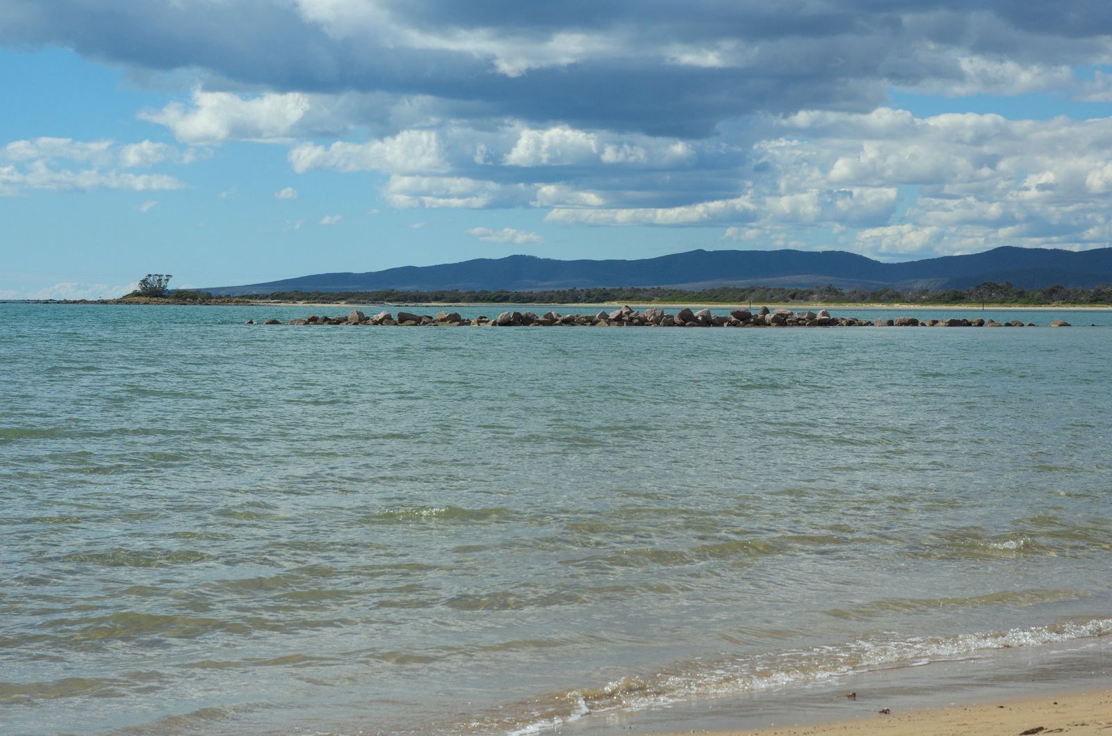
The Rubicon Estuary foreshore at Port Sorell offers a sheltered, shallow-water snorkeling experience on Tasmania's north-central coast. This calm estuarine environment, protected from Bass Strait swells by sand dunes and sandbars, features soft sandy patches interwoven with seagrass beds. The waterway is an Important Bird Area, and at low tide the flats extend out towards Penguin and Rabbit Islands — walkable from the foreshore. The estuary's warm, shallow summer waters make it an ideal beginner-friendly spot for spotting rays, flathead, and the small reef fish that thrive among the seagrass meadows along the Rubicon River channel.
Port Sorell Beach / Rubicon Estuary foreshore
BeginnerGO
GO
It's a go.
Showing last known conditions
Wave Height 0.4 mSwell Period 5.0 sWind Speed 4.1 knPrecipitation 13 mmTidal Phase flood
Last evaluated
The spot
Community-maintained
Community contribution: submitted by Daniel
Know before you go
Logged by the community, confirmed by mods
Moderate risk: Boat traffic
The Rubicon Estuary is used by recreational boats, fishing vessels, and water-skiers, particularly on summer weekends. Snorkelers should stay visible and near the shore.
Low risk: Outgoing tide current
Flowing tidal currents in the Rubicon Estuary channel can be moderate on an outgoing tide, especially near the river mouth. Snorkelers should be aware of tidal flow direction.
Low risk: Shallow depth at low tide
Large areas of the foreshore become very shallow (ankle to knee-deep) during low tide, restricting swimming and snorkeling to deeper channels.
Low risk: Cold water temperatures
Tasmanian coastal waters are temperate year-round. Even in summer water temperatures rarely exceed 18-20°C, requiring a wetsuit for comfort.
Wildlife Guide
No wildlife notes for this spot yet.
Gallery
3 photos from the community
Getting in
Shore entry
Entry
Port Sorell is an 18-minute drive (20 km) east of Devonport or a 65-minute drive (80 km) north-west of Launceston. The Rubicon Estuary foreshore is accessible via Port Sorell's main streets — park near the floating pontoon or along the waterfront reserves off Shearwater Boulevard.
Parking & facilities
Several parking bays are located along the foreshore and near the boat ramp at Springlawn Beach. Street parking is available near the town's caravan park and jetty area.
toiletsparking
No fees for beach or foreshore access.
Spot Map
Community
Gallery ┬╖ 3 photos
Trust
Is this spot real, accurate, still loved?
Spots near Tasmania

No nearby spots yet.
Needs verification
Quick verify
One tap helps the community keep this spot honest.
About this data
- Conditions last evaluated
- Spot data last updated
- Data sources
- Open-Meteo (marine & weather conditions), tide predictions via UTide, community contributors (descriptions, hazards, marine life).
- License
- Spot content licensed under CC BY-SA 4.0. How's the Spot is open source.
Weather & swell ┬╖ Open-Meteo marine & weather APIs Tides ┬╖ UTide harmonic analysis Sea & safety ┬╖ community reports